全球30m河湖基础矢量数据
收藏地球大数据科学工程2024-03-04 收录
下载链接:
https://data.casearth.cn/sdo/detail/5c19a5680600cf2a3c557b81
下载链接
链接失效反馈官方服务:
资源简介:
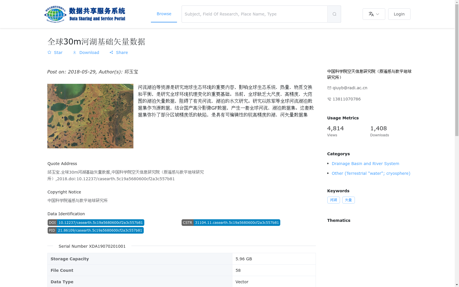
河流湖泊等资源是研究地球生态环境的重要内容,影响全球生态系统、热量、物质交换和平衡,是研究全球环境机理变化的重要基础。当前,全球缺乏大尺度、高精度、大范围的湖泊矢量数据,阻碍了有关河流、湖泊的水文研究。研究以陈军等全球河流湖泊数据集作为源数据,结合国产高分影像GF数据,产生一套全球河流、湖泊数据集。这套数据集弥补了部分区域精度低的缺陷,是具有可编辑性的较高精度的湖、河矢量数据集
Rivers, lakes and other inland water resources are key components of Earth's ecological environment research. They regulate global ecosystems, heat and material exchanges and maintain ecological balance, serving as critical foundations for investigating the mechanisms of global environmental changes. Currently, there is a global shortage of large-scale, high-precision, wide-coverage lake vector datasets, which has hindered hydrological research related to rivers and lakes. This study takes the global river and lake dataset developed by Chen et al. as the source data, combined with domestic high-resolution GF satellite imagery, to construct a new global river and lake dataset. This dataset addresses the issue of low precision in some regions, and is a highly editable, high-precision vector dataset for rivers and lakes.
提供机构:
中国科学院空天信息研究院(原遥感与数字地球研究所)
搜集汇总
数据集介绍
背景与挑战
背景概述
该数据集是一套全球河流和湖泊的矢量数据,空间分辨率为30米,基于陈军等全球河流湖泊数据集和国产高分影像GF数据生成,旨在弥补大尺度高精度湖泊矢量数据的不足,支持全球水文研究。数据格式为shp,存储容量为5.96 GB,覆盖全球范围。
以上内容由遇见数据集搜集并总结生成


