2020年中国滨海10 m分辨率滩涂(Tidal Flats)空间分布数据集
收藏国家地球系统科学数据中心2022-02-25 更新2024-03-04 收录
下载链接:
https://www.geodata.cn/data/datadetails.html?dataguid=78611568160415&docId=10268
下载链接
链接失效反馈官方服务:
资源简介:
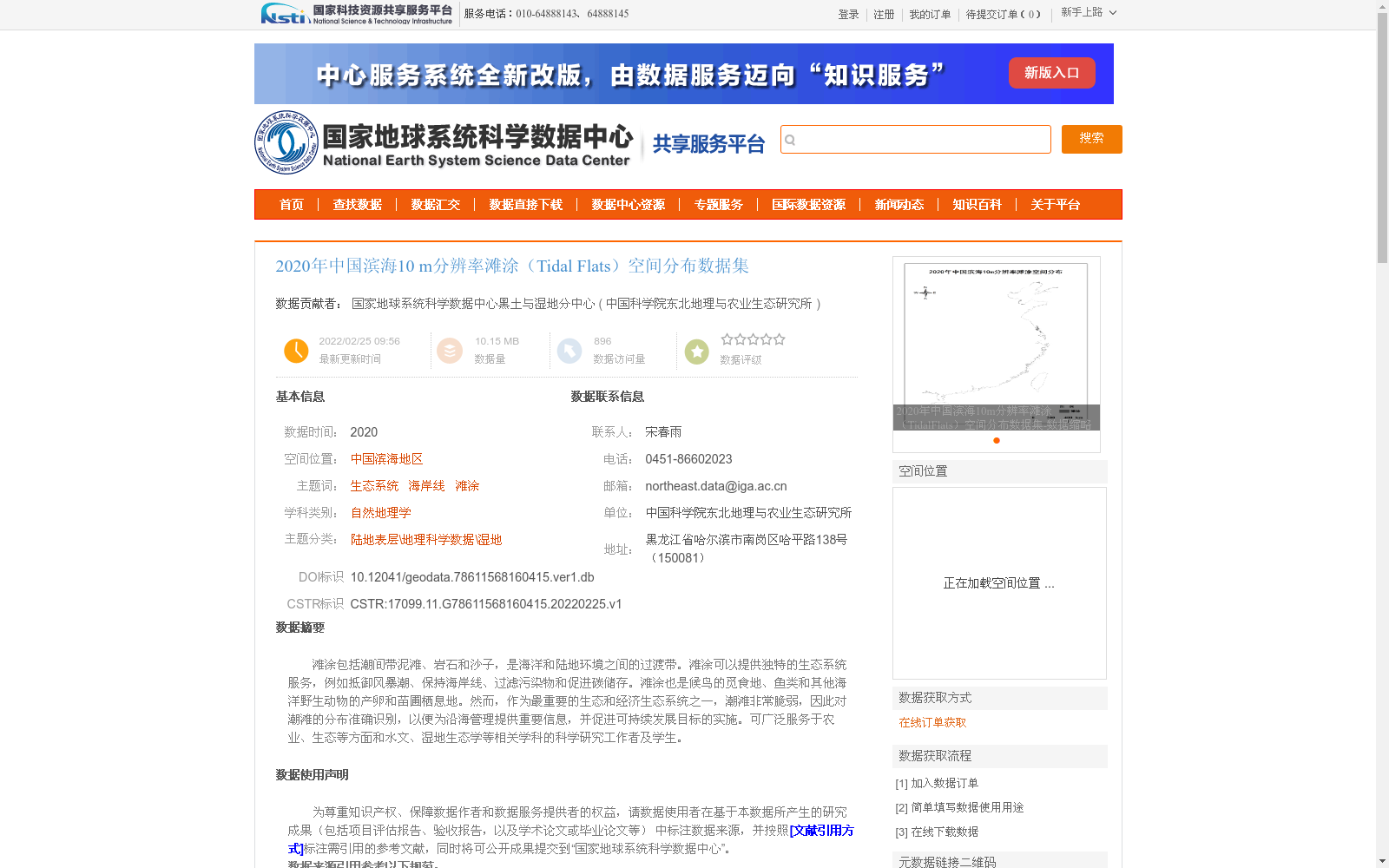
滩涂包括潮间带泥滩、岩石和沙子,是海洋和陆地环境之间的过渡带。滩涂可以提供独特的生态系统服务,例如抵御风暴潮、保持海岸线、过滤污染物和促进碳储存。滩涂也是候鸟的觅食地、鱼类和其他海洋野生动物的产卵和苗圃栖息地。然而,作为最重要的生态和经济生态系统之一,潮滩非常脆弱,因此对潮滩的分布准确识别,以便为沿海管理提供重要信息,并促进可持续发展目标的实施。可广泛服务于农业、生态等方面和水文、湿地生态学等相关学科的科学研究工作者及学生。
Tidal flats, which include intertidal mudflats, rocks and sand, are transitional zones between marine and terrestrial environments. They offer unique ecosystem services, including mitigating storm surges, stabilizing coastlines, filtering pollutants and promoting carbon sequestration. Tidal flats also function as foraging habitats for migratory birds, as well as spawning and nursery grounds for fish and other marine wildlife. However, as one of the most ecologically and economically significant ecosystems, tidal flats are extremely fragile. Thus, accurately identifying their distribution is crucial for providing key information to support coastal management and advancing the implementation of the Sustainable Development Goals (SDGs). This dataset can serve a broad range of scientific researchers and students in relevant disciplines such as agriculture, ecology, hydrology and wetland ecology, and is applicable to agricultural, ecological and other related fields.
提供机构:
中国科学院东北地理与农业生态研究所
创建时间:
2022-02-25
搜集汇总
数据集介绍
背景与挑战
背景概述
该数据集是2020年中国滨海地区10米分辨率滩涂空间分布数据,基于Sentinel-2密集时序影像和Google Earth Engine平台,采用MSIC-OA自动提取方法生成,覆盖辽宁至海南等沿海省份。数据集准确识别滩涂分布,为沿海管理、生态系统服务评估和可持续发展提供重要信息,适用于自然地理学、湿地生态学等领域的科学研究。
以上内容由遇见数据集搜集并总结生成


