怒江历史1:100万山洪灾害点数据集
收藏国家青藏高原科学数据中心2024-01-17 更新2024-02-29 收录
下载链接:
https://data.tpdc.ac.cn/zh-hans/data/ef50cb42-90fd-42d9-9e35-97bfba06e2e7
下载链接
链接失效反馈官方服务:
资源简介:
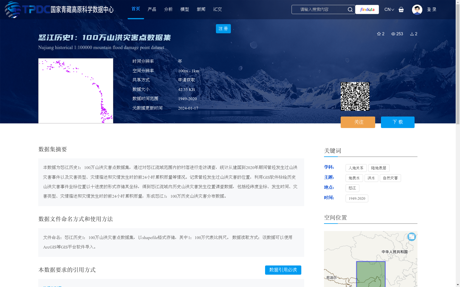
本数据为怒江历史1:100万山洪灾害点数据集,通过对怒江流域范围内的村落进行走访调查,统计从建国到2020年期间曾经发生过山洪灾害事件以及灾害类型、灾情描述和灾情发生时的前24小时累积雨量等情况。记录曾经发生过山洪灾害的位置,利用GIS软件标绘历史山洪灾害事件坐标位置以十进度的形式存储其坐标,得到怒江流域内历史山洪灾害发生位置调查数据,包括经纬度坐标、发生时间、灾害类型、灾情描述和灾情发生时的前24小时累积雨量,形成怒江1:100万历史山洪灾害分布数据。
This is the historical 1:1,000,000 scale mountain torrent disaster point dataset of the Nujiang River Basin. This dataset was developed based on field surveys and interviews with villages within the Nujiang River Basin, compiling data on mountain torrent disaster events, their types, disaster descriptions, and the accumulated 24-hour rainfall prior to each disaster occurrence during the period from the founding of the People's Republic of China to 2020. We recorded the locations of all historical mountain torrent disasters, plotted their coordinate positions using GIS software, and stored the coordinates in decimal degrees format. The resulting survey dataset contains information on the locations of historical mountain torrent disasters within the Nujiang River Basin, including longitude and latitude coordinates, occurrence time, disaster types, disaster descriptions, and the accumulated 24-hour rainfall prior to the disaster, ultimately forming the 1:1,000,000 scale historical mountain torrent disaster distribution dataset of the Nujiang River Basin.
提供机构:
王中根
创建时间:
2024-01-17
搜集汇总
数据集介绍
背景与挑战
背景概述
该数据集是怒江流域历史山洪灾害点的调查数据,比例尺为1:100万,覆盖1949年至2020年期间,通过走访调查收集了灾害位置、类型、灾情描述和灾发前24小时累积雨量等信息,以shapefile格式存储,空间分辨率为100m-1km,适用于GIS分析。数据聚焦于人地关系和自然灾害研究,为怒江地区的山洪灾害风险评估和防治提供了基础数据支持。
以上内容由遇见数据集搜集并总结生成


