长江经济带精细化水库空间数据集(CRD)(2020年)
收藏国家地球系统科学数据中心2024-01-04 更新2024-03-04 收录
下载链接:
https://www.geodata.cn/data/datadetails.html?dataguid=135841225792838&docId=4149
下载链接
链接失效反馈官方服务:
资源简介:
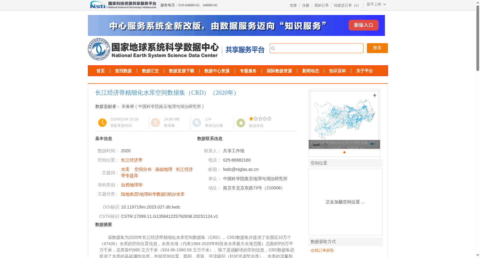
该数据集为2020年长江经济带精细化水库空间数据集(CRD)。CRD数据集共提供了全国近10万个(97435)水库的空间位置信息,水库水域(代表1984-2020年时段各水库最大水淹范围)总面积约5万平方千米,总库容约980 立方千米(924.96-1060.59 立方千米)。除了遥感解译的空间信息,CRD数据集还提供了水库的基础属性信息,包括空间位置、面积、库容、河流级别(针对河道型水库)、水库的流量和停滞时间(换水周期)等。在该数据基础上提取长江经济带范围内的水库空间分布数据。
包含1个shp矢量文件,CRD_v11_all_reservoirs_clip.shp。
This dataset is the 2020 Yangtze River Economic Belt Refined Reservoir Spatial Dataset (CRD). The CRD dataset provides spatial location information for nearly 100,000 (97,435) reservoirs across China. The total area of reservoir water areas, representing the maximum flooded extent of each reservoir during 1984–2020, is approximately 50,000 square kilometers, and the total reservoir storage capacity is about 980 cubic kilometers (ranging from 924.96 to 1060.59 cubic kilometers). In addition to the spatial information derived from remote sensing interpretation, the CRD dataset also provides basic attribute information of reservoirs, including spatial location, area, storage capacity, river order (for channel-type reservoirs), flow rate and residence time (water exchange cycle) of the reservoirs, etc. Reservoir spatial distribution data within the Yangtze River Economic Belt is extracted based on this dataset. It contains one shapefile (SHP): CRD_v11_all_reservoirs_clip.shp.
提供机构:
中国科学院南京地理与湖泊研究所
创建时间:
2023-11-24
搜集汇总
数据集介绍
背景与挑战
背景概述
该数据集为2020年长江经济带精细化水库空间数据集(CRD),提供了全国近10万个水库的空间位置信息和基础属性信息,包括面积、库容、河流级别等。数据集基于多源数据对比分析得到,显著增加了中国水库的数量和详细信息,特别是面积小于1平方公里的水库。
以上内容由遇见数据集搜集并总结生成


