全球1km分辨率TVDI数据集(2002年)
收藏国家地球系统科学数据中心2020-09-28 更新2024-04-21 收录
下载链接:
https://www.geodata.cn/data/datadetails.html?dataguid=1719035&docId=12002
下载链接
链接失效反馈官方服务:
资源简介:
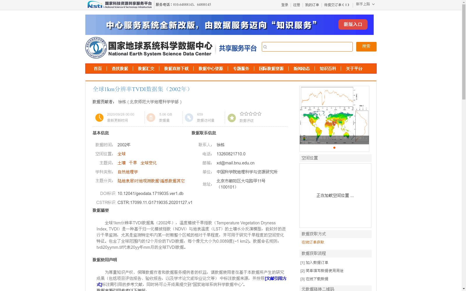
全球1km分辨率TVDI数据集(2002年),温度植被干旱指数(Temperature Vegetation Dryness Index, TVDI)是一种基于归一化植被指数(NDVI)与地表温度(LST)的土壤水分反演模型,能较好的进行干旱监测,尤其是监测特定年内某一时期整个区域的相对干旱程度,并可用于研究干旱程度的空间变化特征。包含了全球范围内的12个月份的TVDI数据,每个像元大小为0.0089度(~1 km2)。数据命名规则:tvdi20yymm.tif代表20yy年mm月的全球TVDI数据。
Global 1 km-resolution TVDI Dataset (2002). The Temperature Vegetation Dryness Index (TVDI) is a soil moisture retrieval model based on the Normalized Difference Vegetation Index (NDVI) and Land Surface Temperature (LST). It enables effective drought monitoring, particularly for assessing the relative drought severity of an entire region during a specific period within a single year, and can be used to analyze the spatial variation characteristics of drought severity. This dataset contains TVDI data for 12 months worldwide, with each pixel having a spatial resolution of 0.0089 degrees (~1 km²). The data naming convention is: tvdi20yymm.tif represents the global TVDI data for the mm-th month of the 20yy year.
提供机构:
北京师范大学地理科学学部
创建时间:
2020-11-27
搜集汇总
数据集介绍
背景与挑战
背景概述
该数据集是2002年全球1公里分辨率的温度植被干旱指数(TVDI)数据,基于MOD13A2和MOD11A2产品,通过Google Earth Engine和Python计算生成,用于监测土壤水分和干旱空间变化。数据集包含12个月份的全球覆盖,每个像元约1平方公里,采用WGS_1984地理坐标系,适用于自然地理学和全球变化研究。
以上内容由遇见数据集搜集并总结生成


