全球城市范围30米分辨率土地覆盖数据(1985-2020)
收藏国家青藏高原科学数据中心2024-01-11 更新2024-03-07 收录
下载链接:
https://data.tpdc.ac.cn/zh-hans/data/2f04ea1e-8430-4870-bb4a-c70e26523694
下载链接
链接失效反馈官方服务:
资源简介:
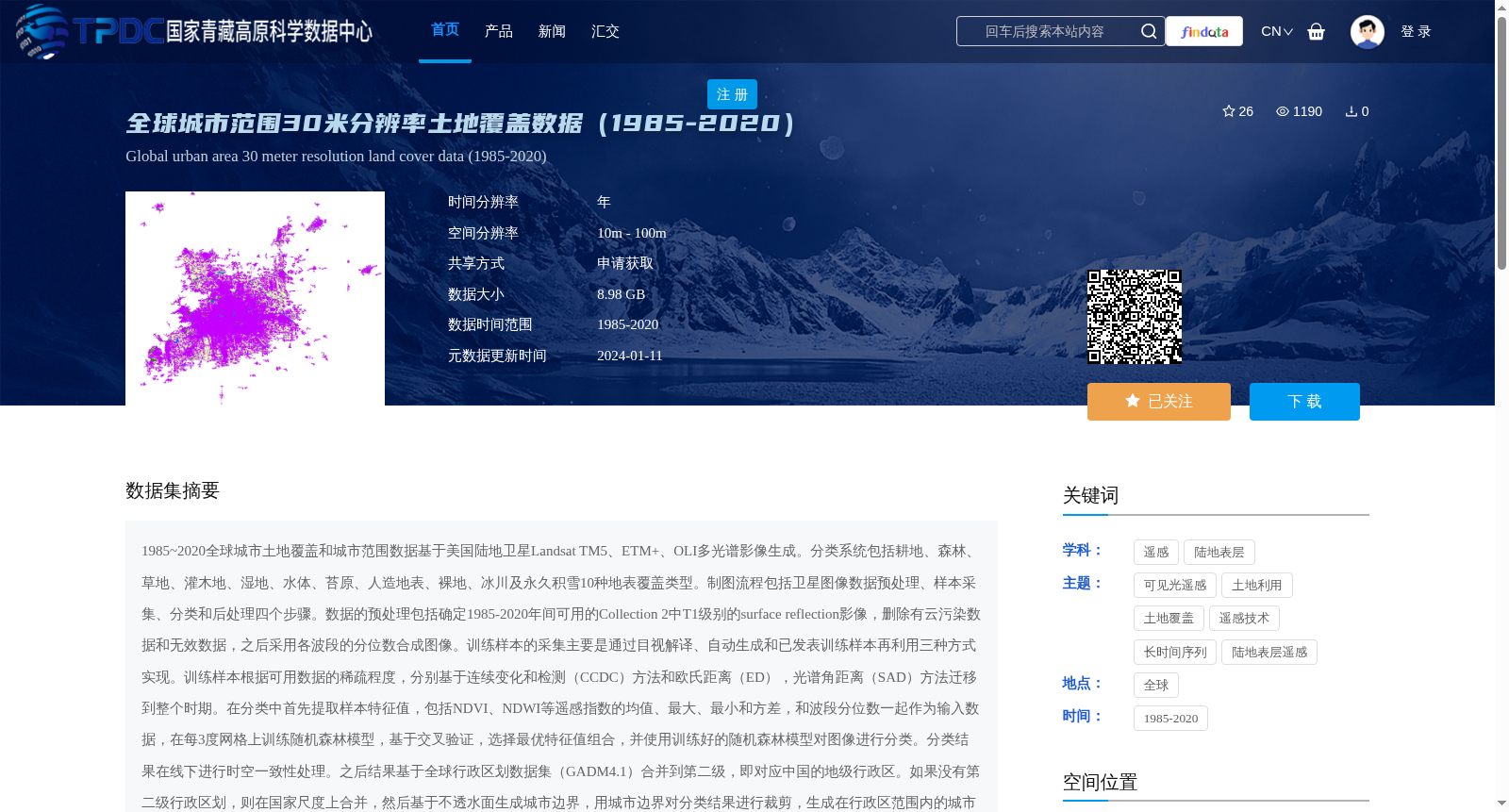
1985~2020全球城市土地覆盖和城市范围数据基于美国陆地卫星Landsat TM5、ETM+、OLI多光谱影像生成。分类系统包括耕地、森林、草地、灌木地、湿地、水体、苔原、人造地表、裸地、冰川及永久积雪10种地表覆盖类型。制图流程包括卫星图像数据预处理、样本采集、分类和后处理四个步骤。数据的预处理包括确定1985-2020年间可用的Collection 2中T1级别的surface reflection影像,删除有云污染数据和无效数据,之后采用各波段的分位数合成图像。训练样本的采集主要是通过目视解译、自动生成和已发表训练样本再利用三种方式实现。训练样本根据可用数据的稀疏程度,分别基于连续变化和检测(CCDC)方法和欧氏距离(ED),光谱角距离(SAD)方法迁移到整个时期。在分类中首先提取样本特征值,包括NDVI、NDWI等遥感指数的均值、最大、最小和方差,和波段分位数一起作为输入数据,在每3度网格上训练随机森林模型,基于交叉验证,选择最优特征值组合,并使用训练好的随机森林模型对图像进行分类。分类结果在线下进行时空一致性处理。之后结果基于全球行政区划数据集(GADM4.1)合并到第二级,即对应中国的地级行政区。如果没有第二级行政区划,则在国家尺度上合并,然后基于不透水面生成城市边界,用城市边界对分类结果进行裁剪,生成在行政区范围内的城市土地覆盖。基于独立的验证样本集对最后结果的分类精度进行检验。数据格式:栅格数据.tif。数据投影:WGS1984.
The global urban land cover and urban extent dataset spanning 1985–2020 was generated based on multi-spectral images from US Landsat TM5, ETM+, and OLI satellites. The classification system covers 10 land cover types, including cropland, forest, grassland, shrubland, wetland, water bodies, tundra, artificial surfaces, bare ground, and glaciers and permanent snow cover. The mapping workflow consists of four steps: satellite image data preprocessing, sample collection, classification, and post-processing. Data preprocessing involves identifying Tier 1 (T1) surface reflectance images from the Landsat Collection 2 that are available between 1985 and 2020, removing cloud-contaminated and invalid data, and then generating composite images using quantiles of each spectral band. Training sample collection is mainly implemented through three approaches: visual interpretation, automated generation, and reuse of published training samples. Based on the sparsity of available data, training samples are transferred to cover the entire time period using the Continuous Change Detection and Classification (CCDC) method, as well as the Euclidean Distance (ED) and Spectral Angle Distance (SAD) methods respectively. For classification, sample feature values are first extracted, including the mean, maximum, minimum, and variance of remote sensing indices such as NDVI and NDWI, along with band quantiles, which serve as input data. Random Forest models are trained on each 3-degree grid, and the optimal feature combination is selected via cross-validation. The trained Random Forest models are then used to classify the images. The classification results are subjected to offline spatiotemporal consistency processing. Subsequently, the results are aggregated to the second administrative level based on the Global Administrative Areas Dataset (GADM 4.1), which corresponds to prefecture-level administrative regions in China. If the second administrative level is unavailable, aggregation is performed at the national scale. Then, urban boundaries are generated based on impervious surfaces, and the classification results are clipped using these urban boundaries to produce urban land cover within administrative regions. The classification accuracy of the final results is validated using an independent validation sample set. Data format: Raster data in .tif format. Data projection: WGS 1984.
提供机构:
魏洪,冯泽民,杨军
创建时间:
2024-01-05
搜集汇总
数据集介绍
背景与挑战
背景概述
该数据集提供了1985-2020年间全球城市范围的30米分辨率土地覆盖数据,包括10种地表覆盖类型,如耕地、森林、草地等。数据基于Landsat卫星影像生成,经过预处理、样本采集、分类和后处理等步骤,最终以栅格数据.tif和shp格式提供,适用于ArcGIS等地理信息系统软件。
以上内容由遇见数据集搜集并总结生成


