黑河综合遥感联合试验:阿柔冻融观测站自动气象站数据集(2007-2015)
收藏国家青藏高原科学数据中心2021-04-19 更新2024-03-07 收录
下载链接:
https://data.tpdc.ac.cn/zh-hans/data/50a8fe84-deeb-49b0-b8d8-8f784bc27a89
下载链接
链接失效反馈官方服务:
资源简介:
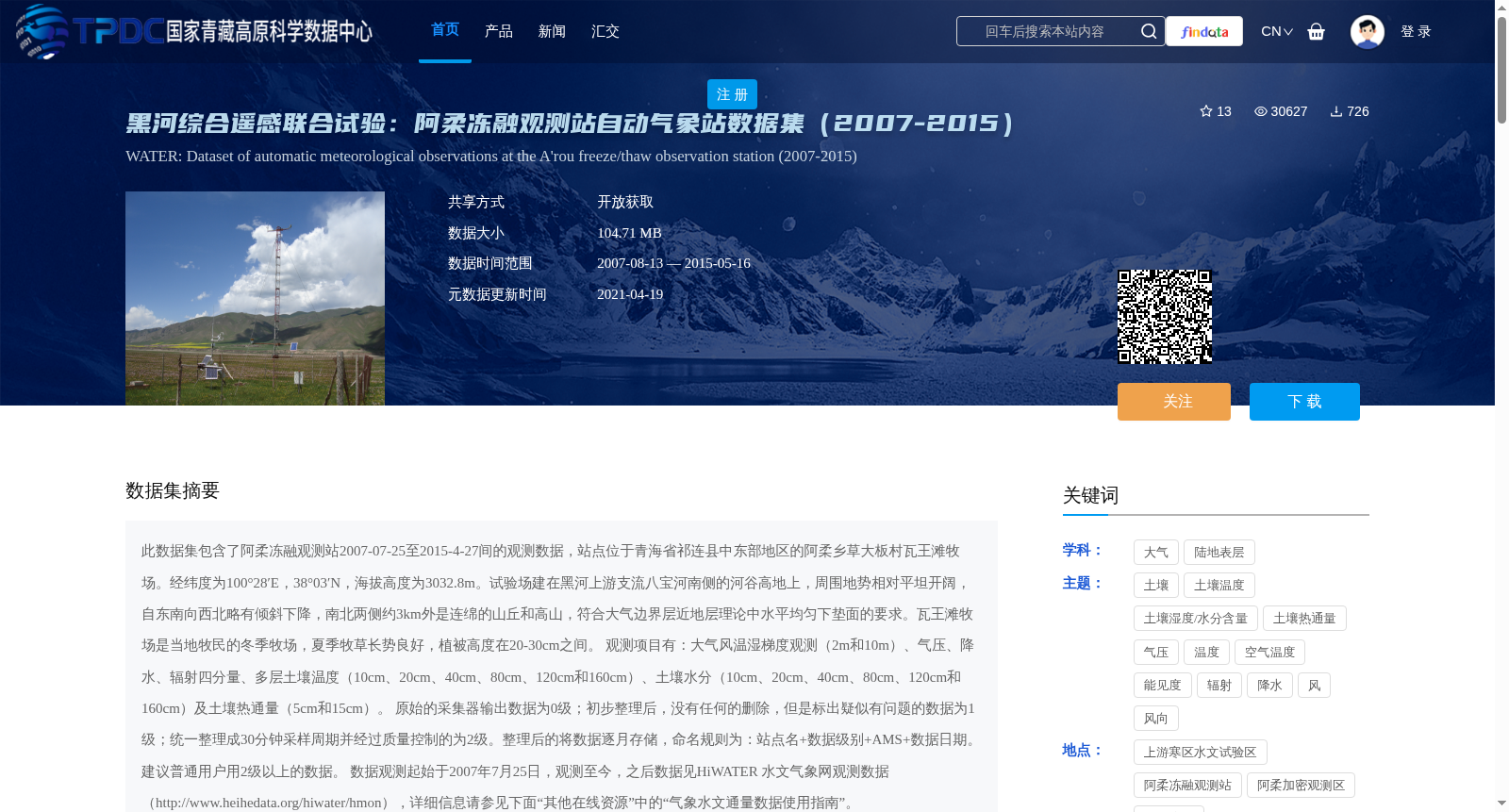
此数据集包含了阿柔冻融观测站2007-07-25至2015-4-27间的观测数据,站点位于青海省祁连县中东部地区的阿柔乡草大板村瓦王滩牧场。经纬度为100°28′E,38°03′N,海拔高度为3032.8m。试验场建在黑河上游支流八宝河南侧的河谷高地上,周围地势相对平坦开阔,自东南向西北略有倾斜下降,南北两侧约3km外是连绵的山丘和高山,符合大气边界层近地层理论中水平均匀下垫面的要求。瓦王滩牧场是当地牧民的冬季牧场,夏季牧草长势良好,植被高度在20-30cm之间。
观测项目有:大气风温湿梯度观测(2m和10m)、气压、降水、辐射四分量、多层土壤温度(10cm、20cm、40cm、80cm、120cm和160cm)、土壤水分(10cm、20cm、40cm、80cm、120cm和160cm)及土壤热通量(5cm和15cm)。
原始的采集器输出数据为0级;初步整理后,没有任何的删除,但是标出疑似有问题的数据为1级;统一整理成30分钟采样周期并经过质量控制的为2级。整理后的将数据逐月存储,命名规则为:站点名+数据级别+AMS+数据日期。建议普通用户用2级以上的数据。
数据观测起始于2007年7月25日,观测至今,之后数据见HiWATER 水文气象网观测数据(http://www.heihedata.org/hiwater/hmon),详细信息请参见下面“其他在线资源”中的“气象水文通量数据使用指南”。
This dataset contains observation data from the Arou Freeze-Thaw Observation Station between July 25, 2007 and April 27, 2015. The station is located at Wangwangtan Pasture, Caodaban Village, Arou Township, mid-eastern Qilian County, Qinghai Province, with geographic coordinates of 100°28′E, 38°03′N and an elevation of 3032.8 m. The experimental site is situated on a valley upland on the southern bank of the Babao River, a tributary of the upper reaches of the Heihe River. The surrounding terrain is relatively flat and open, gently sloping downward from southeast to northwest, with continuous hills and mountains approximately 3 km to its north and south sides, meeting the requirements of a horizontally homogeneous underlying surface in the surface layer theory of the atmospheric boundary layer. Wangwangtan Pasture is a winter pasture for local herdsmen, with lush summer vegetation reaching a height of 20–30 cm.
Observation items include: atmospheric wind, temperature and humidity gradient observations (at 2 m and 10 m), atmospheric pressure, precipitation, four-component radiation, multi-layer soil temperature (at 10 cm, 20 cm, 40 cm, 80 cm, 120 cm and 160 cm), soil moisture (at 10 cm, 20 cm, 40 cm, 80 cm, 120 cm and 160 cm), and soil heat flux (at 5 cm and 15 cm).
Raw data output by the data logger is classified as Level 0; after preliminary processing without any data deletion, data with suspected issues flagged is classified as Level 1; data uniformly processed to a 30-minute sampling interval and subjected to quality control is classified as Level 2. Processed data is stored monthly, with the naming convention: [Station Name] + [Data Level] + AMS + [Data Date]. Ordinary users are recommended to use data at Level 2 or higher.
Observations began on July 25, 2007, and have continued to the present; subsequent data can be found in the observation data of the HiWATER Hydrometeorological Network (http://www.heihedata.org/hiwater/hmon). For detailed information, please refer to the "Guidelines for Using Meteorological and Hydrological Flux Data" under "Other Online Resources" below.
提供机构:
胡泽勇,马明国,王维真,晋锐,黄广辉, 张智慧,谭俊磊
创建时间:
2015-05-16
搜集汇总
数据集介绍
背景与挑战
背景概述
该数据集包含青海省祁连县阿柔冻融观测站2007-2015年间的气象观测数据,主要观测项目包括大气风温湿梯度、气压、降水、辐射四分量、多层土壤温湿度及土壤热通量。数据经过质量控制,分为不同级别,适合用于气候和地表过程研究。
以上内容由遇见数据集搜集并总结生成


