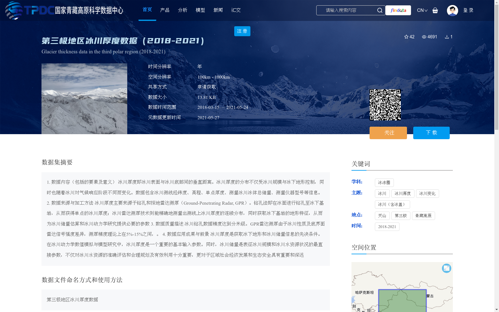
第三极地区冰川厚度数据(2018-2021)
收藏国家青藏高原科学数据中心2021-05-27 更新2024-03-01 收录
下载链接:
https://data.tpdc.ac.cn/zh-hans/data/7c643b0e-bdcb-4c2d-ab32-b3501f34fd41
下载链接
链接失效反馈官方服务:
资源简介:
1. 数据内容(包括的要素及意义)
冰川厚度即冰川表面与冰川底部间的垂直距离。冰川厚度的分布不仅受冰川规模与冰下地形控制,同时也随着冰川对气候响应阶段不同而变化。数据包含冰川测线经纬度、高程、单点厚度、测量冰川冰体总储量、测量仪器型号等信息。
2. 数据来源与加工方法
冰川厚度主要来源于钻孔和探地雷达测厚(Ground-Penetrating Radar, GPR)。钻孔法即在冰面进行钻孔至冰下基岩,从而获得单点的冰川厚度;冰川雷达测厚技术则能精确地测量出测线上冰川厚度的连续分布,同时获取冰下基岩的地形特征,从而为冰川储量估算和冰川动力学研究提供必要的参数
3. 数据质量描述
冰川钻孔数据精度达到分米级。GPR雷达测厚由于冰川性质及底界面雷达信号强度差异,测厚精度理论上在5%-15%之间,。
4. 数据应用成果与前景
冰川厚度是获取冰下地形和冰川储量信息的先决条件。在冰川动力学数值模拟与模型研究中,冰川厚度是一个重要的基本输入参数。同时,冰川储量是表征冰川规模和冰川水资源状况的最直接参数,不仅对冰川水资源的准确评估和合理规划及有效利用十分重要,更对于区域社会经济发展和生态安全具有重要和深远
1. Data Content (Including Elements and Their Meanings)
Glacier thickness refers to the vertical distance between the glacier surface and its bed. The distribution of glacier thickness is controlled not only by glacier scale and subglacial topography, but also varies with the stage of the glacier's response to climate change. This dataset contains information such as the latitude and longitude of glacier survey lines, elevation, single-point thickness, total measured glacier ice reserves, and the model of measuring instruments.
2. Data Sources and Processing Methods
Glacier thickness data mainly comes from two sources: drilling and ground-penetrating radar (GPR) thickness measurement. The drilling method involves drilling holes on the ice surface down to the subglacial bedrock to obtain single-point glacier thickness; the GPR thickness measurement technology can accurately measure the continuous distribution of glacier thickness along survey lines, while acquiring the topographic features of the subglacial bedrock, thus providing necessary parameters for glacier reserve estimation and glacial dynamic research.
3. Data Quality Description
Drilling-derived glacier thickness data achieves decimeter-level accuracy. For GPR-based thickness measurement, due to differences in glacier properties and the intensity of radar signals at the bed interface, the theoretical thickness measurement accuracy ranges between 5% and 15%.
4. Data Application Achievements and Prospects
Glacier thickness is a prerequisite for obtaining subglacial topography and glacier reserve information. It is an important basic input parameter in numerical simulation and model research of glacial dynamics. Meanwhile, glacier reserves are the most direct parameter characterizing glacier scale and glacial water resource status, which is not only critical for the accurate assessment, rational planning and effective utilization of glacial water resources, but also holds important and far-reaching significance for regional social and economic development and ecological security.
提供机构:
邬光剑
创建时间:
2021-05-20
搜集汇总
数据集介绍
背景与挑战
背景概述
该数据集提供了2018年至2021年第三极地区(如青藏高原和天山)的冰川厚度数据,内容包括冰川测线经纬度、高程、单点厚度和冰川冰体总储量等信息,主要通过钻孔和探地雷达测厚方法获取,钻孔精度达分米级,雷达测厚精度在5%-15%之间。数据适用于冰川动力学数值模拟和冰川水资源评估研究,时间分辨率为年,空间分辨率为100km至1000km,需申请获取。
以上内容由遇见数据集搜集并总结生成


