青藏高原逐3小时高分辨率大气-水文模拟数据集(2000-2010)
收藏国家青藏高原科学数据中心2022-11-09 更新2024-03-01 收录
下载链接:
https://data.tpdc.ac.cn/zh-hans/data/fdfb1d26-5fee-409e-8f2e-998c342bce65
下载链接
链接失效反馈官方服务:
资源简介:
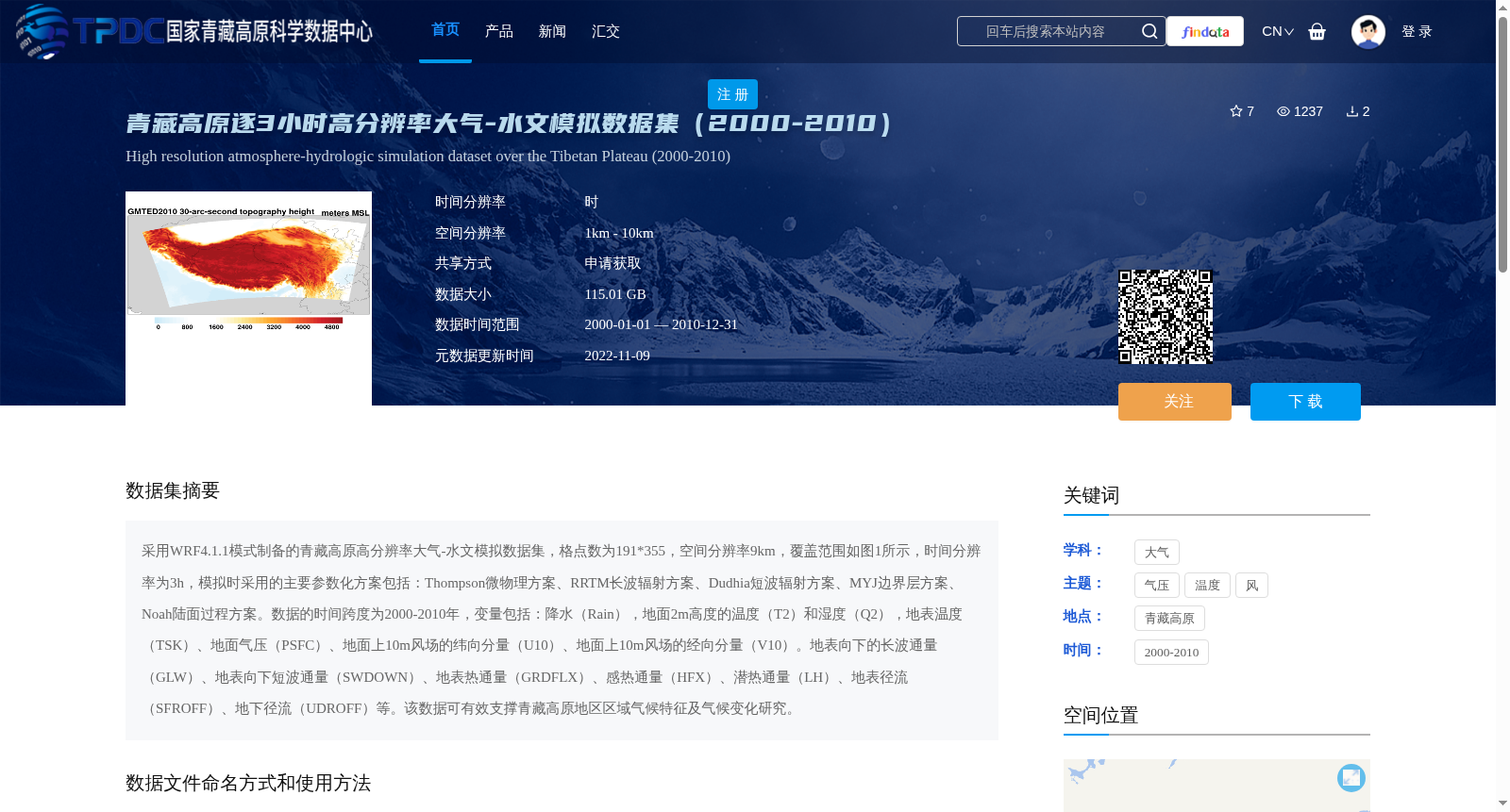
采用WRF4.1.1模式制备的青藏高原高分辨率大气-水文模拟数据集,格点数为191*355,空间分辨率9km,覆盖范围如图1所示,时间分辨率为3h,模拟时采用的主要参数化方案包括:Thompson微物理方案、RRTM长波辐射方案、Dudhia短波辐射方案、MYJ边界层方案、Noah陆面过程方案。数据的时间跨度为2000-2010年,变量包括:降水(Rain),地面2m高度的温度(T2)和湿度(Q2),地表温度(TSK)、地面气压(PSFC)、地面上10m风场的纬向分量(U10)、地面上10m风场的经向分量(V10)。地表向下的长波通量(GLW)、地表向下短波通量(SWDOWN)、地表热通量(GRDFLX)、感热通量(HFX)、潜热通量(LH)、地表径流(SFROFF)、地下径流(UDROFF)等。该数据可有效支撑青藏高原地区区域气候特征及气候变化研究。
A high-resolution atmospheric-hydrological simulation dataset over the Tibetan Plateau developed using the WRF4.1.1 model. The grid size is 191 × 355, with a spatial resolution of 9 km, and its coverage is shown in Figure 1. The temporal resolution is 3 hours. The main parameterization schemes adopted in the simulation include: Thompson microphysics scheme, RRTM longwave radiation scheme, Dudhia shortwave radiation scheme, MYJ planetary boundary layer scheme, and Noah land surface process scheme. The temporal span of the dataset ranges from 2000 to 2010. The included variables are: precipitation (Rain), 2-meter temperature (T2) and specific humidity (Q2) near the ground, surface skin temperature (TSK), surface pressure (PSFC), zonal component of 10-meter wind field (U10), meridional component of 10-meter wind field (V10), downward longwave radiation flux at surface (GLW), downward shortwave radiation flux at surface (SWDOWN), ground heat flux (GRDFLX), sensible heat flux (HFX), latent heat flux (LH), surface runoff (SFROFF), and subsurface runoff (UDROFF). This dataset can effectively support studies on regional climate characteristics and climate change over the Tibetan Plateau.
提供机构:
孟宪红,马媛媛
创建时间:
2022-07-17
搜集汇总
数据集介绍
背景与挑战
背景概述
该数据集是青藏高原地区2000-2010年逐3小时的高分辨率大气-水文模拟数据,空间分辨率9km,包含多种气象和水文变量,适用于区域气候特征及气候变化研究。
以上内容由遇见数据集搜集并总结生成


