黑河生态水文遥感试验:黑河流域土地利用覆被数据集
收藏国家青藏高原科学数据中心2021-04-19 更新2024-03-01 收录
下载链接:
https://data.tpdc.ac.cn/zh-hans/data/6bbf9a3f-e7d8-4255-9ecb-131e1543316d
下载链接
链接失效反馈官方服务:
资源简介:
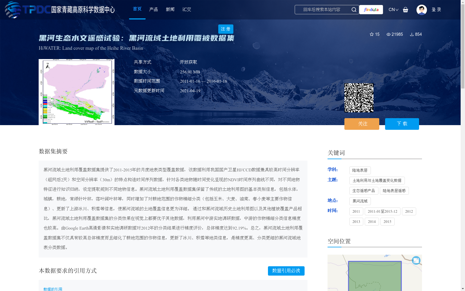
黑河流域土地利用覆盖数据集提供了2011-2015年的月度地表类型覆盖数据,该数据利用我国国产卫星HJ/CCD数据兼具较高时间分辨率(组网后2天)和空间分辨率(30m)的特点构造时间序列数据,针对各类地物随时间变化呈现的NDVI时间序列曲线不同,对不同地物特征进行知识归纳,设定提取规则不同地物信息。黑河流域土地利用覆盖数据集保留了传统的土地利用图的基本类别信息,包括水体,城镇,耕地,常绿针叶林,落叶阔叶林等,同时增加了对耕地范围的作物精细分类(包括玉米、大麦、油菜、春小麦等主要作物信息)、更新了上游冰川、积雪等信息,使黑河流域的土地覆盖信息更为详细。 通过和黑河流域历史土地利用图以及其他植被覆盖产品相比,黑河流域土地利用覆盖数据集的分类效果在视觉上都要优于其他数据,利用黑河中游实地调研数据,中游的作物精细分类信息精度也较高。由Google Earth高清影像和实地调研数据对2012年的分类结果进行精度评价,总体精度达到92.19%。总之,黑河流域土地利用覆盖数据集不仅具有较高总体精度而且细化了耕地范围的作物信息,更新了冰川、积雪等地类信息,是精度更高、分类更细的黑河流域地表分类数据。
The Land Use/Cover Dataset of the Heihe River Basin provides monthly surface cover type data for the period 2011–2015. This dataset constructs time-series datasets by leveraging domestically developed Chinese HJ/CCD satellites, which boast a high temporal resolution of 2 days post-constellation deployment and a high spatial resolution of 30 m. Based on the distinct Normalized Difference Vegetation Index (NDVI) time-series curves exhibited by different land cover types over time, knowledge induction was performed on the characteristics of various land features, and tailored extraction rules were established to extract information for different land cover types. The dataset retains the basic category information from traditional land use maps, including water bodies, urban areas, croplands, evergreen coniferous forests, deciduous broad-leaved forests, and other categories. Meanwhile, it adds fine-grained crop classification for cropland areas (covering major crop information such as maize, barley, rapeseed, spring wheat, etc.) and updates information on glaciers and snow cover in the upstream regions of the basin, thereby enriching the detail of land cover information for the Heihe River Basin. Compared with historical land use maps of the Heihe River Basin and other vegetation cover products, the classification results of this dataset are visually superior to those of other datasets. Using field survey data from the middle reaches of the Heihe River, the fine-grained crop classification information in this region also achieves high accuracy. An accuracy assessment conducted on the 2012 classification results using high-resolution Google Earth imagery and field survey data yielded an overall accuracy of 92.19%. In summary, the Land Use/Cover Dataset of the Heihe River Basin not only boasts a high overall accuracy, but also refines crop information within cropland areas and updates land cover information such as glaciers and snow cover, making it a high-accuracy, finely-classified surface classification dataset for the Heihe River Basin.
提供机构:
仲波,杨爱霞
创建时间:
2016-04-15
搜集汇总
数据集介绍
背景与挑战
背景概述
该数据集是2011-2015年黑河流域的土地利用覆盖数据,具有高时空分辨率,细化了作物分类并更新了冰川、积雪信息,总体分类精度高。
以上内容由遇见数据集搜集并总结生成


