京津风沙源综合治理工程边界数据集
收藏国家生态科学数据中心2024-03-04 收录
下载链接:
http://www.nesdc.org.cn/sdo/detail?id=63627c297e28173e66a72420
下载链接
链接失效反馈官方服务:
资源简介:
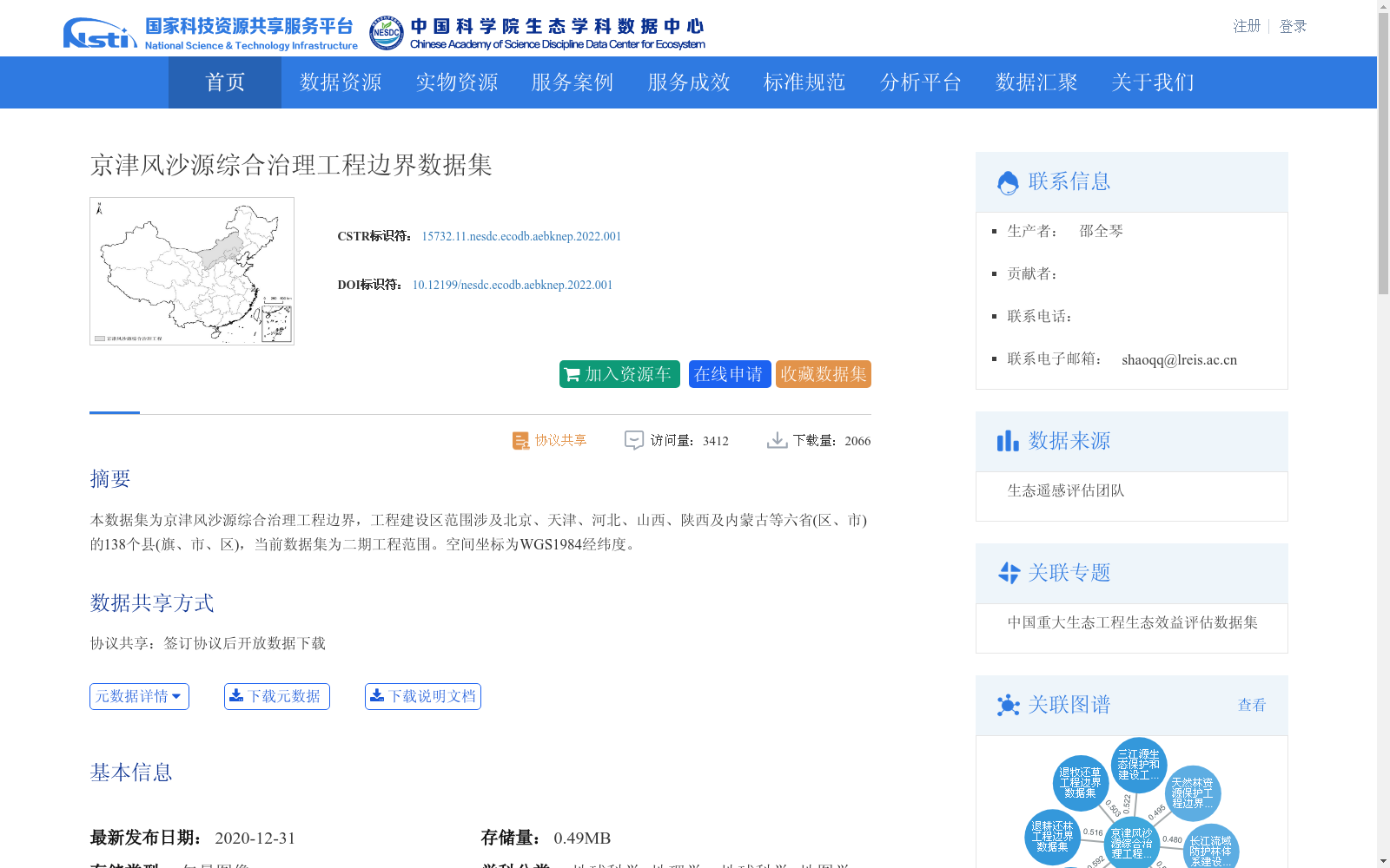
本数据集为京津风沙源综合治理工程边界,工程建设区范围涉及北京、天津、河北、山西、陕西及内蒙古等六省(区、市)的138个县(旗、市、区),当前数据集为二期工程范围。空间坐标为WGS1984经纬度。
This dataset provides the boundary of the Beijing-Tianjin Sandstorm Source Comprehensive Control Project. The construction area of the project covers 138 counties (banners, county-level cities and districts) in six provinces (autonomous regions and municipalities directly under the Central Government), including Beijing, Tianjin, Hebei, Shanxi, Shaanxi and Inner Mongolia. This dataset corresponds to the scope of the second phase of the project, and its spatial coordinates adopt the WGS1984 geographic coordinate system (longitude and latitude).
提供机构:
团队
创建时间:
2020-12-31
搜集汇总
数据集介绍
背景与挑战
背景概述
该数据集提供了京津风沙源综合治理工程二期工程范围的边界数据,覆盖北京、天津等六省(区、市)的138个县(旗、市、区),采用WGS1984坐标系统,适用于地理学和地图学领域的研究。
以上内容由遇见数据集搜集并总结生成


