长江岸线资源与生态多要素时空数据集(1990-2016年)
收藏国家地球系统科学数据中心2025-03-31 更新2024-03-04 收录
下载链接:
https://www.geodata.cn/data/datadetails.html?dataguid=228053479033226&docId=1756
下载链接
链接失效反馈官方服务:
资源简介:
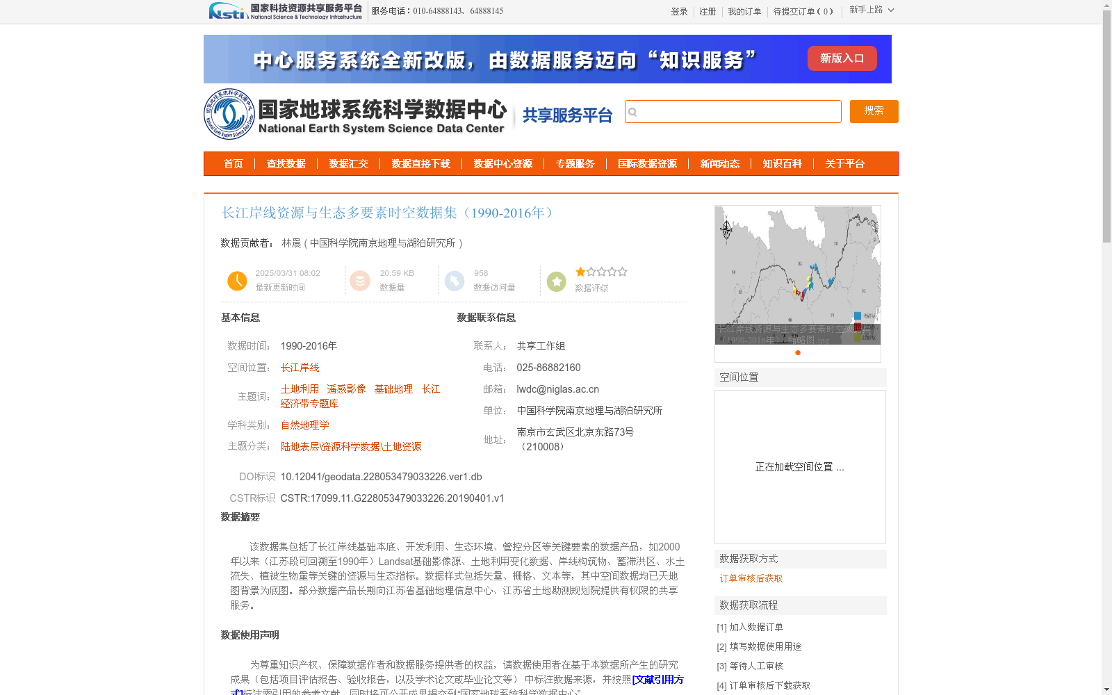
该数据集包括了长江岸线基础本底、开发利用、生态环境、管控分区等关键要素的数据产品,如2000年以来(江苏段可回溯至1990年)Landsat基础影像源、土地利用变化数据、岸线构筑物、蓄滞洪区、水土流失、植被生物量等关键的资源与生态指标。数据样式包括矢量、栅格、文本等,其中空间数据均已天地图背景为底图。部分数据产品长期向江苏省基础地理信息中心、江苏省土地勘测规划院提供有权限的共享服务。
This dataset encompasses data products covering key elements of the Yangtze River shoreline, including basic background information, development and utilization status, ecological environment and management zoning. These products include basic Landsat image sources (traceable to 1990 for the Jiangsu section, and available since 2000 for other reaches), land use change data, shoreline structures, flood storage and detention basins, soil and water loss, vegetation biomass and other critical resource and ecological indicators. The data are provided in multiple formats including vector, raster, text, etc., with all spatial data using the Tianditu map as the base map. Some of these data products have long offered authorized sharing services to the Jiangsu Provincial Basic Geomatics Center and Jiangsu Provincial Land Survey and Planning Institute.
提供机构:
中国科学院南京地理与湖泊研究所
创建时间:
2019-04-01
搜集汇总
数据集介绍
背景与挑战
背景概述
该数据集是一个覆盖1990年至2016年长江岸线区域的资源与生态多要素时空数据集,包含基础本底、开发利用、生态环境和管控分区等关键要素,如Landsat影像、土地利用变化、岸线构筑物和水土流失等指标。数据通过卫星遥感、模型模拟和野外采样等多源手段加工,以矢量、栅格和文本格式提供,空间数据基于天地图背景,适用于自然地理学和资源科学研究。
以上内容由遇见数据集搜集并总结生成


