拉萨河流域大田耕地土壤环境数据集(2019)
收藏国家青藏高原科学数据中心2025-04-14 更新2025-04-19 收录
下载链接:
https://data.tpdc.ac.cn/zh-hans/data/dec2e026-326e-424f-973c-253d91549ae2
下载链接
链接失效反馈官方服务:
资源简介:
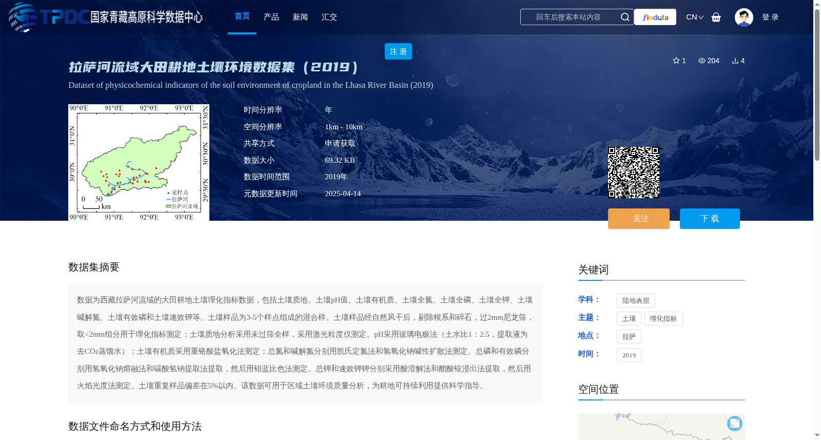
数据为西藏拉萨河流域的大田耕地土壤理化指标数据,包括土壤质地、土壤pH值、土壤有机质、土壤全氮、土壤全磷、土壤全钾、土壤碱解氮、土壤有效磷和土壤速效钾等。土壤样品为3-5个样点组成的混合样。土壤样品经自然风干后,剔除根系和碎石,过2mm尼龙筛,取<2mm组分用于理化指标测定;土壤质地分析采用未过筛全样,采用激光粒度仪测定。pH采用玻璃电极法(土水比1:2.5,提取液为去CO₂蒸馏水);土壤有机质采用重铬酸盐氧化法测定;总氮和碱解氮分别用凯氏定氮法和氢氧化钠碱性扩散法测定。总磷和有效磷分别用氢氧化钠熔融法和碳酸氢钠提取法提取,然后用钼蓝比色法测定。总钾和速效钾钾分别采用酸溶解法和醋酸铵浸出法提取,然后用火焰光度法测定。土壤重复样品偏差在5%以内。该数据可用于区域土壤环境质量分析,为耕地可持续利用提供科学指导。
The dataset consists of soil physicochemical index data from field cultivated land in the Lhasa River Basin, Tibet, China, including indicators such as soil texture, soil pH, soil organic matter, total nitrogen, total phosphorus, total potassium, alkali-hydrolyzable nitrogen, available phosphorus, and available potassium. Soil samples are composite samples composed of 3 to 5 sampling points. Soil samples were naturally air-dried, followed by removal of roots and gravel, and passed through a 2 mm nylon sieve; the <2 mm fraction was taken for physicochemical index determination. For soil texture analysis, the unsieved whole sample was used and measured with a laser particle size analyzer. Soil pH was determined using the glass electrode method (soil-to-water ratio 1:2.5, with CO₂-free distilled water as the extractant); soil organic matter was determined via the dichromate oxidation method. Total nitrogen and alkali-hydrolyzable nitrogen were determined using the Kjeldahl method and sodium hydroxide alkaline diffusion method, respectively. Total phosphorus and available phosphorus were extracted using the sodium hydroxide fusion method and sodium bicarbonate extraction method, respectively, and then determined via the molybdenum blue colorimetric method. Total potassium and available potassium were extracted using the acid dissolution method and ammonium acetate leaching method, respectively, and then determined via flame photometry. The deviation of duplicate soil samples was within 5%. This dataset can be used for regional soil environmental quality analysis, providing scientific guidance for the sustainable utilization of cultivated land.
提供机构:
王兆锋
创建时间:
2025-01-18
搜集汇总
数据集介绍
背景与挑战
背景概述
该数据集提供了2019年西藏拉萨河流域大田耕地的土壤环境理化指标数据,包括土壤质地、pH值、有机质、全氮、全磷、全钾、碱解氮、有效磷和速效钾等关键参数,采样方法为3-5个样点混合样,并采用标准测定方法确保数据精度(偏差在5%以内)。数据可用于区域土壤环境质量分析和耕地可持续利用的科学指导,空间分辨率约为1-10公里,覆盖东经90°至93.5°、北纬29.4°至31.4°范围。
以上内容由遇见数据集搜集并总结生成


