武汉市潜在淹没区不透水面数据集(2010)
收藏国家地球系统科学数据中心2020-08-21 更新2024-03-04 收录
下载链接:
https://www.geodata.cn/data/datadetails.html?dataguid=6080921&docId=12175
下载链接
链接失效反馈官方服务:
资源简介:
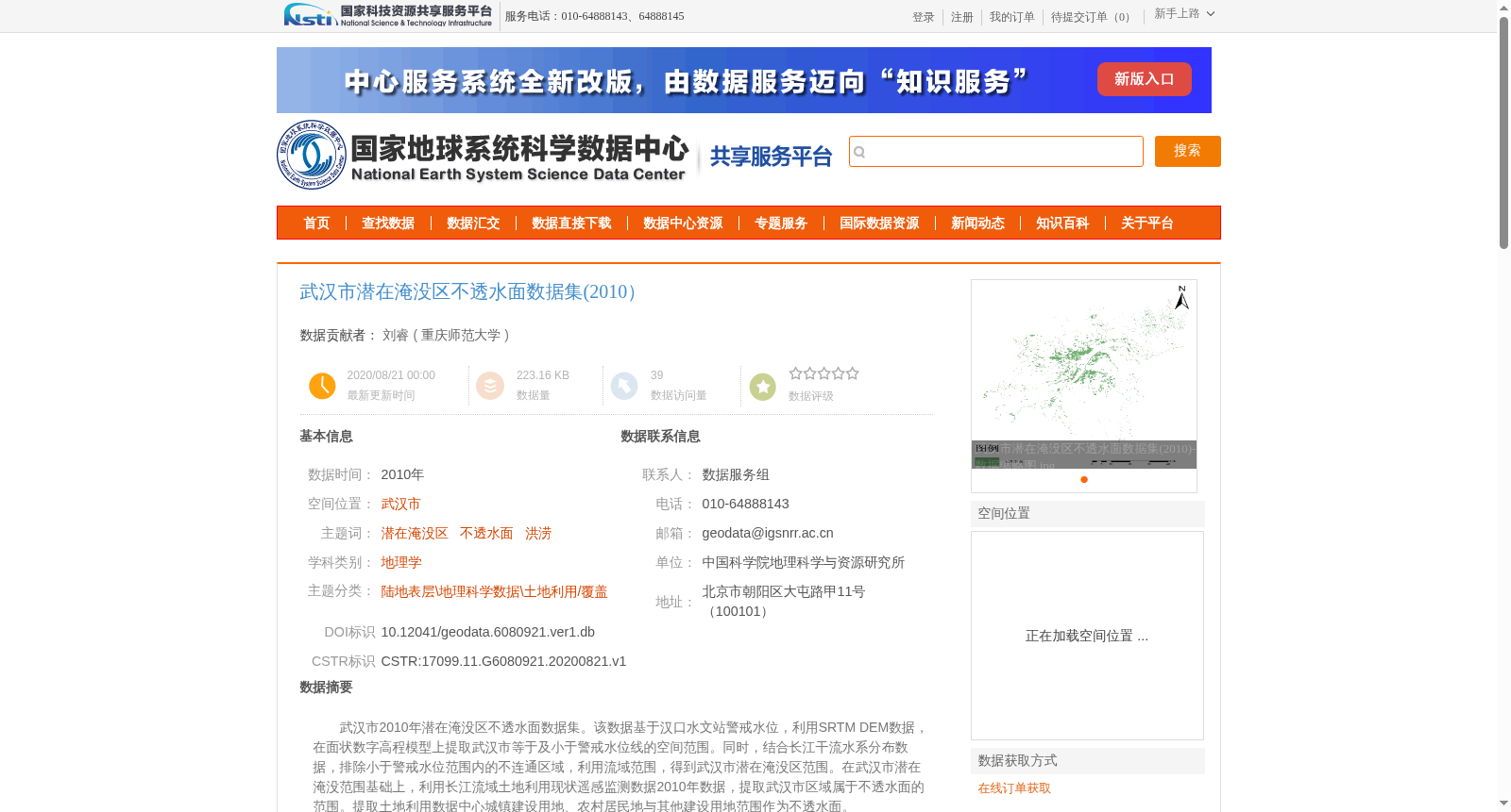
武汉市2010年潜在淹没区不透水面数据集。该数据基于汉口水文站警戒水位,利用SRTM DEM数据,在面状数字高程模型上提取武汉市等于及小于警戒水位线的空间范围。同时,结合长江干流水系分布数据,排除小于警戒水位范围内的不连通区域,利用流域范围,得到武汉市潜在淹没区范围。在武汉市潜在淹没范围基础上,利用长江流域土地利用现状遥感监测数据2010年数据,提取武汉市区域属于不透水面的范围。提取土地利用数据中心城镇建设用地、农村居民地与其他建设用地范围作为不透水面。
Impervious Surface Dataset of Potential Flooded Areas in Wuhan (2010). This dataset is developed based on the warning water level of Hankou Hydrological Station. First, SRTM DEM data is used to extract the spatial extent of areas in Wuhan with elevation equal to or lower than the warning water level on the planar digital elevation model. Then, combined with the distribution data of the Yangtze River main stream water system, disconnected regions within the extracted area that lack hydrological connectivity are excluded, and the final potential flooded area extent of Wuhan is determined using the watershed boundary. Based on the obtained potential flooded area extent of Wuhan, the impervious surface area within this region is extracted using the 2010 remote sensing monitoring data of current land use status in the Yangtze River Basin. Specifically, the impervious surfaces refer to the areas of urban construction land, rural residential areas and other construction land in the land use data.
提供机构:
重庆师范大学
创建时间:
2020-08-21
搜集汇总
数据集介绍
背景与挑战
背景概述
该数据集提供了武汉市2010年潜在淹没区不透水面的空间分布信息,基于水文警戒水位和土地利用数据生成,适用于洪涝风险研究和城市规划等领域。
以上内容由遇见数据集搜集并总结生成


