太湖流域乡镇界线数据集(2005-2021年)
收藏国家地球系统科学数据中心2024-09-05 更新2024-03-04 收录
下载链接:
https://www.geodata.cn/data/datadetails.html?dataguid=228204331953067&docId=2630
下载链接
链接失效反馈官方服务:
资源简介:
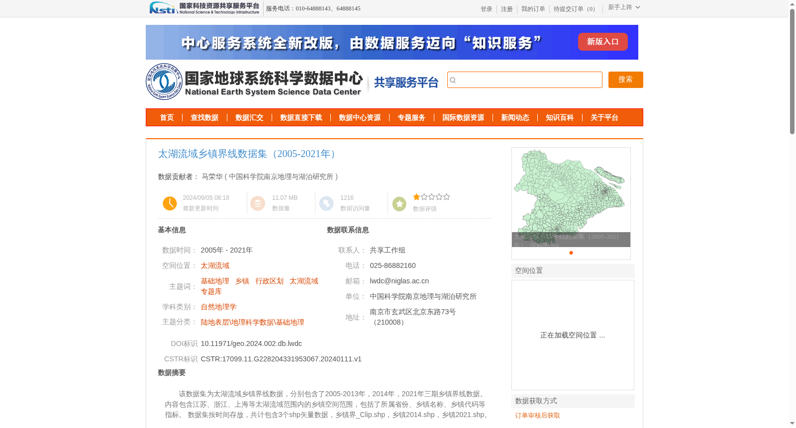
该数据集为太湖流域乡镇界线数据,分别包含了2005-2013年,2014年,2021年三期乡镇界线数据。内容包含江苏、浙江、上海等太湖流域范围内的乡镇空间范围,包括了所属省份、乡镇名称、乡镇代码等指标。
数据集按时间存放,共计包含3个shp矢量数据,乡镇界_Clip.shp,乡镇2014.shp,乡镇2021.shp。
This dataset contains township boundary geospatial data for the Taihu Lake Basin, with three temporal phases covering 2005–2013, 2014, and 2021 respectively. It covers the spatial extents of townships within the Taihu Lake Basin spanning Jiangsu Province, Zhejiang Province, Shanghai Municipality and other relevant areas, with attribute information including affiliated province, township name, and township code. The dataset is organized by time periods, and includes a total of 3 shapefile (.shp) vector files: 乡镇界_Clip.shp, 乡镇2014.shp, and 乡镇2021.shp.
提供机构:
中国科学院南京地理与湖泊研究所
创建时间:
2024-01-11
搜集汇总
数据集介绍
背景与挑战
背景概述
太湖流域乡镇界线数据集(2005-2021年)是一个覆盖江苏、浙江、上海等太湖流域地区的乡镇行政区划矢量数据集,包含2005-2013年、2014年和2021年三期数据,提供乡镇空间范围、名称和代码等关键指标。数据由中国科学院南京地理与湖泊研究所权威贡献,质量优良可靠,适用于地理科学和行政区划分析,但需通过订单审核获取。
以上内容由遇见数据集搜集并总结生成


