FlowCAMNet : plankton images captured with the FlowCAM
收藏DataCite Commons2025-05-08 更新2025-04-16 收录
下载链接:
https://www.seanoe.org/data/00908/101961/
下载链接
链接失效反馈官方服务:
资源简介:
Plankton was imaged with Flowcam in contrasted oceanic regions. The full images were processed with the ImageJ software and the regions of interest (ROIs) around each individual object were recorded. A set of associated features were measured on the objects. All objects were classified by a limited number of operators into 167 different classes using the web application EcoTaxa (http://ecotaxa.obs-vlfr.fr). The following dataset corresponds to the 301, 247 objects and their calculated features. The different files provide information about the features of the objects, their taxonomic identification as well as the raw images.
The archive contains :
taxa.csv.gz
Table of the classification of each object in the dataset, with columns :
- objid: unique object identifier in EcoTaxa (integer number).
- taxon_level1: taxonomic name corresponding to the level 1 classification
- lineage_level1: taxonomic lineage corresponding to the level 1 classification
- taxon_level2: name of the taxon corresponding to the level 2 classification
- plankton: indicates if the object is a plankton (boolean)
- set: class of the image corresponding to the taxon (train : training, val : validation, or test)
- img_path: local path of the image corresponding to the taxon (of level 1), named according to the object id
features_native.csv.gz
- objid: unique object identifier in EcoTaxa (integer number) And 47 features:
- area
- mean
- stddev
- mode
- min/max
- perim
- width
- height
- major
- minor
- angle
- circ
- feret
- intden
- median
- skew
- kurt
- %area
- area_exc
- fractal
- skelarea
- slope
- histcum1, 2, 3
- nb1 nb2 nb3
- symetrieh/symetriev
- symetriehc/symetrievc
- convperim/convarea
- fcons
- thickr
- esd
- elongation
- range
- meanpos
- cv
- sr
- perimferet/perimmajor
- circex
See the “FlowCam_bw_before_2023” sheet - OBJECT metadata, annotation and measurements - , at https://doi.org/10.5281/zenodo.14704250 for definitions.
features_skimage.csv.gz
Table of morphological features recomputed with skimage.measure.regionprops on the ROIs produced by ZooCAM. See http://scikit-image.org/docs/dev/api/skimage.measure.html#skimage.measure.regionprops for documentation.
inventory.tsv
Tree view of the taxonomy and number of images in each taxon, displayed as text. With columns :
- lineage_level1: taxonomic lineage corresponding to the level 1 classification
- taxon_level1: name of the taxon corresponding to the level 1 classification
- n: number of objects in each taxon group
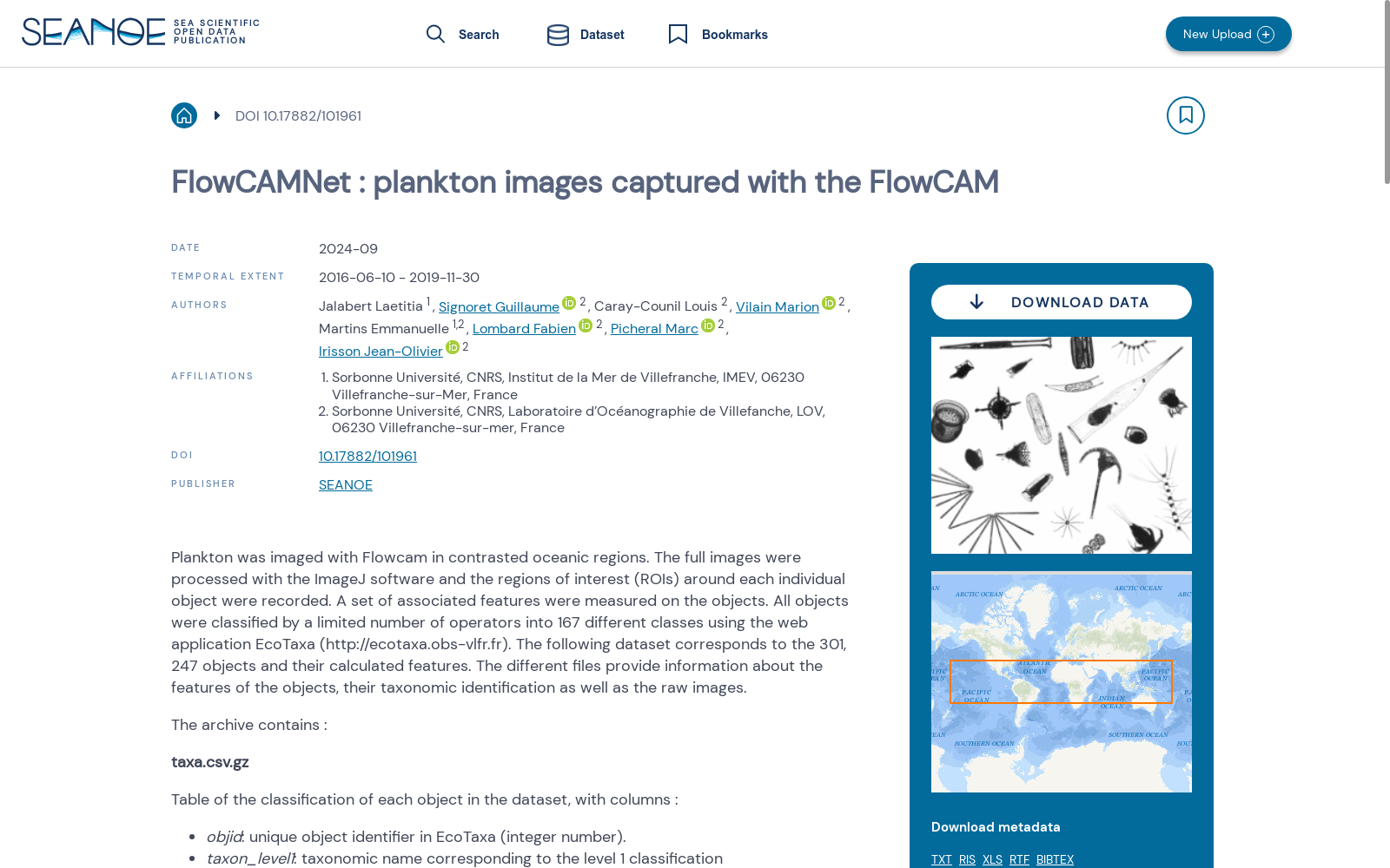
map.png
Map of the sampling locations, to give an idea of the diversity sampled in this dataset.
imgs
Directory containing images of each object, named according to the object id objid and sorted in subdirectories according to their taxon.
本数据集的浮游生物(plankton)在对比度增强的海洋区域中通过Flowcam完成成像。原始完整图像经ImageJ软件处理,并记录下每个目标物体周围的感兴趣区域(Regions of Interest,ROI)。随后针对各目标物体提取了一系列关联特征。所有物体由有限数量的操作人员通过Web应用EcoTaxa(http://ecotaxa.obs-vlfr.fr)划分为167个不同类别。本数据集共包含301247个目标物体及其计算得到的特征参数。不同文件分别提供了目标物体的特征信息、分类学鉴定结果以及原始图像。
该压缩包包含以下文件与目录:
1. taxa.csv.gz
数据集内每个目标物体的分类表,各字段说明如下:
- objid:EcoTaxa平台内的唯一目标物体标识符(整数类型)
- taxon_level1:对应一级分类的分类单元名称
- lineage_level1:对应一级分类的分类学谱系
- taxon_level2:对应二级分类的分类单元名称
- plankton:标识该物体是否为浮游生物(布尔类型)
- set:对应分类的图像集类别(train:训练集,val:验证集,test:测试集)
- img_path:对应一级分类单元的图像本地路径,图像以目标物体ID命名
2. features_native.csv.gz
包含objid字段(EcoTaxa平台内的唯一目标物体标识符,整数类型)以及47项特征,具体包括:面积(area)、均值(mean)、标准差(stddev)、众数(mode)、最小值/最大值(min/max)、周长(perim)、宽度(width)、高度(height)、长轴(major)、短轴(minor)、角度(angle)、圆形度(circ)、费雷特直径(feret)、积分光密度(intden)、中位数(median)、偏度(skew)、峰度(kurt)、面积占比(%area)、外接面积(area_exc)、分形维数(fractal)、骨架面积(skelarea)、斜率(slope)、累积直方图1/2/3(histcum1, 2, 3)、直方图区间计数1/2/3(nb1, nb2, nb3)、水平/垂直对称性(symetrieh/symetriev)、中心水平/中心垂直对称性(symetriehc/symetrievc)、凸周长/凸面积(convperim/convarea)、紧致度(fcons)、厚度(thickr)、等效球直径(esd)、伸长率(elongation)、极差(range)、平均位置(meanpos)、变异系数(cv)、形状比(sr)、费雷特周长/主周长(perimferet/perimmajor)、修正圆形度(circex)。
各特征的详细定义请参考https://doi.org/10.5281/zenodo.14704250中「FlowCam_bw_before_2023」工作表的「OBJECT metadata, annotation and measurements」部分。
3. features_skimage.csv.gz
包含通过scikit-image(简称skimage)的measure.regionprops工具对ZooCAM生成的ROIs重新计算得到的形态学特征。相关文档请参考http://scikit-image.org/docs/dev/api/skimage.measure.html#skimage.measure.regionprops。
4. inventory.tsv
分类学谱系与各分类单元内图像数量的树形视图,以文本形式呈现,各字段说明如下:
- lineage_level1:对应一级分类的分类学谱系
- taxon_level1:对应一级分类的分类单元名称
- n:各分类单元组内的目标物体数量
5. map.png
采样位置分布图,用于直观展示本数据集所覆盖的采样多样性。
6. imgs
存储各目标物体图像的目录,图像以目标物体ID(objid)命名,并按照其所属分类单元划分至不同子目录中。
提供机构:
SEANOE
创建时间:
2024-09-24
搜集汇总
数据集介绍
背景与挑战
背景概述
FlowCAMNet是一个浮游生物图像数据集,包含2016年至2019年间使用FlowCAM设备在多个海洋区域采集的301,247个对象图像,每个对象被分类为167个类别,并附带形态特征数据。该数据集适用于生物海洋学研究,提供分类表、特征文件和原始图像,支持浮游生物自动识别和分析任务。
以上内容由遇见数据集搜集并总结生成


