
UAV Pathplanning Dataset & Benchmark
收藏DataCite Commons2022-06-30 更新2024-07-13 收录
下载链接:
https://repository.kaust.edu.sa/handle/10754/630159
下载链接
链接失效反馈官方服务:
资源简介:
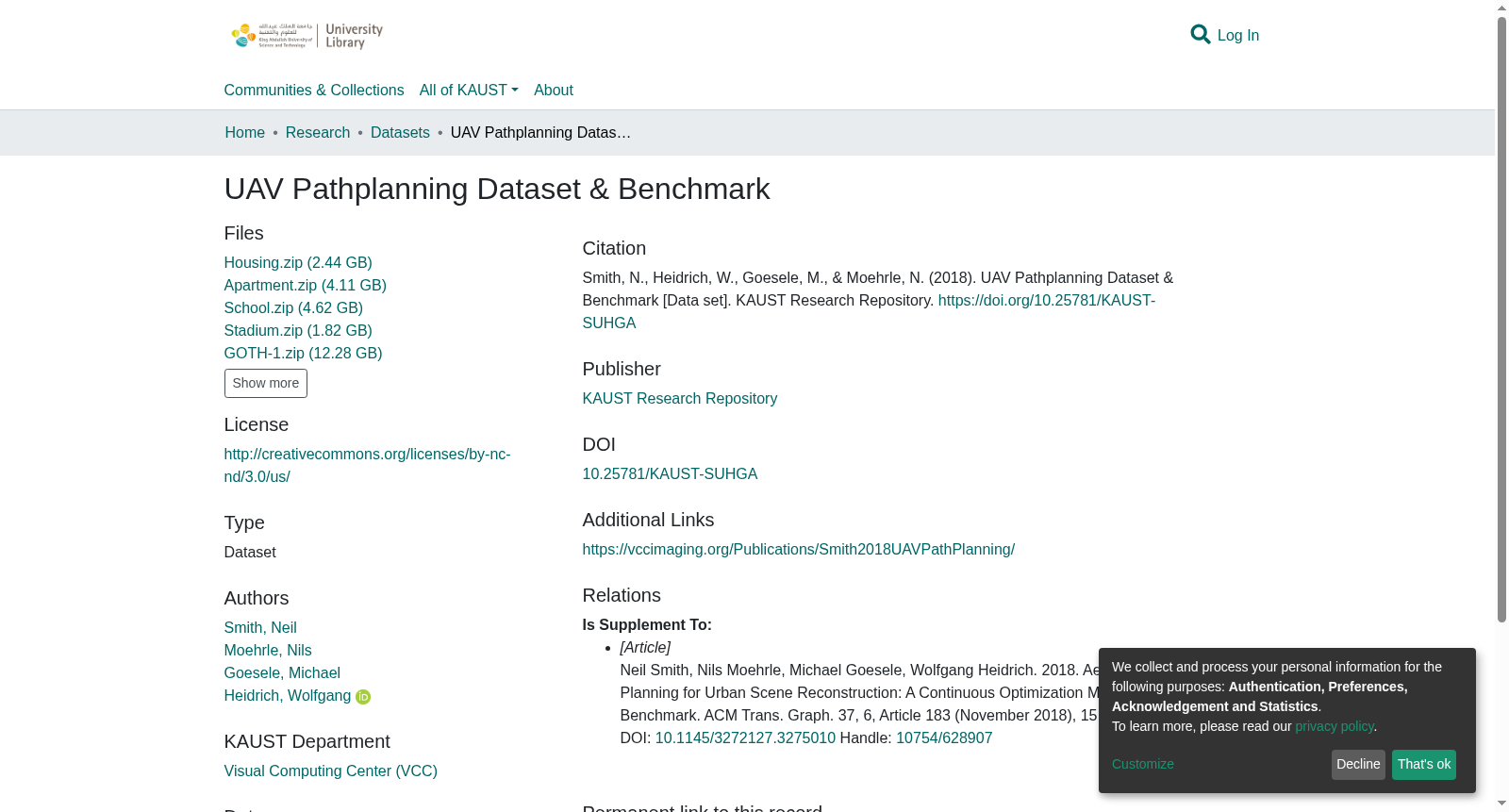
This dataset consists of trajectories, proxy meshes and images generated for pathplanning on real and synthetic scenes. It includes a benchmarking tool allowing new trajectories to output camera images for reconstruction. The tool also allows error and completleness comparison with the groundtruth models and reconstructions
本数据集包含针对真实场景与合成场景的路径规划任务生成的轨迹、代理网格(proxy meshes)与图像。数据集配套一款基准测试工具,可基于新生成的轨迹输出用于重建任务的相机图像;该工具还支持与真值模型(groundtruth models)及重建结果进行误差与完整性对比。
提供机构:
KAUST Research Repository
创建时间:
2018-11-29
搜集汇总
数据集介绍
背景与挑战
背景概述
该数据集是KAUST发布的无人机路径规划研究数据集,包含多个场景的高容量数据文件(总大小约25GB),主要用于支持城市场景重建的连续优化方法研究,并附带相关学术论文作为补充说明。
以上内容由遇见数据集搜集并总结生成



