SEN12-FLOOD
收藏DataCite Commons2024-11-22 更新2025-04-16 收录
下载链接:
https://ieee-dataport.org/open-access/sen12-flood
下载链接
链接失效反馈官方服务:
资源简介:
These last decades, Earth Observation brought quantities of new perspectives from geosciences to human activity monitoring. As more data became available, Artificial Intelligence (AI) techniques led to very successful results for understanding remote sensing data. Moreover, various acquisition techniques such as Synthetic Aperture Radar (SAR) can also be used for problems that could not be tackled only through optical images. This is the case for weather-related disasters such as floods or hurricanes, which are generally associated with large clouds cover. Yet, machine learning on SAR data is still considered challenging due to the lack of available labeled data. This dataset is composed of co-registered optical and SAR images time series for the detection of flood events. It is then to help to close the gap between optical and SAR remote sensing images for the use of machine learning algorithms.
近数十年来,地球观测(Earth Observation)为地球科学研究与人类活动监测带来了海量全新观测视角。随着可获取的遥感数据(remote sensing data)量持续增长,人工智能(Artificial Intelligence,AI)技术在遥感数据解析与理解方面已取得卓越成效。此外,诸如合成孔径雷达(Synthetic Aperture Radar,SAR)在内的多种遥感采集技术,可攻克仅依靠光学影像(optical images)无法解决的难题。以洪涝、飓风这类气象灾害为例,此类灾害通常伴随大范围云量遮蔽,仅靠光学影像难以实现有效监测。但由于可用标注数据(labeled data)稀缺,基于SAR数据开展机器学习研究仍面临诸多挑战。本数据集由用于洪涝事件检测的经过配准的光学与SAR影像时间序列构成,旨在填补光学与SAR遥感影像在机器学习算法应用中的适配空白。
提供机构:
IEEE DataPort
创建时间:
2020-09-14
搜集汇总
数据集介绍
背景与挑战
背景概述
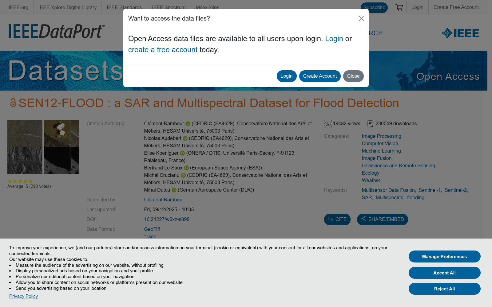
SEN12-FLOOD是一个包含336个时间序列的遥感数据集,用于洪水检测,覆盖非洲、中东和澳大利亚等地区。数据集提供Sentinel-1的SAR图像(VV和VH极化通道)和Sentinel-2的多光谱图像(12个波段),并包含洪水标签和数据覆盖范围的信息。
以上内容由遇见数据集搜集并总结生成


