陕西省50米分辨率坡度图(2010年)
收藏国家地球系统科学数据中心2020-06-08 更新2024-03-04 收录
下载链接:
https://www.geodata.cn/data/datadetails.html?dataguid=151056414488598&docId=13169
下载链接
链接失效反馈官方服务:
资源简介:
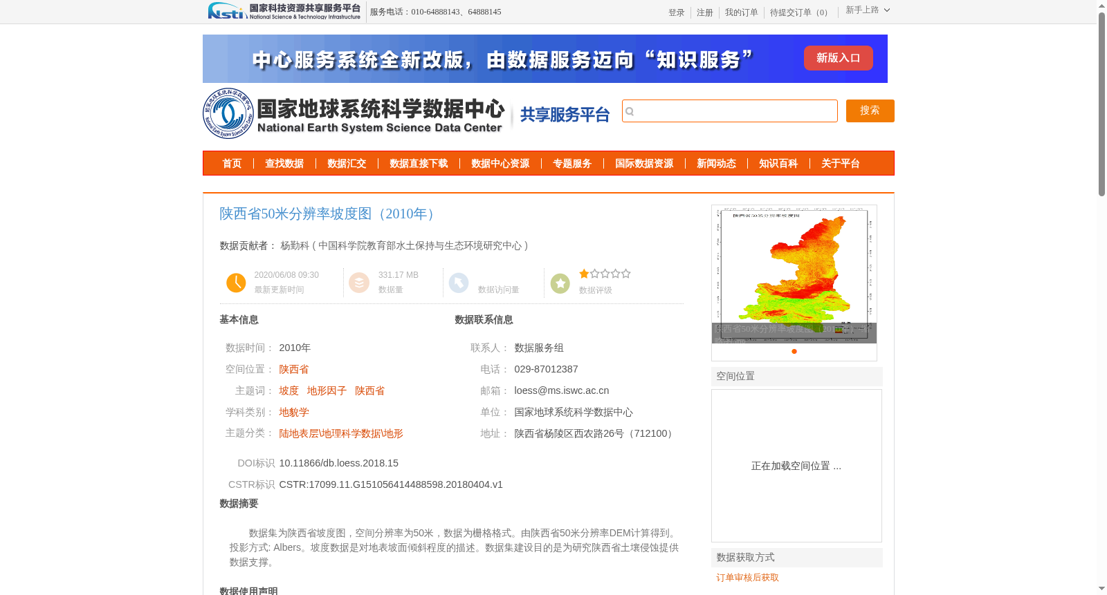
数据集为陕西省坡度图,空间分辨率为50米,数据为栅格格式。由陕西省50米分辨率DEM计算得到。 投影方式: Albers。坡度数据是对地表坡面倾斜程度的描述。数据集建设目的是为研究陕西省土壤侵蚀提供数据支撑。
This dataset is a slope map of Shaanxi Province, with a spatial resolution of 50 meters and stored in raster format. It is derived from the 50-meter resolution DEM of Shaanxi Province. Projection: Albers. Slope data characterizes the inclination angle of the ground surface slope. This dataset is developed to provide data support for studies on soil erosion in Shaanxi Province.
提供机构:
中国科学院教育部水土保持与生态环境研究中心
创建时间:
2018-04-04
搜集汇总
数据集介绍
背景与挑战
背景概述
该数据集是2010年陕西省50米分辨率的坡度栅格图,基于DEM数据计算生成,采用Albers投影,主要用于土壤侵蚀研究,数据量为331.17MB。
以上内容由遇见数据集搜集并总结生成


