2021–2022年鄱阳湖丰水期水体富营养化指标空间分布数据集
收藏国家生态科学数据中心2024-04-21 收录
下载链接:
http://www.nesdc.org.cn/sdo/detail?id=65fbfc347e2817056f4a08f6
下载链接
链接失效反馈官方服务:
资源简介:
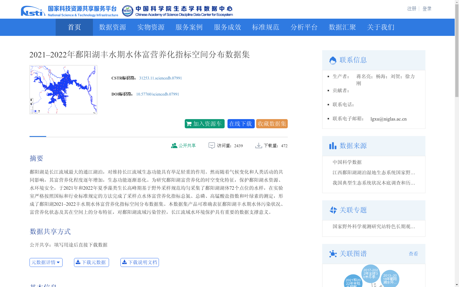
鄱阳湖是长江流域最大的通江湖泊,对维持长江流域生态功能具有举足轻重的作用。然而随着气候变化和人类活动的共同影响,其富营养化程度逐年增加,生态功能逐渐恶化。为研究鄱阳湖富营养化的时空变化特征,保护鄱阳湖水资源、水环境安全,于2021年和2022年夏季藻类生长高峰期基于野外采样规范均匀采集了鄱阳湖湖体72个点位的水样,在实验室严格按照国标和行业标准规定的方法完成了采样点水体富营养化指标总氮、总磷、高锰酸盐指数和叶绿素的测定,形成了鄱阳湖2021–2022丰水期水体富营养化指标空间分布数据集。本数据集产品可准确表征鄱阳湖丰水期水体污染状况、富营养化状态及其在空间上的分布特征,对鄱阳湖流域污染管控,长江流域水环境保护具有重要的数据支撑意义。
Poyang Lake is the largest river-connected lake in the Yangtze River Basin, playing a pivotal role in maintaining the ecological functions of the basin. However, under the combined impacts of climate change and human activities, its eutrophication level has been increasing year by year, and its ecological functions have gradually deteriorated. To explore the spatiotemporal variation characteristics of eutrophication in Poyang Lake and safeguard the safety of its water resources and aquatic environment, water samples were systematically and uniformly collected at 72 sampling sites across the lake during the algal growth peak seasons of summers in 2021 and 2022 following the field sampling specifications. Subsequently, the eutrophication indicators including total nitrogen (TN), total phosphorus (TP), permanganate index, and chlorophyll-a of the water samples were determined in the laboratory strictly in accordance with national and industrial standard methods, thereby establishing the Spatial Distribution Dataset of Water Eutrophication Indicators for Poyang Lake during the Wet Seasons of 2021–2022. This dataset product can accurately characterize the water pollution status, eutrophication state and their spatial distribution patterns of Poyang Lake during the wet seasons, providing important data support for pollution control in the Poyang Lake Basin and aquatic environmental protection in the Yangtze River Basin.
创建时间:
2023-05-08
搜集汇总
数据集介绍
背景与挑战
背景概述
该数据集聚焦于2021年至2022年鄱阳湖丰水期水体富营养化指标的空间分布,基于夏季在72个点位的实地采样,测定了总氮、总磷、高锰酸盐指数和叶绿素等关键指标。其特点是覆盖两年时间序列,以电子表格形式提供,旨在准确表征鄱阳湖水体污染和富营养化状态的空间特征,为流域污染管控和长江水环境保护提供重要数据支撑。
以上内容由遇见数据集搜集并总结生成


