漓江流域长时序年度地表水体分布数据集
收藏地球大数据科学工程2024-03-04 收录
下载链接:
https://data.casearth.cn/sdo/detail/65260539819aec0c3a43b25d
下载链接
链接失效反馈资源简介:
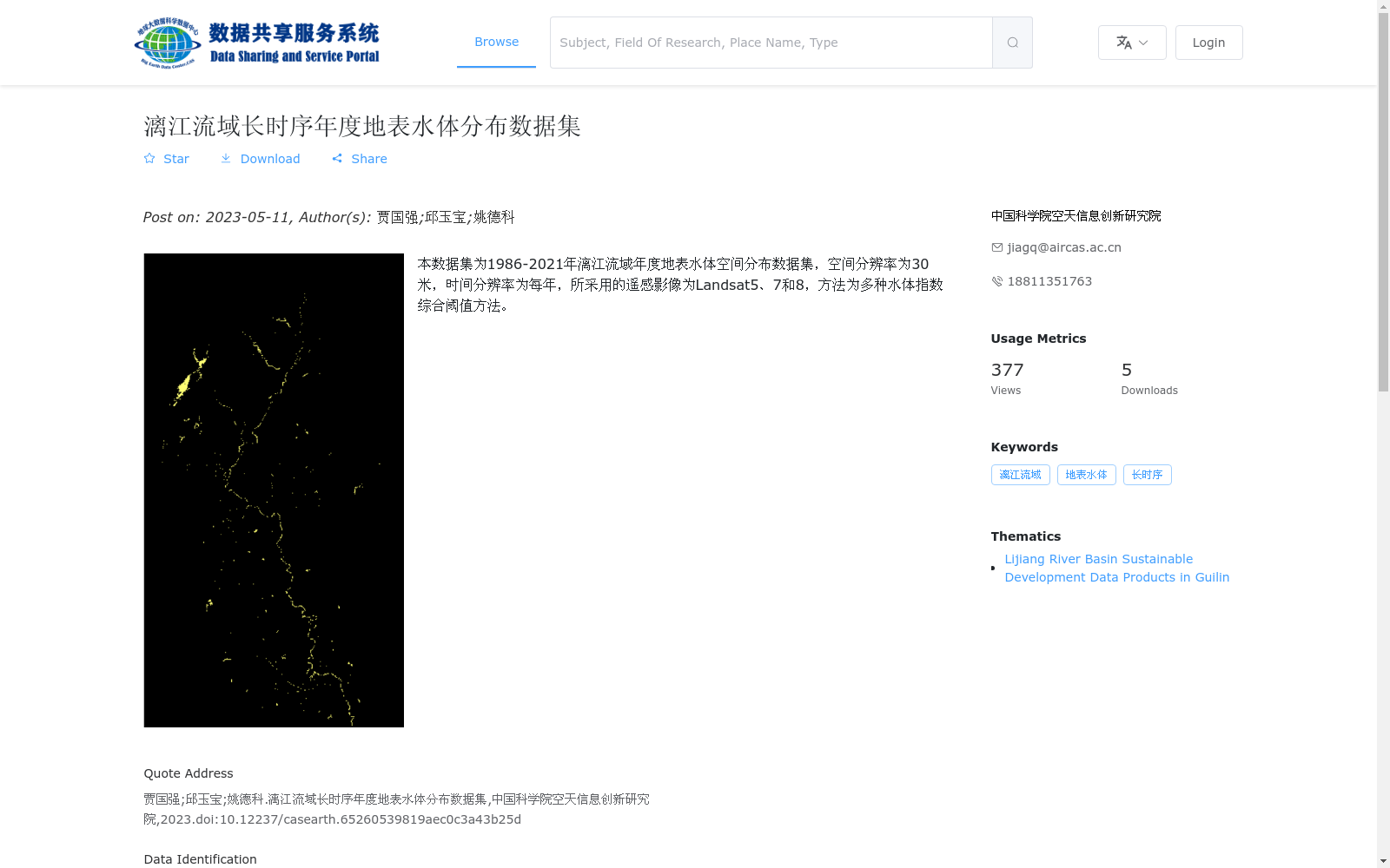
本数据集为1986-2021年漓江流域年度地表水体空间分布数据集,空间分辨率为30米,时间分辨率为每年,所采用的遥感影像为Landsat5、7和8,方法为多种水体指数综合阈值方法。
This dataset is an annual spatial distribution dataset of surface water bodies in the Lijiang River Basin covering the period from 1986 to 2021. It has a spatial resolution of 30 meters and a temporal resolution of one year. Remote sensing imagery from Landsat 5, 7 and 8 was utilized, and a comprehensive threshold method integrating multiple water body indices was employed for dataset generation.
提供机构:
中国科学院空天信息创新研究院
AI搜集汇总
数据集介绍
背景与挑战
背景概述
该数据集提供了1986年至2021年漓江流域的年度地表水体空间分布数据,空间分辨率为30米,基于Landsat5、7和8遥感影像,采用多种水体指数综合阈值方法生成。数据集具有长时间序列和高空间分辨率的特点,适用于漓江流域的水体动态监测和变化分析研究。
以上内容由AI搜集并总结生成


