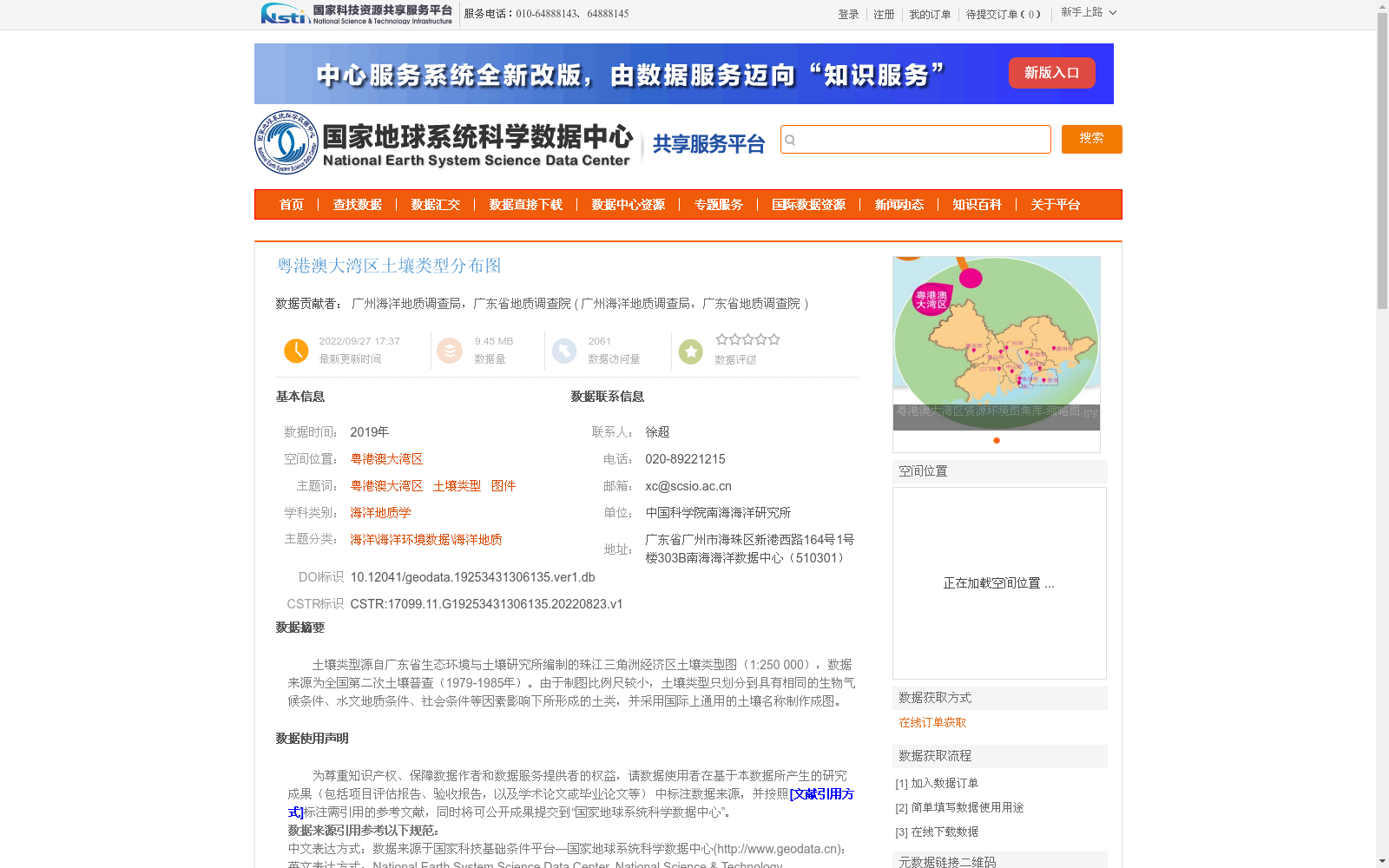
粤港澳大湾区土壤类型分布图
收藏国家地球系统科学数据中心2022-09-27 更新2024-03-04 收录
下载链接:
https://www.geodata.cn/data/datadetails.html?dataguid=19253431306135&docId=7130
下载链接
链接失效反馈官方服务:
资源简介:
土壤类型源自广东省生态环境与土壤研究所编制的珠江三角洲经济区土壤类型图(1:250 000),数据来源为全国第二次土壤普查(1979-1985年)。由于制图比例尺较小,土壤类型只划分到具有相同的生物气候条件、水文地质条件、社会条件等因素影响下所形成的土类,并采用国际上通用的土壤名称制作成图。
Soil type data is derived from the 1:250,000 Soil Type Map of the Pearl River Delta Economic Zone compiled by the Guangdong Institute of Eco-Environmental and Soil Sciences. The data source is the Second National Soil Survey conducted between 1979 and 1985. Due to the small cartographic scale, the soil types are only classified at the soil group level formed under the influence of identical bioclimatic, hydrogeological, social and other relevant factors, and the map was produced using internationally standardized soil nomenclature.
提供机构:
广州海洋地质调查局,广东省地质调查院
创建时间:
2022-08-23
搜集汇总
数据集介绍
背景与挑战
背景概述
该数据集为2019年粤港澳大湾区土壤类型分布图,数据量9.45 MB,基于全国第二次土壤普查(1979-1985年)成果编制,源自珠江三角洲经济区1:250,000比例尺土壤类型图。其特点在于制图比例尺较小,土壤类型仅划分到土类级别,并采用国际通用土壤名称,适用于海洋地质学和环境研究领域,数据质量可靠。
以上内容由遇见数据集搜集并总结生成


