示范区无人机遥感影像及模型产品数据集(2019-2021)
收藏国家青藏高原科学数据中心2022-03-08 更新2024-03-01 收录
下载链接:
https://data.tpdc.ac.cn/zh-hans/data/243336a5-2994-4519-b43a-b5976dc66d55
下载链接
链接失效反馈官方服务:
资源简介:
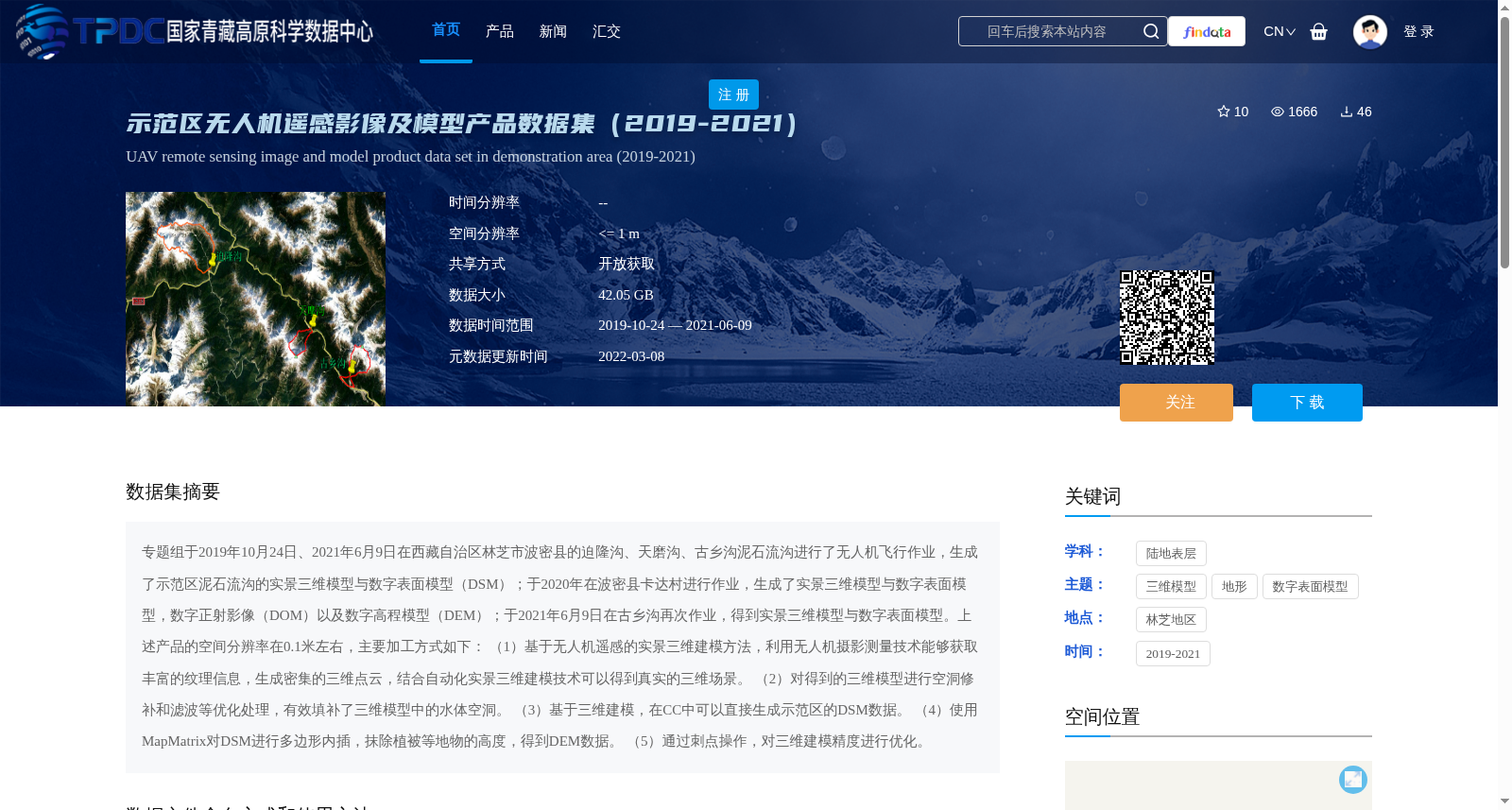
专题组于2019年10月24日、2021年6月9日在西藏自治区林芝市波密县的迫隆沟、天磨沟、古乡沟泥石流沟进行了无人机飞行作业,生成了示范区泥石流沟的实景三维模型与数字表面模型(DSM);于2020年在波密县卡达村进行作业,生成了实景三维模型与数字表面模型,数字正射影像(DOM)以及数字高程模型(DEM);于2021年6月9日在古乡沟再次作业,得到实景三维模型与数字表面模型。上述产品的空间分辨率在0.1米左右,主要加工方式如下:
(1)基于无人机遥感的实景三维建模方法,利用无人机摄影测量技术能够获取丰富的纹理信息,生成密集的三维点云,结合自动化实景三维建模技术可以得到真实的三维场景。
(2)对得到的三维模型进行空洞修补和滤波等优化处理,有效填补了三维模型中的水体空洞。
(3)基于三维建模,在CC中可以直接生成示范区的DSM数据。
(4)使用MapMatrix对DSM进行多边形内插,抹除植被等地物的高度,得到DEM数据。
(5)通过刺点操作,对三维建模精度进行优化。
The thematic research group conducted unmanned aerial vehicle (UAV) flight operations on October 24, 2019 and June 9, 2021 at the debris flow gullies of Polonggou, Tianmogou, and Guxianggou in Bomi County, Nyingchi City, Tibet Autonomous Region, and generated real-scene 3D models and Digital Surface Models (DSM) for the debris flow gullies in the demonstration areas. In 2020, operations were carried out in Kada Village, Bomi County, generating real-scene 3D models, Digital Surface Models (DSM), Digital Orthophoto Maps (DOM), and Digital Elevation Models (DEM). Another operation was conducted in Guxianggou on June 9, 2021, obtaining real-scene 3D models and Digital Surface Models (DSM). The spatial resolution of all the above products is approximately 0.1 meter. The main processing workflows are as follows:
(1) Real-scene 3D modeling based on UAV remote sensing: UAV photogrammetry technology can acquire rich texture information, generate dense 3D point clouds, and combine automated real-scene 3D modeling techniques to reconstruct realistic 3D scenes.
(2) Optimize the obtained 3D model through operations such as hole repairing and filtering, which effectively fills the water body holes in the 3D model.
(3) Based on the completed 3D modeling, DSM data of the demonstration area can be directly generated in CC.
(4) Use MapMatrix to perform polygon interpolation on the DSM, and erase the heights of ground features such as vegetation to obtain DEM data.
(5) Optimize the accuracy of the 3D modeling via ground control point pinning operations.
提供机构:
黄方,彭书颖
创建时间:
2022-02-14
搜集汇总
数据集介绍
背景与挑战
背景概述
该数据集是一个基于无人机遥感技术的专题数据集,覆盖2019年至2021年,主要针对西藏自治区林芝市波密县的泥石流沟(如迫隆沟、天磨沟、古乡沟)和卡达村区域,生成了高空间分辨率(约0.1米)的实景三维模型、数字表面模型(DSM)、数字正射影像(DOM)和数字高程模型(DEM)等产品,数据总量为42.05 GB,适用于地质灾害监测、地形分析和环境研究等领域。
以上内容由遇见数据集搜集并总结生成


