珠穆朗玛峰地区植被垂直分布及气候影响研究数据集(1966-1968)
收藏资源简介:
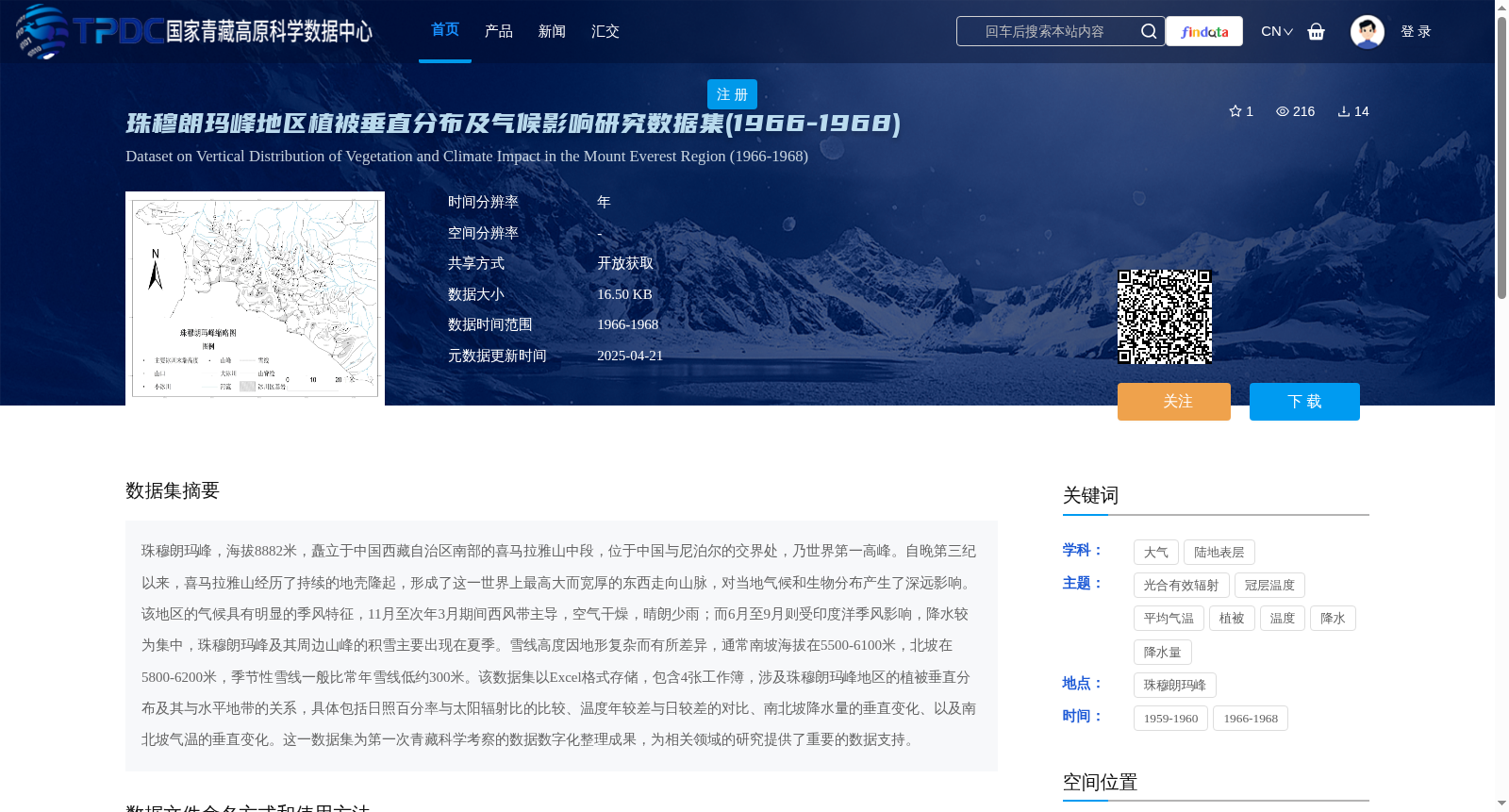
珠穆朗玛峰,海拔8882米,矗立于中国西藏自治区南部的喜马拉雅山中段,位于中国与尼泊尔的交界处,乃世界第一高峰。自晚第三纪以来,喜马拉雅山经历了持续的地壳隆起,形成了这一世界上最高大而宽厚的东西走向山脉,对当地气候和生物分布产生了深远影响。该地区的气候具有明显的季风特征,11月至次年3月期间西风带主导,空气干燥,晴朗少雨;而6月至9月则受印度洋季风影响,降水较为集中,珠穆朗玛峰及其周边山峰的积雪主要出现在夏季。雪线高度因地形复杂而有所差异,通常南坡海拔在5500-6100米,北坡在5800-6200米,季节性雪线一般比常年雪线低约300米。该数据集以Excel格式存储,包含4张工作簿,涉及珠穆朗玛峰地区的植被垂直分布及其与水平地带的关系,具体包括日照百分率与太阳辐射比的比较、温度年较差与日较差的对比、南北坡降水量的垂直变化、以及南北坡气温的垂直变化。这一数据集为第一次青藏科学考察的数据数字化整理成果,为相关领域的研究提供了重要的数据支持。
Mount Qomolangma, with an elevation of 8882 meters, stands in the central section of the Himalayas in southern Tibet Autonomous Region of China, straddling the border between China and Nepal, and is the world's highest peak. Since the Late Neogene, the Himalayas have undergone continuous crustal uplift, forming the world's tallest and widest east-west trending mountain range, which has exerted profound impacts on local climate and biological distribution. The climate of this region exhibits distinct monsoon characteristics: from November to March of the following year, it is dominated by the westerlies, with dry air, clear skies and little rainfall; while from June to September, it is affected by the Indian monsoon, with concentrated precipitation. Snow cover on Mount Qomolangma and its surrounding peaks mainly occurs in summer. The snow line altitude varies due to complex terrain, generally ranging from 5500 to 6100 meters on the southern slope and 5800 to 6200 meters on the northern slope. The seasonal snow line is approximately 300 meters lower than the permanent snow line. This dataset is stored in Excel format, containing 4 worksheets. It covers the vertical distribution of vegetation in the Mount Qomolangma region and its relationship with horizontal zonation, specifically including comparisons of percentage of sunshine duration and solar radiation ratio, comparisons of annual temperature range and diurnal temperature range, vertical variations of precipitation on the southern and northern slopes, and vertical variations of air temperature on the southern and northern slopes. This dataset is the digital collation outcome of data from the first Qinghai-Tibet Scientific Expedition, providing important data support for research in relevant fields.