中国1km分辨率USGS分类标准的土地覆盖数据集(1980-2020年)
收藏资源简介:
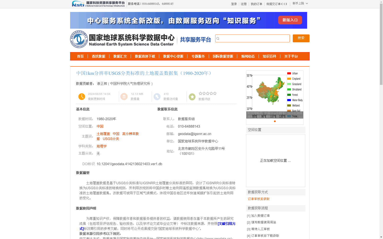
土地覆盖数据是基于USGS分类标准与IGSNRR土地覆盖分类标准的异同,设计了IGSNRR分类标准转换为USGS分类标准的转换规则,并利用该规则将中国多时期土地利用遥感监测数据集转换为USGS分类标准的土地覆盖数据集。该数据可被用于区域气候模式,体现中国各地区近年快速城镇扩张引起的土地利用的变化。
Land cover dataset: Based on the similarities and differences between the USGS land cover classification standard and the IGSNRR land cover classification standard, conversion rules for translating the IGSNRR classification standard to the USGS standard were developed. These rules were then used to convert China's multi-temporal land use remote sensing monitoring dataset into a land cover dataset compliant with the USGS classification standard. This dataset can be applied to regional climate models to characterize land use changes caused by rapid urban expansion across various regions of China in recent years.