黑河中游观测站点(大满站、湿地站和花寨子站)无人机遥感多光谱数据(2020)
收藏国家青藏高原科学数据中心2022-12-30 更新2024-03-07 收录
下载链接:
https://data.tpdc.ac.cn/zh-hans/data/fdabd25b-36bb-467a-ab69-ca0aa69f3797
下载链接
链接失效反馈官方服务:
资源简介:
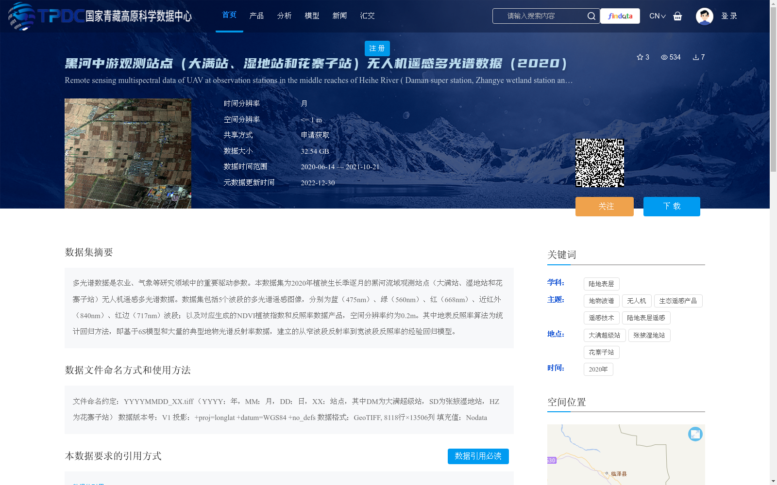
多光谱数据是农业、气象等研究领域中的重要驱动参数。本数据集为2020年植被生长季逐月的黑河流域观测站点(大满站、湿地站和花寨子站)无人机遥感多光谱数据。数据集包括5个波段的多光谱遥感图像,分别为蓝(475nm)、绿(560nm)、红(668nm)、近红外(840nm)、红边(717nm)波段;以及对应生成的NDVI植被指数和反照率数据产品,空间分辨率约为0.2m。其中地表反照率算法为统计回归方法,即基于6S模型和大量的典型地物光谱反射率数据,建立的从窄波段反射率到宽波段反照率的经验回归模型。
Multispectral data is a critical driving parameter in research domains including agriculture and meteorology. This dataset provides unmanned aerial vehicle (UAV) remote sensing multispectral data collected monthly during the 2020 vegetation growing season at three observation stations in the Heihe River Basin: Daman Station, Wetland Station, and Huazhaizi Station. The dataset contains multispectral remote sensing images with five bands: blue (475 nm), green (560 nm), red (668 nm), near-infrared (840 nm), and red-edge (717 nm), alongside the corresponding derived NDVI vegetation index and albedo data products, with a spatial resolution of approximately 0.2 meters. The surface albedo data products are generated via a statistical regression method: an empirical regression model that maps narrow-band reflectance to wide-band albedo, developed based on the 6S model and a large volume of spectral reflectance data from typical surface features.
提供机构:
周纪,王子卫,金子纯,董惟琛
创建时间:
2021-10-19
搜集汇总
数据集介绍
背景与挑战
背景概述
该数据集提供了2020年植被生长季逐月的黑河流域中游三个观测站点(大满站、湿地站和花寨子站)的无人机遥感多光谱数据,包括5个波段的多光谱图像以及NDVI植被指数和反照率产品,空间分辨率高达约0.2米。数据覆盖时间从2020年6月到2021年10月,总大小为32.54 GB,主要用于农业和气象等领域的研究,支持高精度地表参数分析。
以上内容由遇见数据集搜集并总结生成


