广东海岸带土壤与底质类型分布图(1:150万)
收藏南海海洋数据中心2024-03-01 收录
下载链接:
https://data.scsio.ac.cn/metaData-detail/1503943961452400640
下载链接
链接失效反馈官方服务:
资源简介:
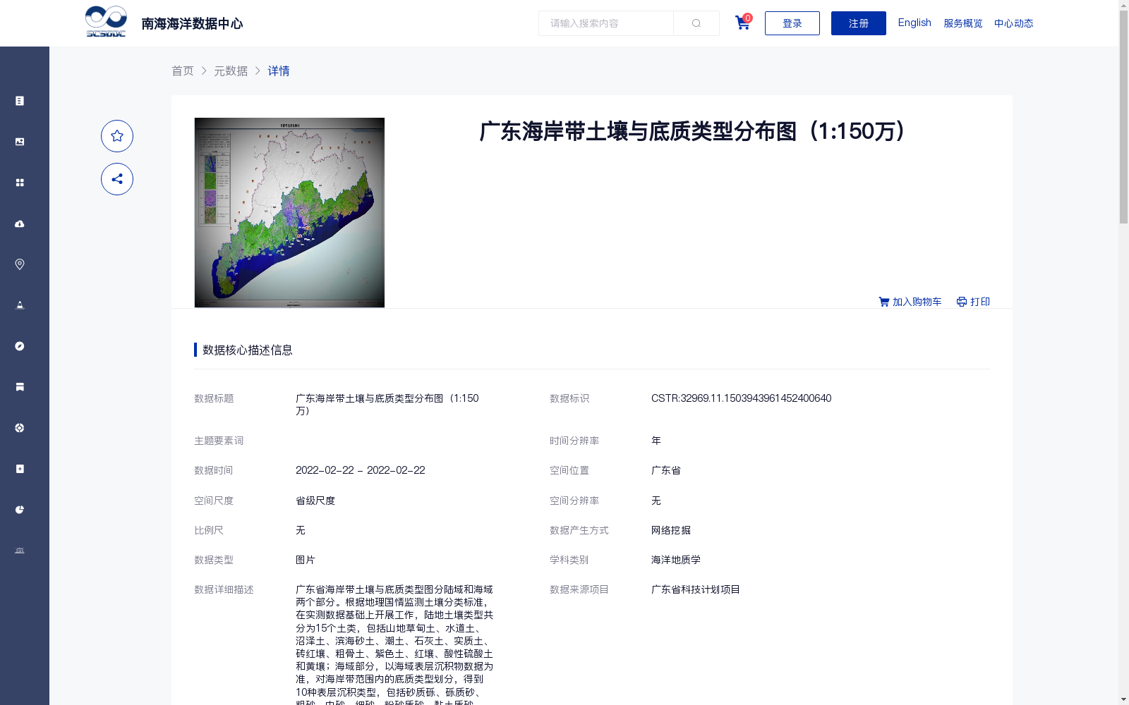
广东省海岸带土壤与底质类型图分陆域和海域两个部分。根据地理国情监测土壤分类标准,在实测数据基础上开展工作,陆地土壤类型共分为15个土类,包括山地草甸土、水道土、沼泽土、滨海砂土、潮土、石灰土、实质土、砖红壤、粗骨土、紫色土、红壤、酸性硫酸土和黄壤;海域部分,以海域表层沉积物数据为准,对海岸带范围内的底质类型划分,得到10种表层沉积类型,包括砂质砾、砾质砂、粗砂、中砂、细砂、粉砂质砂、黏土质砂、砂-粉砂-黏土、黏土质粉砂以及粉砂质黏土。
The soil and substrate type map of the coastal zone of Guangdong Province is divided into two sections: terrestrial and marine. This map was developed based on field-measured data in accordance with the soil classification standard for national geographical conditions monitoring. For the terrestrial part, a total of 15 soil groups are identified, including Mountain Meadow Soil, Channel Soil, Bog Soil, Coastal Sandy Soil, Fluvio-aquic Soil, Calcareous Soil, Substantial Soil, Laterite, Skeletal Soil, Purple Soil, Red Soil, Acid Sulfate Soil, and Yellow Soil. For the marine part, substrate types within the coastal zone are categorized using marine surface sediment data, resulting in 10 surface sediment types, including Sandy Gravel, Gravelly Sand, Coarse Sand, Medium Sand, Fine Sand, Silty Sand, Clayey Sand, Sand-Silt-Clay, Clayey Silt, and Silty Clay.
提供机构:
广州海洋地质调查局
搜集汇总
数据集介绍
背景与挑战
背景概述
该数据集是2022年发布的广东省海岸带土壤与底质类型分布图,比例尺为1:150万,以图片形式呈现。数据集详细划分了陆域15种土壤类型和海域10种底质类型,基于实测和网络挖掘整合,适用于海洋地质学研究和相关应用,数据质量可靠且完全开放共享。
以上内容由遇见数据集搜集并总结生成


