中亚沙漠油气田与城镇分布(2012-2016)
收藏国家青藏高原科学数据中心2023-01-11 更新2024-03-06 收录
下载链接:
https://data.tpdc.ac.cn/zh-hans/data/3dd83c1f-d18e-49d1-ac44-9898be3f1fea
下载链接
链接失效反馈官方服务:
资源简介:
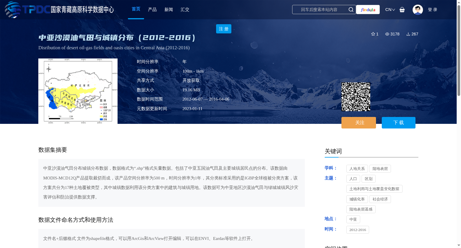
中亚沙漠油气田分布城镇分布数据,数据格式为“.shp”格式矢量数据。包括了中亚五国油气田及主要城镇居民点的分布。该数据由MODIS-MCD12Q产品提取裁切而成,该产品空间分辨率为500 m,时间分辨率为1年,其分类标准采用的是IGBP全球植被分类方案,该方案共分为17种土地覆被类型,其中城镇数据利用该分类方案中的建筑与城镇用地。该数据可为中亚地区沙漠油气田与绿城城镇风沙灾害评估和防治提供数据支撑。
This dataset documents the distributions of oil and gas fields and towns in Central Asian deserts, and is stored as shapefile (.shp) vector data. It covers the distributions of oil and gas fields and major urban residential settlements across the five Central Asian countries.
This dataset was extracted and cropped from the MODIS-MCD12Q product, which has a spatial resolution of 500 meters and a temporal resolution of 1 year. The classification standard of this product follows the IGBP Global Vegetation Classification Scheme, which includes 17 land cover types. The urban settlement data is derived from the built-up and urban land category in this scheme.
This dataset can provide data support for wind-sand disaster assessment and prevention targeting oil and gas fields and green urban towns in Central Asia.
提供机构:
高鑫
创建时间:
2018-12-31
搜集汇总
数据集介绍
背景与挑战
背景概述
该数据集包含中亚五国2012-2016年间的油气田及主要城镇居民点分布数据,格式为.shp矢量数据,空间分辨率为500m,时间分辨率为1年。数据基于MODIS-MCD12Q产品提取,采用IGBP全球植被分类方案,可为中亚地区沙漠油气田与绿洲城镇风沙灾害评估和防治提供数据支撑。
以上内容由遇见数据集搜集并总结生成


