
Overture Maps - Base
收藏Snowflake2024-04-26 更新2024-05-01 收录
下载链接:
https://app.snowflake.com/marketplace/listing/GZT0Z4CM1E9KV
下载链接
链接失效反馈官方服务:
资源简介:
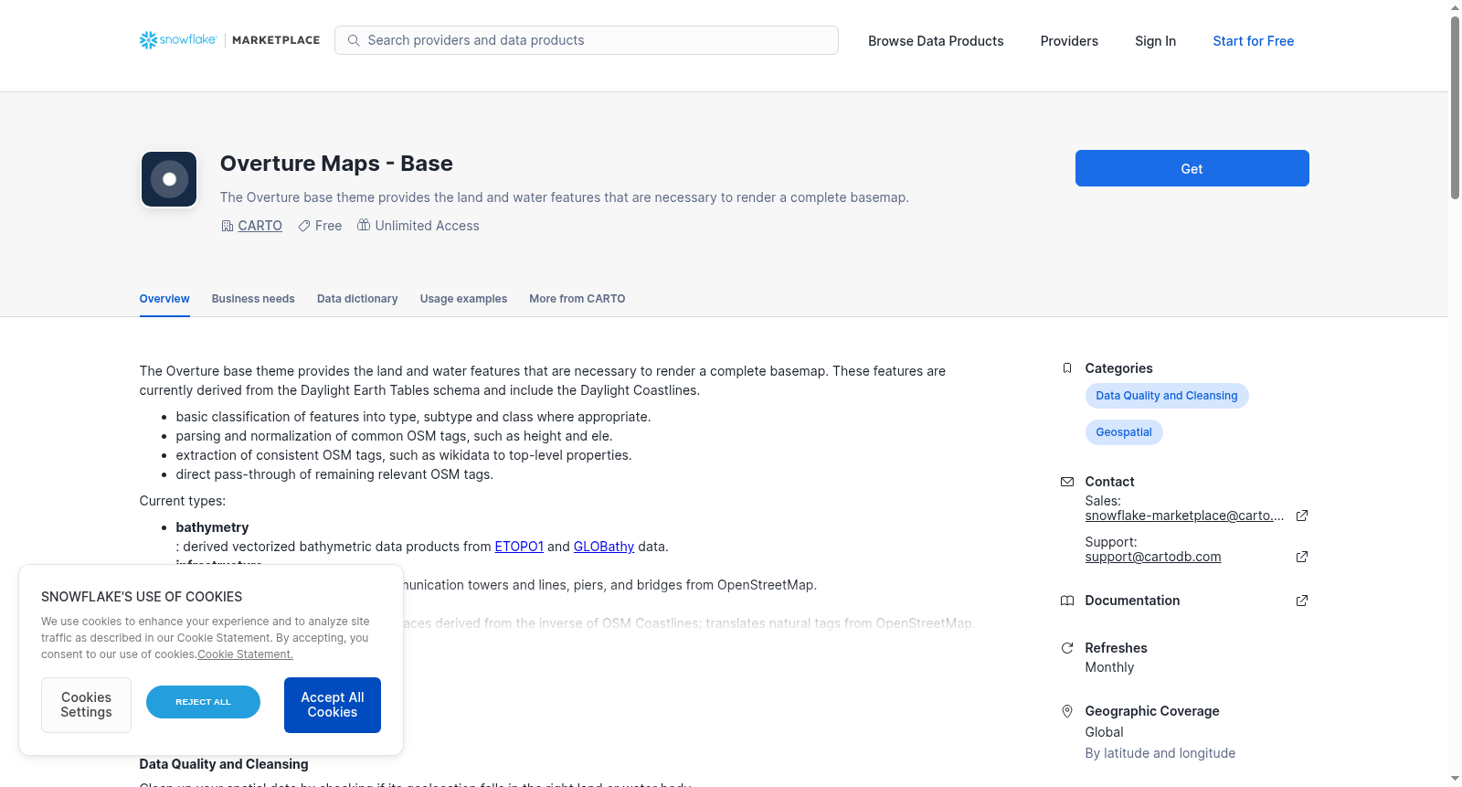
The Overture base theme provides the land and water features that are necessary to render a complete basemap. These features are currently derived from the Daylight Earth Tables schema and include the Daylight Coastlines.
- basic classification of features into type, subtype and class where appropriate.
- parsing and normalization of common OSM tags, such as height and ele.
- extraction of consistent OSM tags, such as wikidata to top-level properties.
- direct pass-through of remaining relevant OSM tags.
Current types:
- **bathymetry**: derived vectorized bathymetric data products from [ETOPO1](https://www.ncei.noaa.gov/products/etopo-global-relief-model) and [GLOBathy](https://www.nature.com/articles/s41597-022-01132-9) data.
- **infrastructure**: Infrastructure features such as communication towers and lines, piers, and bridges from OpenStreetMap.
- **land**: physical representations of land surfaces derived from the inverse of OSM Coastlines; translates natural tags from OpenStreetMap.
- **land_cover**: derived from [ESA WorldCover](https://esa-worldcover.org/en), high-resolution optical Earth observation data.
- **land_use**: classifications of the human use of a section of land; translates landuse tag from OpenStreetMap.
- **water**: physical representations of inland and ocean marine surfaces; translates natural and waterway tags from OpenStreetMap.
Founded in 2022 under the Joint Development Foundation, Overture Maps Foundation (Overture Maps) is dedicated to the development of reliable, easy-to-use, and interoperable open map data that will power current and next-generation map products. We build this data through a collaborative process that combines technology, data, and support from a wide range of companies. Map data are assembled from multiple sources including members, civic organizations, and open data sources.
Overture's data themes and schema are licensed under CC-BY 4.0. GERS IDs are licensed under CDLA Permissive v 2.0. Data associated with the themes through GERS can carry different licenses. However, if the data associated though GERS with an ODbL licensed theme constitutes a derivative dataset, it must be licensed under ODbL. See OpenStreetMap Community Guidelines for definitions of a derivative database.
This data is processed, onboarded and maintained by CARTO in collaboration with the Overture Maps Foundation.
提供机构:
CARTO
创建时间:
2024-03-20
搜集汇总
数据集介绍
背景与挑战
背景概述
Overture Maps - Base数据集包含基础地图渲染所需的陆地和海洋特征,涵盖水深测量、基础设施、陆地等七种类型,数据源自ETOPO1、GLOBathy等开放数据源并经过标准化处理。该数据集由Overture Maps Foundation与CARTO合作维护,采用CC-BY 4.0等开放许可协议。
以上内容由遇见数据集搜集并总结生成



