
PLAIR-AW
收藏资源简介:
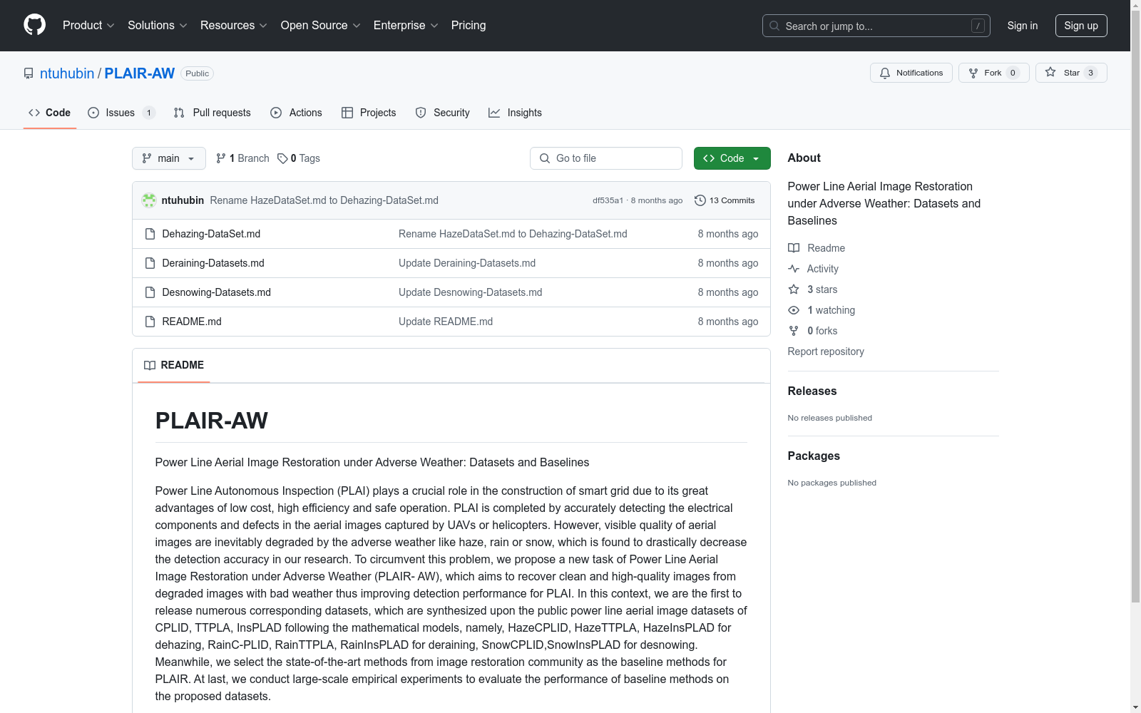
PLAIR-AW数据集由南通大学创建,旨在解决智能电网中无人机拍摄的电力线航拍图像在恶劣天气条件下的恢复问题。该数据集包含多种恶劣天气条件下的合成图像,如雾霾、雨雪等,基于公开的电力线航拍图像数据集CPLID、TTPLA和InsPLAD构建。数据集大小为15347条,涵盖不同分辨率的图像,用于训练和测试。创建过程遵循数学模型,模拟真实恶劣天气环境。该数据集主要应用于电力线自主检查,提高检测精度,确保电力系统的稳定性和可靠性。
The PLAIR-AW dataset was created by Nantong University, aiming to solve the image restoration problem of overhead power line aerial images captured by unmanned aerial vehicles (UAVs) under adverse weather conditions in smart grids. Constructed based on three public overhead power line aerial image datasets, namely CPLID, TTPLA, and InsPLAD, this dataset includes synthetic images under various adverse weather conditions such as haze, rain, and snow. Comprising 15,347 image samples with different resolutions, the dataset is designed for model training and testing. Its development follows mathematical models to simulate real-world adverse weather environments. This dataset is mainly applied to autonomous inspection of overhead power lines, with the goals of improving detection accuracy and ensuring the stability and reliability of power systems.
PLAIR-AW 数据集概述
数据集名称
PLAIR-AW
数据集全称
Power Line Aerial Image Restoration under Adverse Weather: Datasets and Baselines
数据集描述
PLAIR-AW 数据集旨在解决恶劣天气条件下电力线航拍图像的质量恢复问题。该数据集通过合成的方式,基于公开的电力线航拍图像数据集 CPLID、TTPLA 和 InsPLAD,生成了多种恶劣天气条件下的图像数据集,包括:
-
去雾数据集:
- HazeCPLID
- HazeTTPLA
- HazeInsPLAD
-
去雨数据集:
- RainCPLID
- RainTTPLA
- RainInsPLAD
-
去雪数据集:
- SnowCPLID
- SnowInsPLAD
数据集用途
该数据集用于评估和改进在恶劣天气条件下电力线航拍图像的恢复算法,从而提高电力线自主巡检的检测精度。
数据集特点
- 首次发布针对恶劣天气条件下电力线航拍图像恢复的数据集。
- 基于现有公开数据集合成,涵盖去雾、去雨和去雪三种主要恶劣天气条件。
- 提供了图像恢复领域的最先进方法作为基线方法,并进行了大规模的实验评估。
- 1Power Line Aerial Image Restoration under dverse Weather: Datasets and Baselines南通大学 · 2024年


