小滦河流域土壤温湿度传感器网络观测数据集(2018-2019)
收藏国家青藏高原科学数据中心2021-06-11 更新2024-03-07 收录
下载链接:
https://data.tpdc.ac.cn/zh-hans/data/b394dc1d-ebcf-450c-99f9-e78de7223865
下载链接
链接失效反馈官方服务:
资源简介:
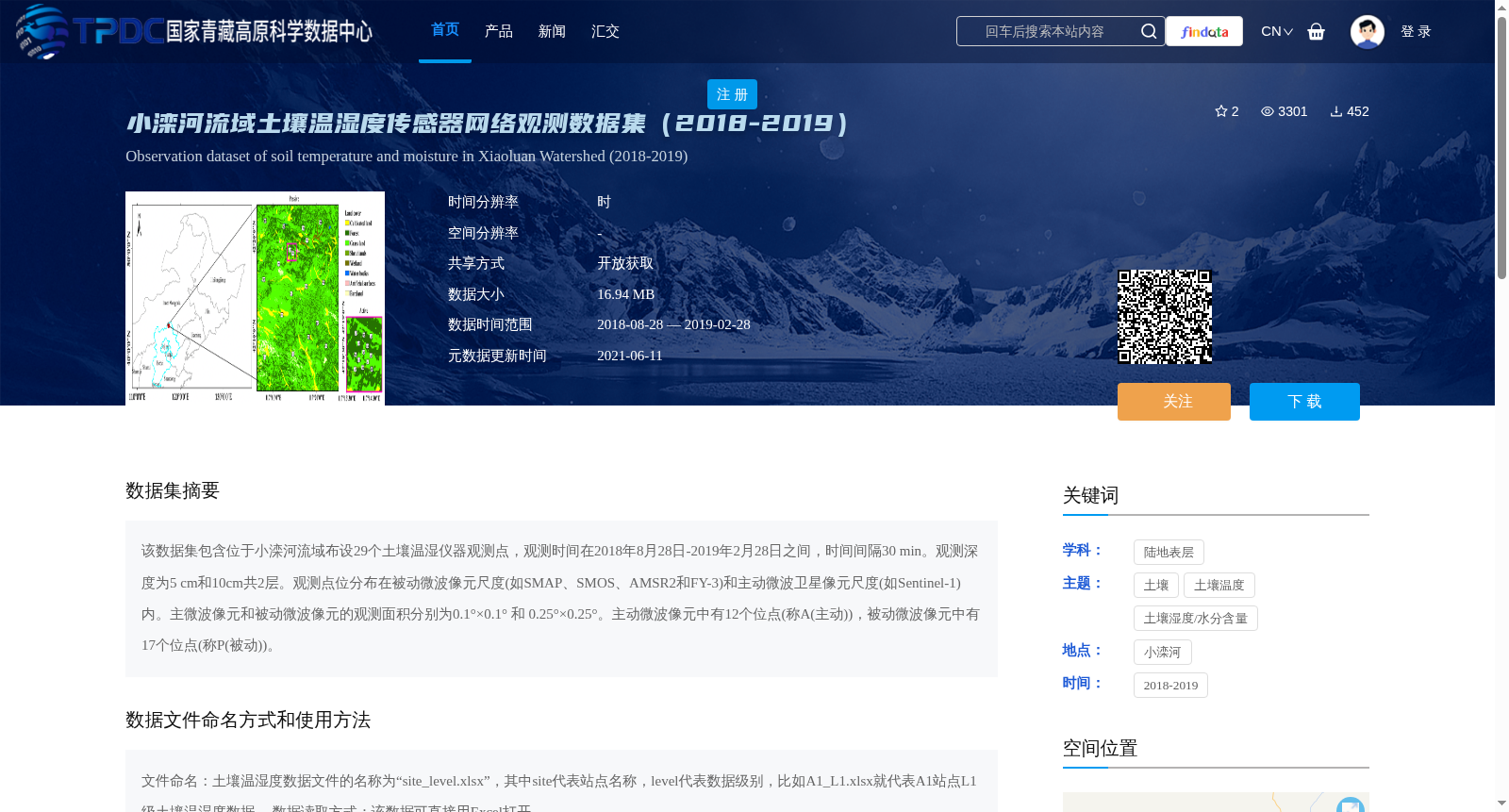
该数据集包含位于小滦河流域布设29个土壤温湿仪器观测点,观测时间在2018年8月28日-2019年2月28日之间,时间间隔30 min。观测深度为5 cm和10cm共2层。观测点位分布在被动微波像元尺度(如SMAP、SMOS、AMSR2和FY-3)和主动微波卫星像元尺度(如Sentinel-1)内。主微波像元和被动微波像元的观测面积分别为0.1°×0.1° 和 0.25°×0.25°。主动微波像元中有12个位点(称A(主动)),被动微波像元中有17个位点(称P(被动))。
This dataset contains 29 soil temperature and moisture monitoring stations deployed in the Xiaoluanhe River Basin. The observations were conducted between August 28, 2018 and February 28, 2019, with a temporal sampling interval of 30 minutes. Soil measurements are taken at two depths: 5 cm and 10 cm. These monitoring stations are distributed within both passive microwave satellite pixel scales (e.g., SMAP, SMOS, AMSR2, and FY-3) and active microwave satellite pixel scales (e.g., Sentinel-1). The observation areas of active microwave pixels and passive microwave pixels are 0.1°×0.1° and 0.25°×0.25°, respectively. Among these stations, 12 are located within active microwave pixels (designated as Group A (active)), while the remaining 17 are within passive microwave pixels (designated as Group P (passive)).
提供机构:
蒋玲梅
创建时间:
2021-06-07
搜集汇总
数据集介绍
背景与挑战
背景概述
该数据集包含2018年8月至2019年2月期间小滦河流域29个观测点的土壤温湿度数据,时间分辨率为30分钟,观测深度为5cm和10cm。数据覆盖主动和被动微波卫星像元尺度,适用于土壤温湿度相关研究。
以上内容由遇见数据集搜集并总结生成


