UAV-based hyperspectral dataset for high-throughput yield phenotyping in wheat
收藏资源简介:
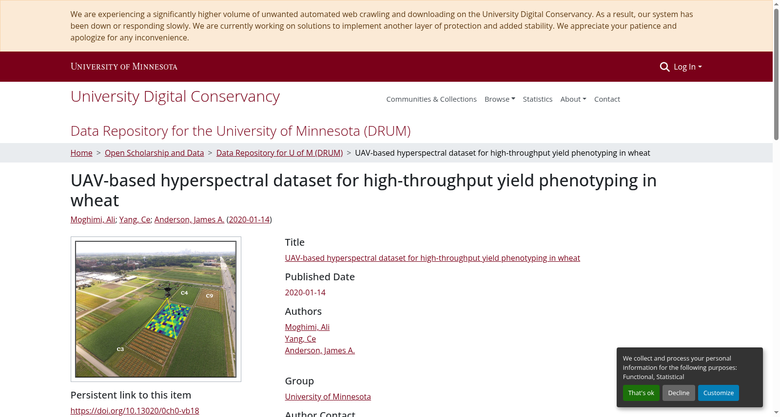
The dataset was collected by a hyperspectral camera (PIKA II, Resonon, Inc.) mounted on an unmanned aerial vehicle (UAV, DJI Matrice 600 Pro) from three experimental yield trial fields (C3, C4, and C9) during two consecutive growing seasons 2017 (C3 and C9) and 2018 (C4). The aerial hyperspectral images were captured within two weeks prior to harvest over 240 spectral channels in visible and near infrared region (400 nm to 900 nm) with about 2.1 nm spectral resolution and about 2 cm spatial resolution. Subsequent to radiometric calibration and noisy band removal, plots were cropped from the hyperspectral images and saved as 3D matrices with Matlab (MAT files) and Python (NPY files) format. The dataset entails hyperspectral cubes of 1021 wheat plots and the grain yield of plots harvested by a combine. The corresponding ground truth data (yield) for each hyperspectral cube representing a plot can be found based on the field (e.g., C3, C4, and C9) and plot ID.
本数据集由搭载于无人机(UAV,DJI Matrice 600 Pro)的高光谱相机(PIKA II,Resonon公司)采集,采集场景为3个试验产量田块(编号C3、C4、C9),覆盖两个连续生长季:2017年(对应C3与C9田块)、2018年(对应C4田块)。 航空高光谱图像于收获前两周内拍摄,涵盖可见光至近红外波段(400 nm至900 nm)的240个光谱通道,光谱分辨率约2.1 nm,空间分辨率约2 cm。 经辐射定标与噪声波段剔除处理后,从高光谱图像中裁剪出单个试验小区,并分别以Matlab(MAT文件)与Python(NPY文件)格式存储为三维矩阵。 本数据集包含1021个小麦小区的高光谱立方体数据,以及联合收割机收割得到的各小区籽粒产量数据。每个代表试验小区的高光谱立方体的实测产量真值,可通过所属田块(如C3、C4、C9)与小区ID进行查询。