2020年海上丝绸之路沿线30mLandsat TM/OLI港口分布范围及其变化数据集
收藏地球大数据科学工程2024-04-26 收录
下载链接:
https://data.casearth.cn/sdo/detail/653c968d819aec42f01a3201
下载链接
链接失效反馈官方服务:
资源简介:
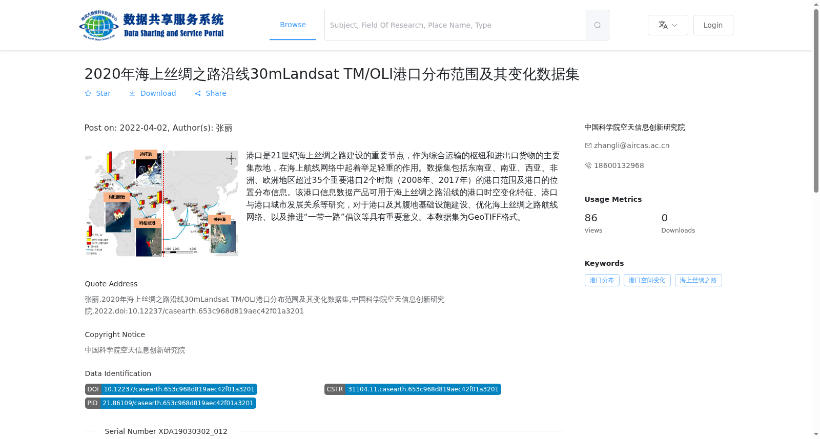
港口是21世纪海上丝绸之路建设的重要节点,作为综合运输的枢纽和进出口货物的主要集散地,在海上航线网络中起着举足轻重的作用。数据集包括东南亚、南亚、西亚、非洲、欧洲地区超过35个重要港口2个时期(2008年、2017年)的港口范围及港口的位置分布信息。该港口信息数据产品可用于海上丝绸之路沿线的港口时空变化特征、港口与港口城市发展关系等研究,对于港口及其腹地基础设施建设、优化海上丝绸之路航线网络、以及推进“一带一路”倡议等具有重要意义。本数据集为GeoTIFF格式。
Ports are important nodes in the construction of the 21st-Century Maritime Silk Road. As hubs for comprehensive transportation and main distribution centers for import and export cargo, they play a pivotal role in maritime route networks. This dataset covers the port extent and spatial distribution information of over 35 major ports in Southeast Asia, South Asia, West Asia, Africa, and Europe across two periods (2008 and 2017). This port information data product can be used for research on spatiotemporal change characteristics of ports along the Maritime Silk Road, the development relationship between ports and their port cities, and other related studies. It is of great significance for the infrastructure construction of ports and their hinterlands, the optimization of maritime route networks of the Maritime Silk Road, and the promotion of the Belt and Road Initiative. This dataset is in GeoTIFF format.
提供机构:
中国科学院空天信息创新研究院
搜集汇总
数据集介绍
背景与挑战
背景概述
该数据集提供了2020年海上丝绸之路沿线超过35个重要港口在2008年和2017年两个时期的港口范围及位置分布信息,基于30米分辨率的Landsat TM/OLI卫星影像,以GeoTIFF格式存储。它旨在支持港口时空变化特征分析、港口与港口城市发展关系研究,对优化海上丝绸之路航线网络和推进一带一路建设具有重要意义。
以上内容由遇见数据集搜集并总结生成


