浙江省250米土壤pH栅格图(1990年)
收藏国家地球系统科学数据中心2024-07-09 更新2024-03-04 收录
下载链接:
https://www.geodata.cn/data/datadetails.html?dataguid=140086259420676&docId=3005
下载链接
链接失效反馈官方服务:
资源简介:
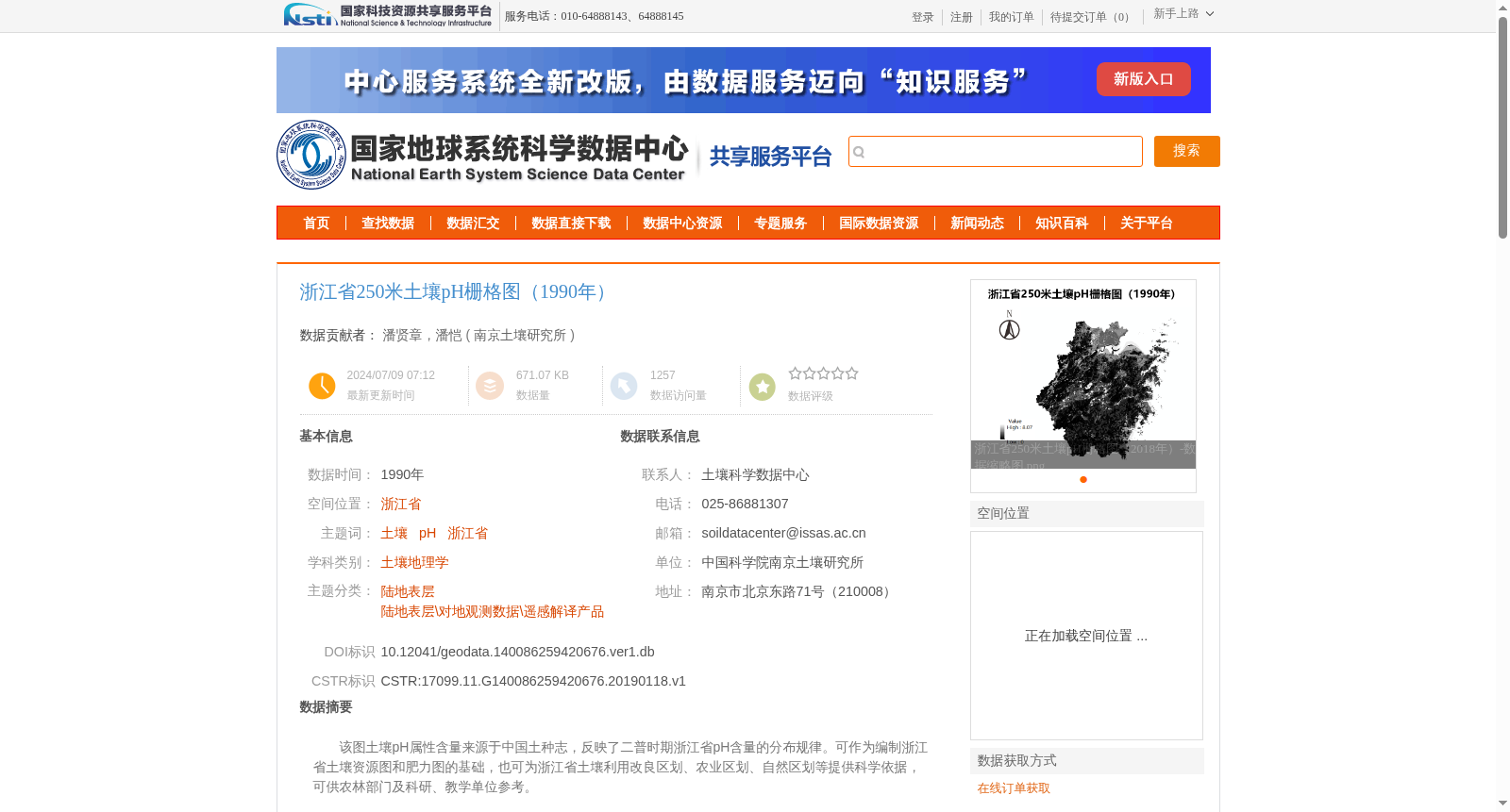
该图土壤pH属性含量来源于中国土种志,反映了二普时期浙江省pH含量的分布规律。可作为编制浙江省土壤资源图和肥力图的基础,也可为浙江省土壤利用改良区划、农业区划、自然区划等提供科学依据,可供农林部门及科研、教学单位参考。
The soil pH data included in this map are sourced from the *Soil Species Gazetteer of China*, reflecting the distribution pattern of soil pH values in Zhejiang Province during the Second National Soil Survey of China. This dataset can serve as the basis for compiling soil resource maps and soil fertility maps of Zhejiang Province, and provide a scientific basis for soil utilization and improvement zoning, agricultural regionalization, natural regionalization and other relevant regional planning works in Zhejiang Province. It can also be used as a reference for agricultural and forestry departments, scientific research institutions and educational institutions.
提供机构:
南京土壤研究所
创建时间:
2019-01-18
搜集汇总
数据集介绍
背景与挑战
背景概述
该数据集为1990年浙江省土壤pH值的250米分辨率栅格图,数据来源于全国第二次土壤普查资料,经过数字化和投影变换处理,适用于土壤资源图编制和农业区划等科研用途。数据采用Albers_Conical_Equal_Area投影,并通过严格的质量控制确保可靠性。
以上内容由遇见数据集搜集并总结生成


