三北防护林建设工程边界数据集
收藏国家生态科学数据中心2024-03-04 收录
下载链接:
http://www.nesdc.org.cn/sdo/detail?id=63627c297e28173e66a72422
下载链接
链接失效反馈官方服务:
资源简介:
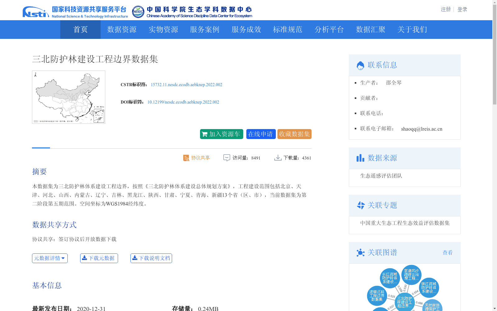
本数据集为三北防护林体系建设工程边界,按照《三北防护林体系建设总体规划方案》,工程建设范围包括北京、天津、河北、山西、内蒙古、辽宁、吉林、黑龙江、陕西、甘肃、宁夏、青海、新疆13个省(区、市),当前数据集为第二阶段第五期范围。空间坐标为WGS1984经纬度。
This dataset includes the boundaries of the Three-North Shelter Forest Program. Pursuant to the Overall Planning Plan for the Three-North Shelter Forest Program, the construction scope of the project covers 13 provinces, autonomous regions and municipalities directly under the Central Government, namely Beijing, Tianjin, Hebei, Shanxi, Inner Mongolia, Liaoning, Jilin, Heilongjiang, Shaanxi, Gansu, Ningxia, Qinghai and Xinjiang. The current dataset covers the scope of the 5th phase of the 2nd stage of the project. The spatial coordinates adopt the WGS1984 geographic coordinate system (latitude and longitude).
提供机构:
团队
创建时间:
2020-12-31
搜集汇总
数据集介绍
背景与挑战
背景概述
该数据集提供了三北防护林体系建设工程的地理边界矢量数据,覆盖北京、天津等13个省(区、市),对应工程第二阶段第五期范围,空间坐标为WGS1984经纬度。数据集发布于2020年,存储量小(0.24MB),属于地球科学领域,主要用于生态工程评估和学术研究,需通过协议共享方式获取。
以上内容由遇见数据集搜集并总结生成


