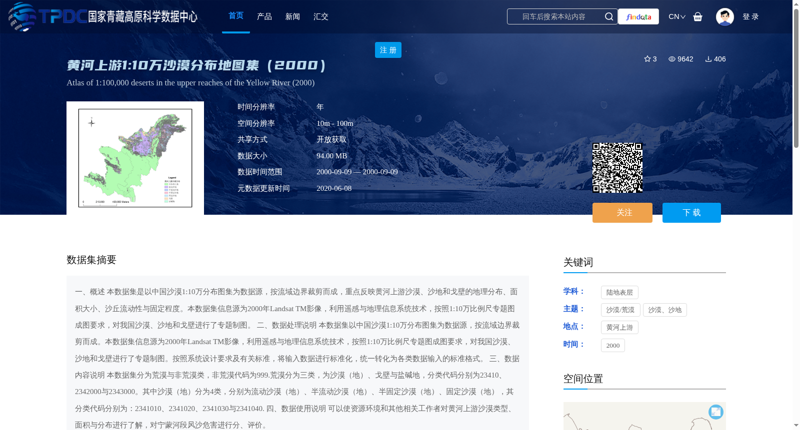
黄河上游1:10万沙漠分布地图集(2000)
收藏国家青藏高原科学数据中心2020-06-08 更新2024-03-01 收录
下载链接:
https://data.tpdc.ac.cn/zh-hans/data/271a977c-f251-4562-9be4-db0f476b0134
下载链接
链接失效反馈官方服务:
资源简介:
一、概述
本数据集是以中国沙漠1:10万分布图集为数据源,按流域边界裁剪而成,重点反映黄河上游沙漠、沙地和戈壁的地理分布、面积大小、沙丘流动性与固定程度。本数据集信息源为2000年Landsat TM影像,利用遥感与地理信息系统技术,按照1:10万比例尺专题图成图要求,对我国沙漠、沙地和戈壁进行了专题制图。
二、数据处理说明
本数据集以中国沙漠1:10万分布图集为数据源,按流域边界裁剪而成。本数据集信息源为2000年Landsat TM影像,利用遥感与地理信息系统技术,按照1:10万比例尺专题图成图要求,对我国沙漠、沙地和戈壁进行了专题制图。按照系统设计要求及有关标准,将输入数据进行标准化,统一转化为各类数据输入的标准格式。
三、数据内容说明
本数据集分为荒漠与非荒漠类,非荒漠代码为999.荒漠分为三类,为沙漠(地)、戈壁与盐碱地,分类代码分别为23410、2342000与2343000。其中沙漠(地)分为4类,分别为流动沙漠(地)、半流动沙漠(地)、半固定沙漠(地)、固定沙漠(地),其分类代码分别为:2341010、2341020、2341030与2341040.
四、数据使用说明
可以使资源环境和其他相关工作者对黄河上游沙漠类型、面积与分布进行了解,对宁蒙河段风沙危害进行分、评价。
1. Overview
This dataset is developed based on the 1:100,000 scale atlas of deserts in China, cropped according to watershed boundaries, and focuses on reflecting the geographical distribution, area size, mobility and stabilization status of sand dunes of deserts, sandy lands and Gobi in the upper reaches of the Yellow River. The data source of this dataset is the 2000 Landsat TM imagery. Remote sensing (RS) and geographic information system (GIS) technologies were used to conduct thematic mapping of deserts, sandy lands and Gobi in China in accordance with the mapping requirements of 1:100,000 scale thematic maps.
2. Data Processing Instructions
This dataset is developed based on the 1:100,000 scale atlas of deserts in China, cropped according to watershed boundaries. The data source of this dataset is the 2000 Landsat TM imagery. Remote sensing (RS) and geographic information system (GIS) technologies were used to conduct thematic mapping of deserts, sandy lands and Gobi in China in accordance with the mapping requirements of 1:100,000 scale thematic maps. In accordance with system design requirements and relevant standards, the input data was standardized and uniformly converted into the standard format for various data inputs.
3. Data Content Description
This dataset is divided into desert and non-desert categories, with the non-desert code being 999. Deserts are classified into three types: desert (sandy land), Gobi, and saline-alkali land, with classification codes 23410, 2342000 and 2343000 respectively. Among them, deserts (sandy lands) are further divided into four subtypes: mobile desert (sandy land), semi-mobile desert (sandy land), semi-fixed desert (sandy land) and fixed desert (sandy land), with their corresponding classification codes being 2341010, 2341020, 2341030 and 2341040 respectively.
4. Data Usage Instructions
This dataset enables researchers in resources, environment and other related fields to understand the types, areas and distribution of deserts in the upper reaches of the Yellow River, and analyze and evaluate wind-sand hazards in the Ningxia-Inner Mongolia section of the Yellow River.
提供机构:
薛娴,杜鹤强
创建时间:
2012-10-31
搜集汇总
数据集介绍
背景与挑战
背景概述
该数据集是基于2000年Landsat TM影像,利用遥感与地理信息系统技术制作的黄河上游1:10万沙漠分布地图集,重点反映沙漠、沙地和戈壁的地理分布、面积大小及沙丘流动性与固定程度。数据集分为荒漠与非荒漠类,其中荒漠进一步细分为沙漠(地)、戈壁与盐碱地,适用于资源环境及相关领域的研究。
以上内容由遇见数据集搜集并总结生成


