青藏高原湖泊面积长时间序列数据集(1970-2013)
收藏国家青藏高原科学数据中心2022-05-24 更新2024-03-01 收录
下载链接:
https://data.tpdc.ac.cn/zh-hans/data/2dde31ec-7096-4f30-995c-518772655248
下载链接
链接失效反馈官方服务:
资源简介:
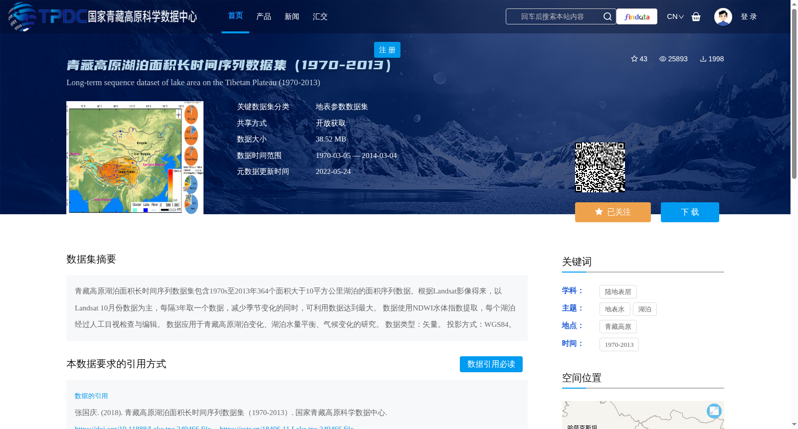
青藏高原湖泊面积长时间序列数据集包含1970s至2013年364个面积大于10平方公里湖泊的面积序列数据。根据Landsat影像得来,以Landsat 10月份数据为主,每隔3年取一个数据,减少季节变化的同时,可利用数据达到最大。
数据使用NDWI水体指数提取,每个湖泊经过人工目视检查与编辑。
数据应用于青藏高原湖泊变化、湖泊水量平衡、气候变化的研究。
数据类型:矢量。
投影方式:WGS84。
The long-time series lake area dataset of the Qinghai-Tibet Plateau contains area sequence data of 364 lakes with an area greater than 10 km² from the 1970s to 2013. Derived from Landsat imagery, the dataset primarily uses Landsat data collected in October, with one sample acquired every three years to mitigate seasonal variations while maximizing the availability of usable data. Water bodies of each lake were extracted using the Normalized Difference Water Index (NDWI), and manual visual inspection and editing were conducted for every lake. This dataset is applicable to studies on lake changes, lake water balance and climate change over the Qinghai-Tibet Plateau. Data type: Vector. Projection: WGS84.
提供机构:
张国庆
创建时间:
2018-09-13
搜集汇总
数据集介绍
背景与挑战
背景概述
该数据集提供了1970年至2013年间青藏高原364个面积大于10平方公里的湖泊面积长时间序列数据,基于Landsat影像(以10月份数据为主,每隔3年采样)并使用NDWI水体指数提取,经人工检查确保准确性。数据为矢量格式、WGS84投影,适用于研究湖泊变化、水量平衡和气候变化,具有高时空覆盖和可靠的质量控制特点。
以上内容由遇见数据集搜集并总结生成


