Arctic daily 1km sea ice drift product: 2018-2020, version 1.0
收藏Mendeley Data2024-06-25 更新2024-06-30 收录
下载链接:
https://www.scidb.cn/en/detail?dataSetId=8cf81c7a69004c2ebc94b12ddbb7ae72
下载链接
链接失效反馈官方服务:
资源简介:
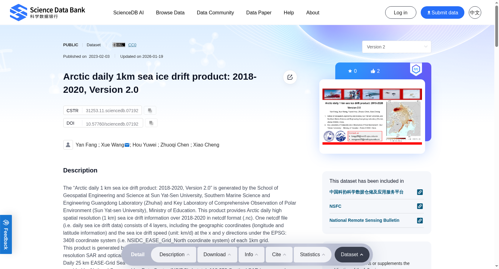
“The Arctic daily 1 km sea ice drift product: 2018-2020, version 1.0” is generated by the School of Geospatial Engineering and Science at Sun Yat-Sen University, Southern Marine Science and Engineering Guangdong Laboratory (Zhuhai) and Polar Science Center at Sun Yat-Sen University. This product provides the Arctic daily high spatial resolution (1 km) sea ice drift information over 2018-2020 in netcdf format (.nc). One netcdf file (i.e. daily sea ice drift data) consists of 4 layers, including the geographic coordinates (longitude and latitude information) and the sea ice drift speed (unit: km/d) at the x and y directions under the EPSG: 3408 coordinate system (i.e. NSIDC_EASE_Grid_North coordinate system) of each 1km grid.This product is generated by using multi-source datasets, including the medium and high spatial resolution SAR and optical remotely sensed data (i.e. Sentinel-1 A/B and MODIS Terra/Aqua images) and Polar Pathfinder Daily 25 km EASE-Grid Sea Ice Motion Vectors, version 4 (referred to as NSIDC-Pathfinder hereafter) provided by National Snow and Ice Data Center (NSIDC). In total, 118,359 Sentinel SAR images and 56,857 MOIDS images are used. The product process mainly includes three procedures: First, Sentinel-1 SAR images in the sea ice freezing season and MODIS images in the melting season are preprocessed with geocoding, resampling and etc. Then, the image pairs are created based on transit time and spatial overlap information. The feature tracking sea ice vectors are retrieved from the image pairs based on the A-KAZE algorithm and bad matches filtering. Finally, the merged Arctic daily 1km sea ice drift fields are generated based on co-kriging method with the feature tracking results as the main variable and the NSIDC-Pathfinder as the covariable (i.e. background field).A preliminary validation is conducted on this product over 2018-2020 using the IABP (International Arctic Buoy Programme) buoy data, and a total of 31,194 valid verification results are received. The sea ice drift velocity MAE (Mean Absolute Error) of this product is 1.08 km/d, and the angle MAE is 9.63 °. Compared to the mainstream sea ice drift products (showing 10-100km spatial resolution with the speed and angle MAE around 1.5km/d and 20°, respectively), this product shows advantages in both spatial resolution and accuracy.
《北极每日1公里分辨率海冰漂移产品(2018-2020年,V1.0版)》由中山大学测绘科学与工程学院、南方海洋科学与工程广东省实验室(珠海)以及中山大学极地研究中心联合研制。
本数据集提供2018-2020年北极地区每日高空间分辨率(1公里)海冰漂移信息,存储格式为netCDF(.nc)格式。每个netCDF文件(即单日海冰漂移数据)包含4个数据层,涵盖每1公里网格在EPSG:3408坐标系(即NSIDC_EASE_Grid_North坐标系)下的地理坐标(经纬度信息)以及x、y方向的海冰漂移速度(单位:公里/天)。
本数据集基于多源数据研制,包括中高空间分辨率合成孔径雷达(SAR)与光学遥感数据(即Sentinel-1 A/B卫星数据以及MODIS Terra/Aqua影像),以及美国国家冰雪数据中心(National Snow and Ice Data Center, NSIDC)提供的《Polar Pathfinder每日25公里EASE格网海冰运动矢量V4.0版》(下文简称NSIDC-Pathfinder数据集)。共计使用118359景Sentinel SAR影像与56857景MODIS影像。
数据集生产流程主要包含三个核心步骤:其一,针对海冰冻结季的Sentinel-1 SAR影像与消融季的MODIS影像进行地理编码、重采样等预处理操作;其二,基于成像时间与空间重叠信息构建影像对,通过A-KAZE算法与误匹配筛选从影像对中提取特征追踪型海冰运动矢量;其三,以特征追踪结果为核心变量、NSIDC-Pathfinder数据集为协变量(即背景场),采用协同克里金(co-kriging)方法融合生成北极地区每日1公里分辨率海冰漂移场。
本数据集基于国际北极浮标计划(International Arctic Buoy Programme, IABP)的浮标数据,对2018-2020年的产品进行了初步验证,共获得31194组有效验证结果。该数据集的海冰漂移速度平均绝对误差(Mean Absolute Error, MAE)为1.08公里/天,角度平均绝对误差为9.63°。相较于主流海冰漂移产品(空间分辨率多为10-100公里,速度与角度平均绝对误差分别约为1.5公里/天与20°),本数据集在空间分辨率与精度两方面均具备显著优势。
创建时间:
2023-06-28
搜集汇总
数据集介绍
背景与挑战
背景概述
该数据集提供了2018-2020年北极地区每日1公里高分辨率海冰漂移信息,采用Sentinel-1和MODIS等多源遥感数据生成,并通过浮标观测验证显示其速度和角度精度优于现有产品。数据集以netcdf格式存储,包含地理坐标和两个方向的海冰漂移速度数据。
以上内容由遇见数据集搜集并总结生成


