End-to-end digital twin creation of the archaeological landscape in Uruk-Warka (Iraq)
收藏DataCite Commons2026-01-26 更新2024-08-19 收录
下载链接:
https://tandf.figshare.com/articles/dataset/End-to-end_digital_twin_creation_of_the_archaeological_landscape_in_Uruk-Warka_Iraq_/25434589
下载链接
链接失效反馈官方服务:
资源简介:
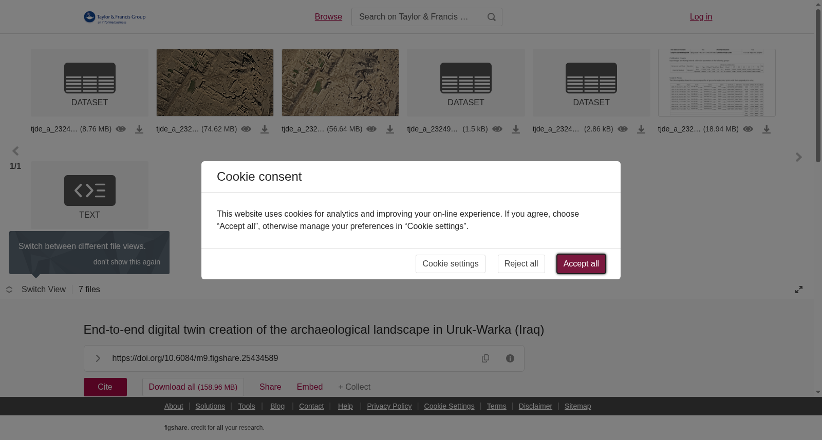
This article demonstrates recent technological advancements enabling the creation of digital twins for expansive real-world terrains. Focusing on the archaeological site Uruk-Warka in southern Iraq the German Archaeological Institute deployed the Delta Quad Pro, a winged UAV equipped with vertical take-off and landing capabilities. This UAV captured 32,000 aerial images of the ancient city and its immediate environment. Each image was precisely geotagged using an integrated DGNSS receiver. Utilizing advanced 3D photogrammetry software, we synthesized these images into a single georeferenced model. The outcome was a detailed triangulated mesh, comprising of one billion triangles and 1024 8k-resolution texture files, representing a 40 square kilometers terrain. When rendered in a game-engine and applying the new technologies Nanite and Streaming Virtual Texture, this massive dataset can be visualized in real-time. The result is ‘Uruk-VR,’ a digital twin of the Uruk-Warka archaeological site, most of which has never been investigated. Basic tools have been implemented to annotate features and measure distances within the Uruk-VR. The methodologies showcased here are scalable for creating digital twins of diverse terrains. Uruk-VR's potential extends to research, education and conservation, exemplifying how game engines can seamlessly integrate vast and diverse geospatial data in 3D space.
本文展示了当下的技术突破,其可支持为广袤的真实世界地貌构建数字孪生(digital twin)。德国考古研究所(German Archaeological Institute)以伊拉克南部的乌鲁克-瓦尔卡(Uruk-Warka)考古遗址为研究对象,部署了Delta Quad Pro——一款兼具垂直起降能力的有翼无人机(Unmanned Aerial Vehicle,简称UAV)。该无人机采集了这座古城及其周边区域共计32000张航拍影像,每一张影像均通过集成的差分全球导航卫星系统(Differential Global Navigation Satellite System,简称DGNSS)接收机完成精准地理标记。借助先进的三维摄影测量软件,研究团队将所有影像合成为单一的地理参考模型。最终生成了细节丰富的三角网格模型,该模型包含10亿个三角面片与1024个8K分辨率纹理文件,覆盖面积达40平方公里的地貌范围。当在游戏引擎中渲染并应用Nanite与流式虚拟纹理(Streaming Virtual Texture)两项新技术时,该海量数据集可实现实时可视化。最终成果为‘乌鲁克-VR(Uruk-VR)’——乌鲁克-瓦尔卡考古遗址的数字孪生,该遗址的绝大部分区域此前从未被考古调查过。研究团队已在Uruk-VR中内置基础工具,可用于标注遗址特征并测量空间距离。本文展示的方法具备可扩展性,可用于为各类地貌创建数字孪生。乌鲁克-VR的应用潜力涵盖科研、教育与文物保护领域,该案例也展示了游戏引擎如何在三维空间中无缝整合海量且多样的地理空间数据。
提供机构:
Taylor & Francis
创建时间:
2024-03-19
搜集汇总
数据集介绍
以上内容由遇见数据集搜集并总结生成


