Landslide manual and automated inventories, and susceptibility mapping using LIDAR in the forested mountains of Guerrero, Mexico
收藏DataCite Commons2025-06-01 更新2024-07-25 收录
下载链接:
https://tandf.figshare.com/articles/dataset/Landslide_manual_and_automated_inventories_and_susceptibility_mapping_using_LIDAR_in_the_forested_mountains_of_Guerrero_Mexico/4737715/1
下载链接
链接失效反馈官方服务:
资源简介:
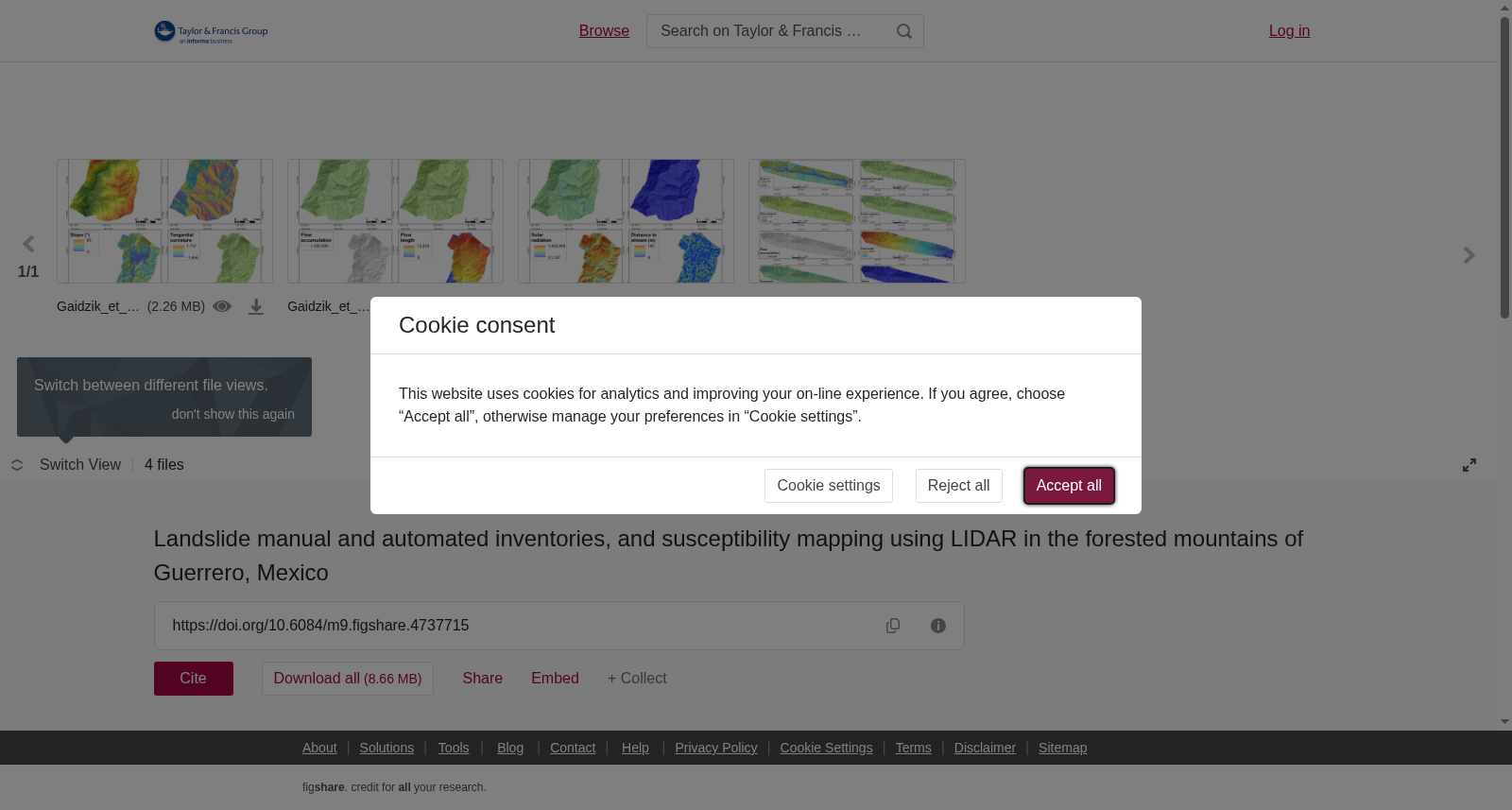
Landslides are a pervasive natural disaster, resulting in severe social, environmental and economic impacts worldwide. The tropical, mountainous landscape in South-West Mexico is predisposed to landslides because of frequent hurricanes and earthquakes. The main goal of this study is to compare landslide susceptibility maps in Guerrero derived using high-resolution LIDAR (light detection and ranging) data from both a manual landslide event inventory and an automated landslide inventorying algorithm. The paper also highlights the importance of applying LIDAR data in landslide inventorying and susceptibility mapping. We mapped landslides based on two approaches: (1) manual mapping using satellite images and (2) automatic identification of landslide morphology employing the Contour Connection Method (CCM). We produced a landslide susceptibility map by computing the probability of landslide occurrence from statistical relationships of inventoried landslides detected with LIDAR digital terrain models (DTMs) and derived landslide-causing factors using the logistic regression method. Our results suggest that the automated inventory derived through the CCM algorithm with LIDAR DTMs effectively minimizes the time-consuming and subjective manual inventorying process. The high overall prediction accuracy (up to 0.83) from logistic regression demonstrates the validity and applicability deriving reliable landslide susceptibility maps from an automated inventory; however, LIDAR data are required.
滑坡是一种分布广泛的自然灾害,在全球范围内造成严重的社会、环境与经济影响。墨西哥西南部的热带山地地貌因频发的飓风与地震,极易发生滑坡灾害。本研究的核心目标是对比基于高分辨率激光雷达(LIDAR, light detection and ranging)数据生成的、分别通过手动滑坡事件编目与自动化滑坡编目算法得到的格雷罗州滑坡易发性图。本研究同时阐明了将激光雷达数据应用于滑坡编目与易发性制图的重要价值。本次研究采用两种方法开展滑坡制图:(1) 基于卫星影像的手动制图;(2) 采用轮廓连接法(Contour Connection Method, CCM)自动识别滑坡地貌形态。本研究通过结合激光雷达数字地形模型(DTMs, digital terrain models)识别的编目滑坡与提取的滑坡诱发因子的统计关系,采用逻辑回归方法计算滑坡发生概率,进而生成滑坡易发性图。研究结果表明,结合激光雷达数字地形模型、通过轮廓连接法算法生成的自动化编目结果,可有效缩减耗时且主观性较强的手动编目流程。逻辑回归模型得到的总体预测精度高达0.83,证明了通过自动化编目生成可靠滑坡易发性图的有效性与适用性,但该方法需依赖激光雷达数据。
提供机构:
Taylor & Francis
创建时间:
2017-03-09
搜集汇总
数据集介绍
以上内容由遇见数据集搜集并总结生成


