
KRAX NEXRAD IMPACTS V1
收藏www.earthdata.nasa.gov2024-11-07 更新2025-01-22 收录
下载链接:
https://www.earthdata.nasa.gov/data/catalog/ghrc-daac-kraximpacts-1
下载链接
链接失效反馈官方服务:
资源简介:
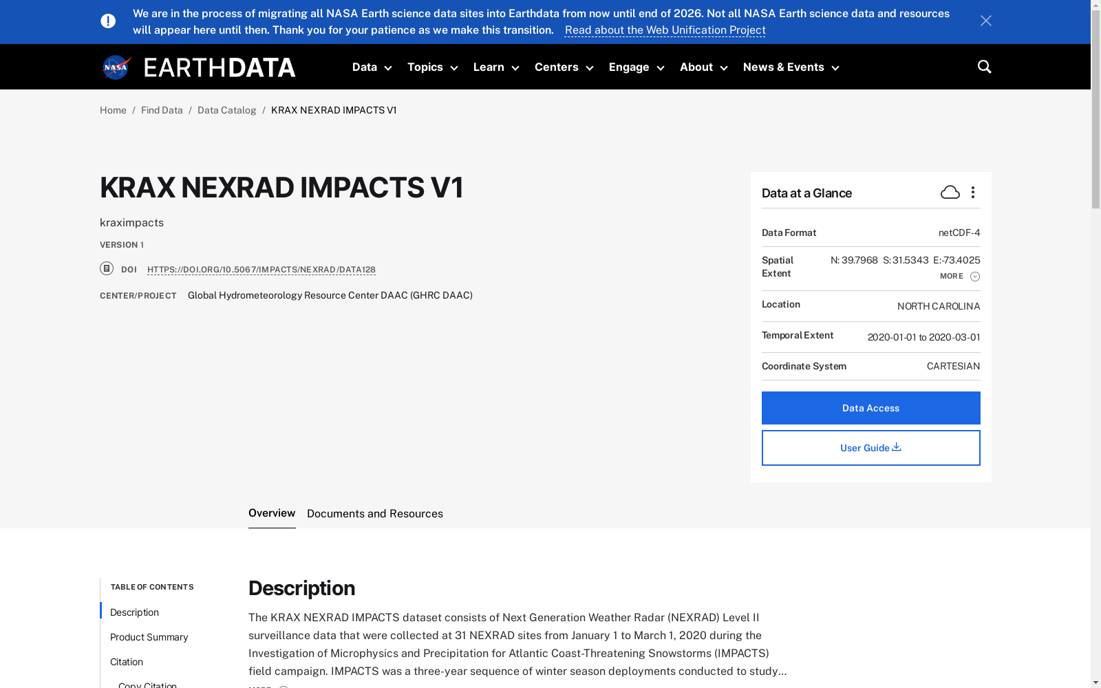
The KRAX NEXRAD IMPACTS dataset consists of Next Generation Weather Radar (NEXRAD) Level II surveillance data that were collected at 31 NEXRAD sites from January 1 to March 1, 2020 during the Investigation of Microphysics and Precipitation for Atlantic Coast-Threatening Snowstorms (IMPACTS) field campaign. IMPACTS was a three-year sequence of winter season deployments conducted to study snowstorms over the U.S Atlantic Coast. The campaign aimed to (1) Provide observations critical to understanding the mechanisms of snowband formation, organization, and evolution; (2) Examine how the microphysical characteristics and likely growth mechanisms of snow particles vary across snowbands; and (3) Improve snowfall remote sensing interpretation and modeling to significantly advance prediction capabilities. There are currently 160 Weather Surveillance Radar-1988 Doppler (WSR-88D) or NEXRAD sites throughout the United States and abroad. These Level II datasets contain meteorological and dual-polarization base data quantities including: radar reflectivity, radial velocity, spectrum width, differential reflectivity, differential phase, and cross correlation ratio. The IMPACTS NEXRAD Level II data files are available in netCDF-4 format. It should be noted that this dataset will be updated in subsequent years of the IMPACTS campaign.
KRAX NEXRAD IMPACTS 数据集由次世代天气雷达(NEXRAD)二级监视数据构成,这些数据于2020年1月1日至3月1日期间,在31个NEXRAD站点采集,旨在对大西洋沿岸威胁性暴风雪的微物理和降水进行调研(IMPACTS)。IMPACTS 是一项为期三年的冬季部署计划,旨在研究美国大西洋沿岸的暴风雪。该活动旨在(1)提供对雪带形成、组织及演化的机制至关重要的观测;(2)探究雪粒的微物理特性及其潜在增长机制在雪带间的差异;(3)提升降雪远程传感的解读与建模,以显著推进预测能力。目前,美国及其海外共有160个天气监视雷达-1988多普勒(WSR-88D)或NEXRAD站点。这些二级数据集包含气象及双偏振基础数据量,包括:雷达反射率、径向速度、谱宽、差分反射率、差分相位和互相关比。IMPACTS NEXRAD二级数据文件以netCDF-4格式提供。值得注意的是,该数据集将在IMPACTS活动的后续年份进行更新。
提供机构:
Earthdata
搜集汇总
数据集介绍
背景与挑战
背景概述
KRAX NEXRAD IMPACTS V1数据集包含2020年冬季美国大西洋海岸雪暴的NEXRAD Level II雷达监测数据,用于研究雪暴的微物理特性和降雪机制。数据以netCDF-4格式提供,覆盖北卡罗来纳州附近区域,由GHRC DAAC发布。
以上内容由遇见数据集搜集并总结生成



