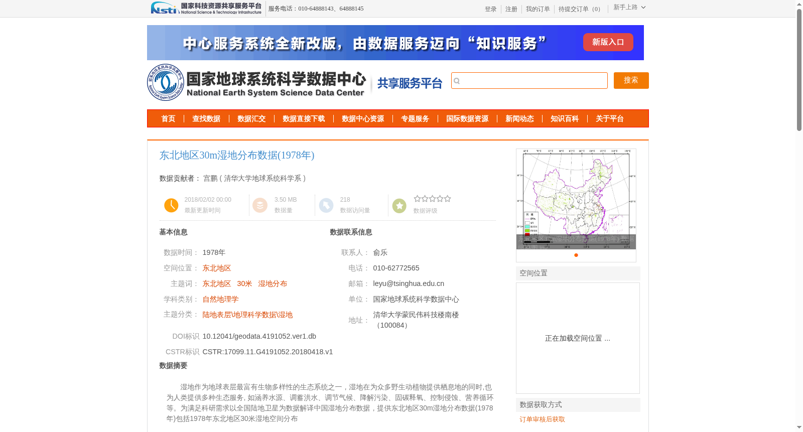
东北地区30m湿地分布数据(1978年)
收藏资源简介:
湿地作为地球表层最富有生物多样性的生态系统之一,湿地在为众多野生动植物提供栖息地的同时,也为人类提供多种生态服务, 如涵养水源、调蓄洪水、调节气候、降解污染、固碳释氧、控制侵蚀、营养循环等。为满足科研需求以全国陆地卫星为数据解译中国湿地分布数据,提供东北地区30m湿地分布数据(1978年)包括1978年东北地区30米湿地空间分布
Wetlands are among the most biodiverse ecosystems on Earth's surface. They not only provide habitats for a vast array of wild fauna and flora, but also deliver a wide range of ecosystem services to humans, including water conservation, flood regulation and storage, climate regulation, pollution degradation, carbon sequestration and oxygen release, erosion control, nutrient cycling, and more. To meet scientific research needs, China's wetland distribution data was interpreted using national land satellite data. A 30 m wetland distribution dataset of Northeast China in 1978 is provided, which covers the spatial distribution of wetlands in Northeast China during 1978.