吉林省1:100万黑土资源分布数据集(1980年)
收藏国家地球系统科学数据中心2018-07-08 更新2024-03-04 收录
下载链接:
https://www.geodata.cn/data/datadetails.html?dataguid=212579983083562&docId=19324
下载链接
链接失效反馈官方服务:
资源简介:
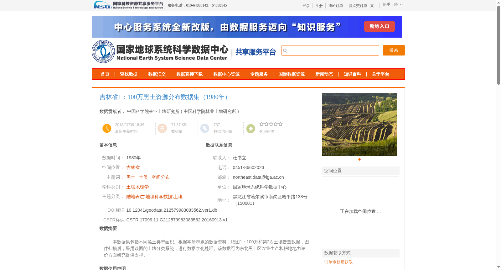
本数据集包括不同黑土类型面积。根据本所积累的数据资料,纸图1:100万和第2次土壤普查数据,图件扫描后,采用该图的土壤分类系统,进行数据字化处理。该数据可为东北黑土区农业生产和耕地地力评价方面研究提供支撑。
This dataset contains the areas of different black soil types. Based on the data accumulated by our institute, including 1:1,000,000 paper maps and the dataset from the Second National Soil Survey, digitization was conducted after scanning the map sheets using the soil classification system specified in these maps. This dataset can provide support for research on agricultural production and cultivated land fertility evaluation in the Northeast black soil region.
提供机构:
中国科学院林业土壤研究所
创建时间:
2016-09-13
搜集汇总
数据集介绍
背景与挑战
背景概述
该数据集为1980年吉林省1:100万比例尺的黑土资源分布数据,基于第二次土壤普查资料和纸图扫描矢量化处理而成,采用Krasovsky_1940_Albers投影,主要用于东北黑土区农业生产和耕地地力评价研究。数据由中国科学院林业土壤研究所贡献,通过国家地球系统科学数据中心提供。
以上内容由遇见数据集搜集并总结生成


