长三角1:100万湖泊分布数据集(1960s-1980s)
收藏国家地球系统科学数据中心2020-07-21 更新2024-03-04 收录
下载链接:
https://www.geodata.cn/data/datadetails.html?dataguid=47774790236501&docId=12489
下载链接
链接失效反馈官方服务:
资源简介:
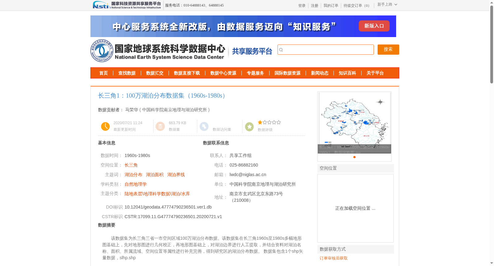
该数据集为长三角三省一市空间区域100万湖泊分布数据。该数据集在长三角1960s至1980s多幅地形图基础上,先对地形图进行几何校正,再地形图基础上,对湖泊边界进行人工提取,并结合资料对湖泊名称、面积、所属流域、空间位置等属性进行补充完善,得到研究区的湖泊分布数据。
数据集包含1个shp矢量数据,slhp.shp
This dataset is a 1:1,000,000-scale lake distribution dataset for the spatial scope of the Yangtze River Delta (three provinces and one municipality directly under the Central Government). It was developed based on multiple topographic maps of the Yangtze River Delta from the 1960s to the 1980s. First, geometric correction was performed on these topographic maps. Next, lake boundaries were manually extracted from the corrected maps. Furthermore, attributes including lake names, areas, affiliated drainage basins, and spatial locations were supplemented and refined using relevant reference data, ultimately yielding the lake distribution dataset for the study area. The dataset contains one shapefile vector data file named slhp.shp.
提供机构:
中国科学院南京地理与湖泊研究所
创建时间:
2020-07-21
搜集汇总
数据集介绍
背景与挑战
背景概述
该数据集为长三角地区1960s至1980s的湖泊分布数据,基于多幅地形图进行几何校正和人工提取湖泊边界,并补充了湖泊名称、面积等属性信息。数据采用albers投影,质量优良可靠,适用于自然地理学等相关研究。
以上内容由遇见数据集搜集并总结生成


