基于卫星雷达和雨量计融合的东亚地区高分辨率(0.01°)逐小时降水数据集(2017-2022)
收藏国家青藏高原科学数据中心2025-11-24 更新2025-09-20 收录
下载链接:
https://data.tpdc.ac.cn/zh-hans/data/89722216-c43d-4a54-a896-11e6bdae030a
下载链接
链接失效反馈官方服务:
资源简介:
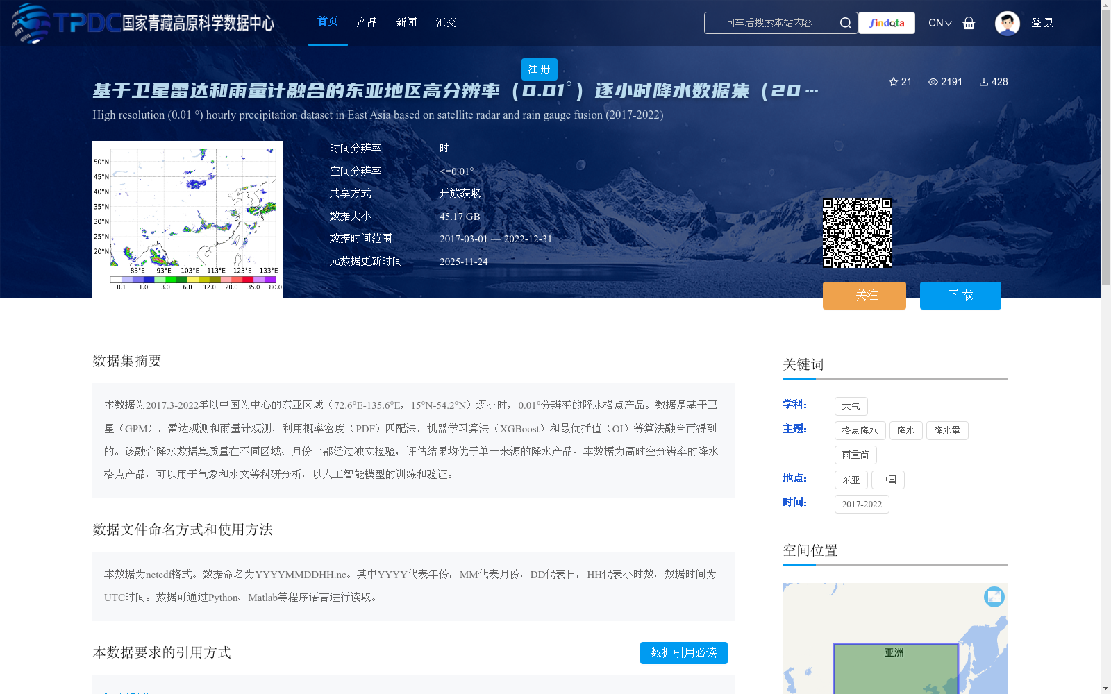
本数据为2017.3-2022年以中国为中心的东亚区域(72.6°E-135.6°E,15°N-54.2°N)逐小时,0.01°分辨率的降水格点产品。数据是基于卫星(GPM)、雷达观测和雨量计观测,利用概率密度(PDF)匹配法、机器学习算法(XGBoost)和最优插值(OI)等算法融合而得到的。该融合降水数据集质量在不同区域、月份上都经过独立检验,评估结果均优于单一来源的降水产品。本数据为高时空分辨率的降水格点产品,可以用于气象和水文等科研分析,以人工智能模型的训练和验证。
This dataset is an hourly gridded precipitation product with a spatial resolution of 0.01°, covering the East Asian region centered on China (72.6°E–135.6°E, 15°N–54.2°N) from March 2017 to 2022. It is generated by fusing satellite (GPM), radar and rain gauge observations using multiple algorithms including the probability density function (PDF) matching method, machine learning algorithm XGBoost, and optimal interpolation (OI). The quality of this merged precipitation dataset has been independently validated across different regions and months, with evaluation results showing that it outperforms single-source precipitation products. As a high spatiotemporal resolution gridded precipitation product, this dataset can be used for meteorological and hydrological scientific research analyses, as well as the training and validation of artificial intelligence models.
提供机构:
夏菡梦,王开存
创建时间:
2024-09-03
搜集汇总
数据集介绍
背景与挑战
背景概述
该数据集为2017-2022年东亚地区(72.6°E-135.6°E,15°N-54.2°N)的高分辨率(0.01°)逐小时降水格点产品,融合了卫星(GPM)、雷达和雨量计观测数据,采用概率密度匹配法、机器学习算法和最优插值等方法,数据质量优于单一来源产品,适用于气象、水文科研及AI模型训练。
以上内容由遇见数据集搜集并总结生成


