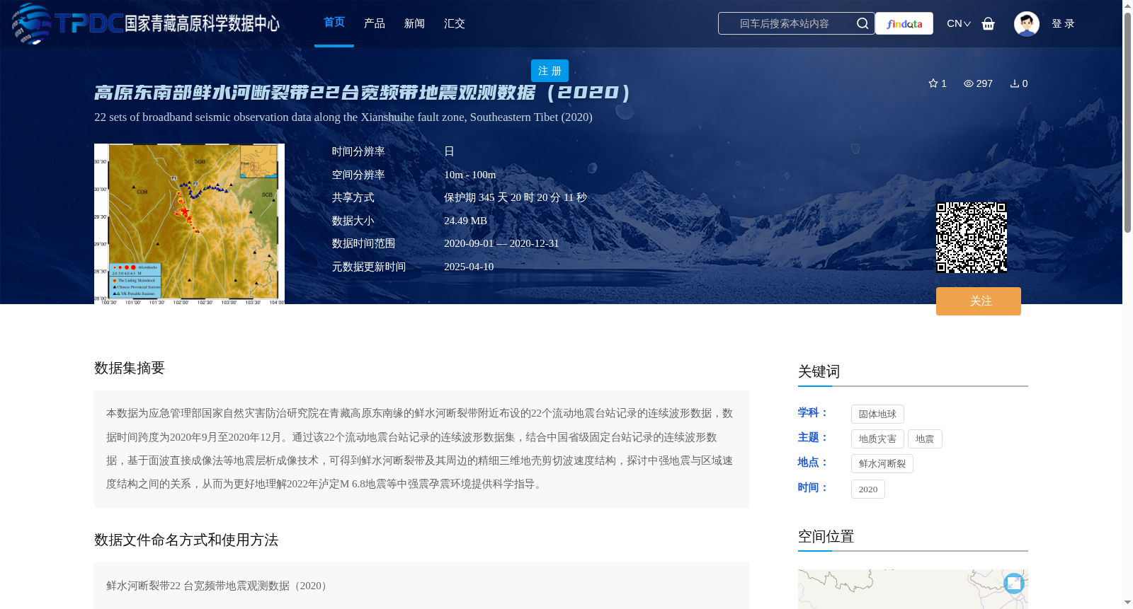
高原东南部鲜水河断裂带22台宽频带地震观测数据(2020)
收藏资源简介:
本数据为应急管理部国家自然灾害防治研究院在青藏高原东南缘的鲜水河断裂带附近布设的22个流动地震台站记录的连续波形数据,数据时间跨度为2020年9月至2020年12月。通过该22个流动地震台站记录的连续波形数据集,结合中国省级固定台站记录的连续波形数据,基于面波直接成像法等地震层析成像技术,可得到鲜水河断裂带及其周边的精细三维地壳剪切波速度结构,探讨中强地震与区域速度结构之间的关系,从而为更好地理解2022年泸定M 6.8地震等中强震孕震环境提供科学指导。
This dataset comprises continuous waveform data recorded by 22 mobile seismic stations deployed near the Xianshuihe Fault Zone in the southeastern margin of the Tibetan Plateau by the National Institute of Natural Hazards Mitigation under the Ministry of Emergency Management of China, with a time span from September 2020 to December 2020. By combining this continuous waveform dataset from the 22 mobile stations with continuous waveform data recorded by provincial permanent seismic stations across China, and adopting seismic tomography techniques including the direct surface wave imaging method, high-resolution 3D crustal shear-wave velocity structures of the Xianshuihe Fault Zone and its adjacent regions can be derived. By exploring the correlation between moderate-strong earthquakes and regional velocity structures, this dataset can provide scientific guidance for better understanding the seismogenic environments of moderate-strong earthquakes such as the 2022 Luding M 6.8 earthquake.