江苏省500米分辨率归一化植被指数NDVI (2015-2019年)
收藏国家地球系统科学数据中心2021-09-08 更新2024-03-04 收录
下载链接:
https://www.geodata.cn/data/datadetails.html?dataguid=113781250092232&docId=10795
下载链接
链接失效反馈官方服务:
资源简介:
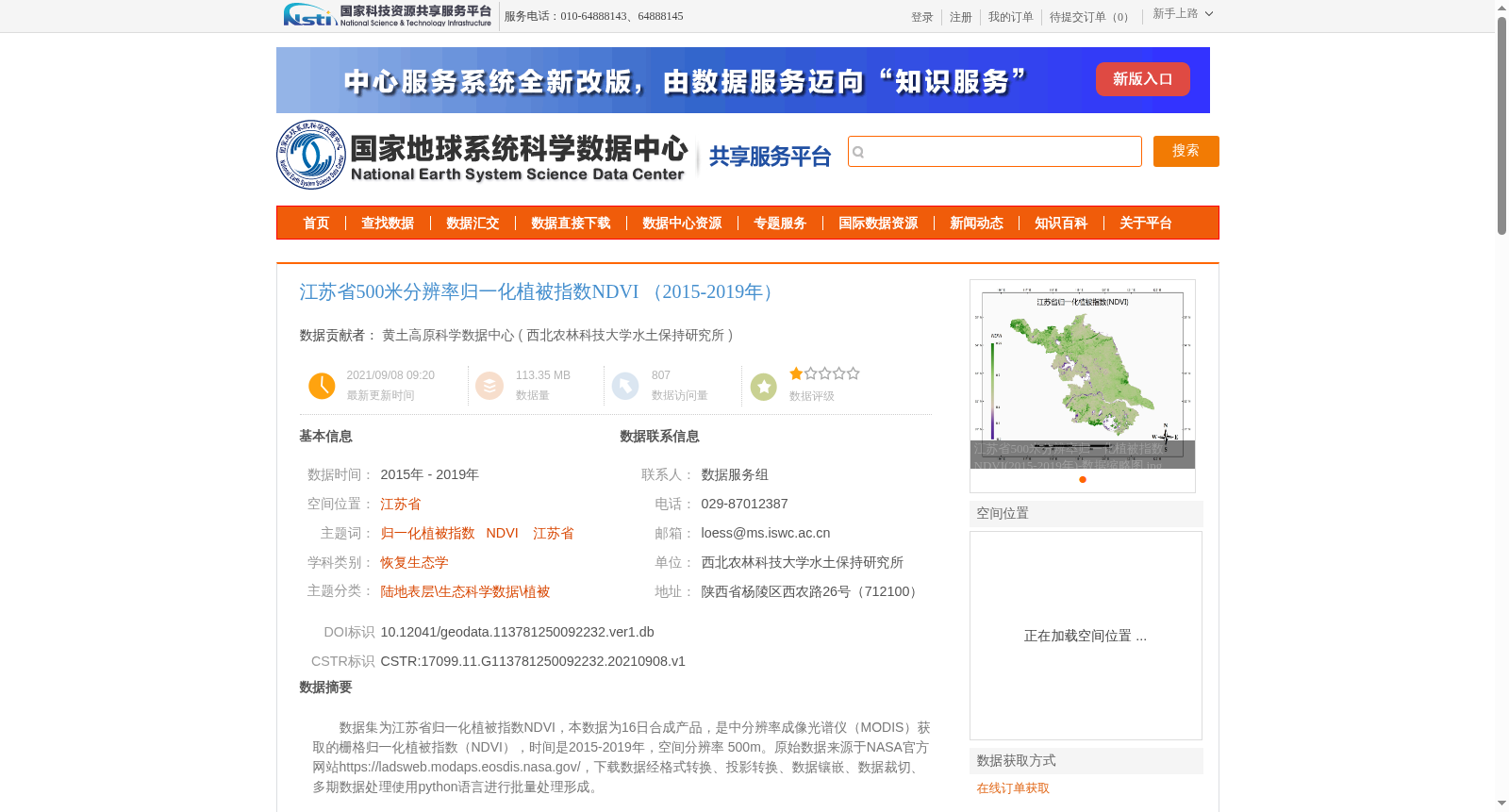
数据集为江苏省归一化植被指数NDVI,本数据为16日合成产品,是中分辨率成像光谱仪(MODIS)获取的栅格归一化植被指数(NDVI),时间是2015-2019年,空间分辨率 500m。原始数据来源于NASA官方网站https://ladsweb.modaps.eosdis.nasa.gov/,下载数据经格式转换、投影转换、数据镶嵌、数据裁切、多期数据处理使用python语言进行批量处理形成。
This dataset is a 16-day composite product of raster Normalized Difference Vegetation Index (NDVI) for Jiangsu Province, acquired by the Moderate Resolution Imaging Spectroradiometer (MODIS). It covers the time period from 2015 to 2019 with a spatial resolution of 500 meters. The original raw data was obtained from the official NASA website https://ladsweb.modaps.eosdis.nasa.gov/, and the downloaded data was processed in batch using Python for format conversion, projection transformation, data mosaicking, data clipping, and multi-temporal data processing to generate the final dataset.
提供机构:
西北农林科技大学水土保持研究所
创建时间:
2021-09-08
搜集汇总
数据集介绍
背景与挑战
背景概述
该数据集提供了江苏省2015-2019年间的500米分辨率归一化植被指数NDVI数据,数据来源于NASA的MODIS传感器,经过格式转换、投影转换等处理,适用于植被覆盖和生态研究。
以上内容由遇见数据集搜集并总结生成


