2017-2021中国内蒙古草原矿区生态数据集
收藏地球大数据科学工程2024-03-04 收录
下载链接:
https://data.casearth.cn/sdo/detail/653c9915819aec42f01ae676
下载链接
链接失效反馈官方服务:
资源简介:
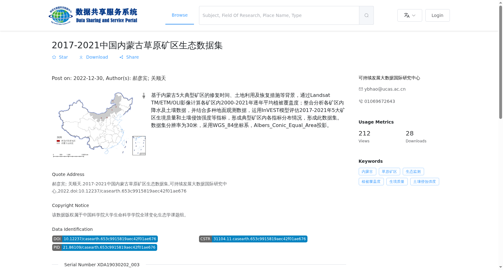
基于内蒙古5大典型矿区的修复时间、土地利用及恢复措施等背景,通过Landsat TM/ETM/OLI影像计算各矿区内2000-2021年逐年平均植被覆盖度;整合分析各矿区内降水及土壤数据,并结合多种地面观测数据,运用InVEST模型评估2017-2021年5大矿区生境质量和土壤侵蚀强度等指标,形成典型矿区内各指标分布情况,形成此数据集。数据集分辨率为30米,采用WGS_84坐标系,Albers_Conic_Equal_Area投影。
Based on the background information including restoration timeline, land use status and restoration measures of the five typical mining areas in Inner Mongolia, this dataset was compiled by: calculating the annual average vegetation coverage in each mining area from 2000 to 2021 using Landsat TM/ETM/OLI images; integrating and analyzing precipitation and soil data within each mining area, combining multiple ground observation datasets, and applying the InVEST model to evaluate indicators such as habitat quality and soil erosion intensity of the five mining areas during 2017–2021, thus generating the spatial distribution of each indicator in the typical mining areas. This dataset has a spatial resolution of 30 meters, adopts the WGS_84 coordinate system and Albers_Conic_Equal_Area projection.
提供机构:
可持续发展大数据国际研究中心
搜集汇总
数据集介绍
背景与挑战
背景概述
该数据集涵盖2017-2021年内蒙古五大草原矿区的生态监测数据,包括植被覆盖度、生境质量和土壤侵蚀强度等指标,基于Landsat影像和地面观测数据生成,空间分辨率为30米。
以上内容由遇见数据集搜集并总结生成


