青藏高原0.01°逐日雪水当量数据集(2000-2018)
收藏国家青藏高原科学数据中心2022-04-18 更新2024-04-21 收录
下载链接:
https://data.tpdc.ac.cn/zh-hans/data/ef039968-7310-4172-8888-8be29d4cfbf0
下载链接
链接失效反馈官方服务:
资源简介:
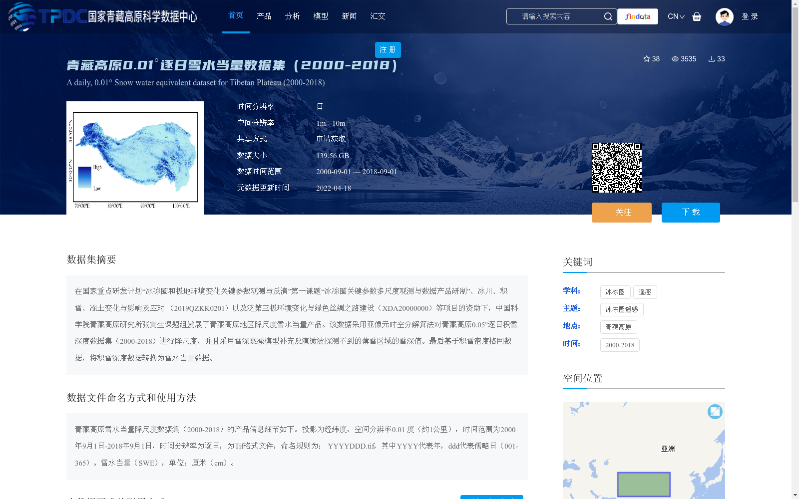
在国家重点研发计划“冰冻圈和极地环境变化关键参数观测与反演”第一课题“冰冻圈关键参数多尺度观测与数据产品研制”、冰川、积雪、冻土变化与影响及应对 (2019QZKK0201)以及泛第三极环境变化与绿色丝绸之路建设(XDA20000000)等项目的资助下,中国科学院青藏高原研究所张寅生课题组发展了青藏高原地区降尺度雪水当量产品。该数据采用亚像元时空分解算法对青藏高原0.05°逐日积雪深度数据集(2000-2018)进行降尺度,并且采用雪深衰减模型补充反演微波探测不到的薄雪区域的雪深值。最后基于积雪密度格网数据,将积雪深度数据转换为雪水当量数据。
Funded by the first topic of the National Key Research and Development Program of China "Key Parameter Observation and Retrieval of Cryospheric and Polar Environmental Changes" (i.e., "Multi-scale Observation and Data Product Development of Key Cryosphere Parameters"), the project "Glacier, Snow Cover, Frozen Ground Changes, Impacts and Adaptation" (Grant No. 2019QZKK0201), and the project "Pan-third Pole Environmental Changes and Green Silk Road Construction" (Grant No. XDA20000000), a research group led by Yinsheng Zhang from the Institute of Tibetan Plateau Research, Chinese Academy of Sciences (ITPCAS) developed a downscaled snow water equivalent product over the Tibetan Plateau. This work adopted a sub-pixel spatiotemporal decomposition algorithm to downscale the 0.05° daily snow depth dataset over the Tibetan Plateau covering 2000–2018. Additionally, a snow depth attenuation model was employed to supplement and retrieve snow depth values in thin snow areas undetectable by microwave sensors. Finally, based on the snow cover density grid dataset, the snow depth data was converted into snow water equivalent data.
提供机构:
闫大江,张寅生
创建时间:
2022-03-19
搜集汇总
数据集介绍
背景与挑战
背景概述
该数据集是青藏高原地区2000年至2018年的逐日雪水当量数据,空间分辨率为0.01度(约1公里),通过降尺度算法从0.05°积雪深度数据生成,并补充了薄雪区域的反演,以Tif格式提供,数据量达139.56 GB。它主要用于冰冻圈遥感研究,覆盖青藏高原全境,需申请获取并遵循特定引用规范。
以上内容由遇见数据集搜集并总结生成


