American Psychological Association (APA) PsycINFO
收藏www.apa.org2024-10-26 收录
下载链接:
https://www.apa.org/pubs/databases/psycinfo
下载链接
链接失效反馈资源简介:
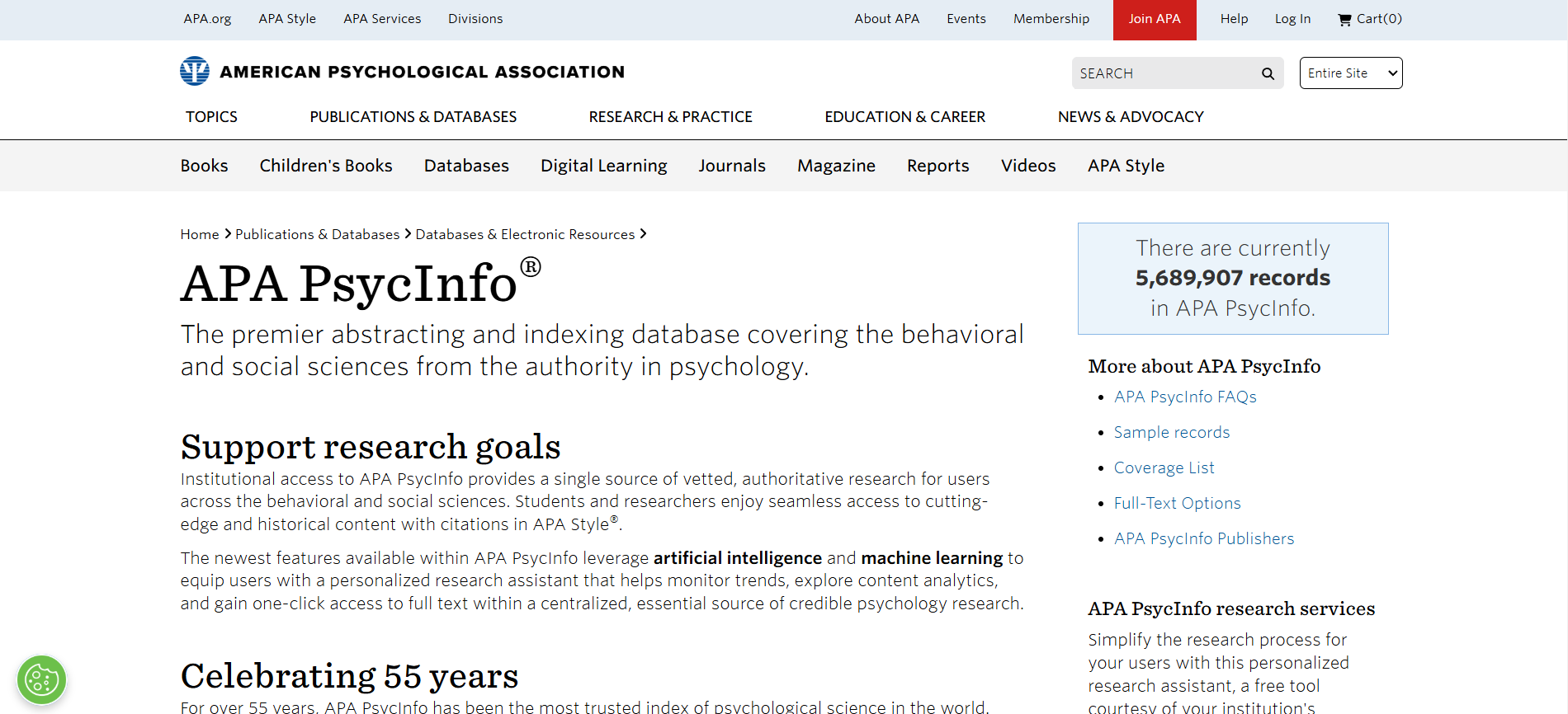
PsycINFO是一个全面的心理学文献数据库,涵盖了心理学及其相关领域的研究文献,包括期刊文章、书籍、书籍章节和论文。它提供了从1800年代至今的超过400万条记录。
PsycINFO is a comprehensive psychological literature database covering research literature in psychology and its related fields, including journal articles, books, book chapters, and academic papers. It contains over 4 million records spanning from the 1800s to the present day.
提供机构:
www.apa.org
AI搜集汇总
数据集介绍
构建方式
APA PsycINFO数据集的构建基于美国心理学会(American Psychological Association, APA)的广泛文献收集和系统化整理。该数据集涵盖了自1806年以来全球范围内的心理学及相关学科的学术文献,包括期刊文章、书籍、会议论文等。通过严格的文献筛选和分类体系,确保了数据的高质量和学术权威性。
特点
APA PsycINFO数据集以其全面性和权威性著称,包含了超过400万条记录,涵盖了心理学、教育学、社会学等多个学科领域。其特点在于详细的文献元数据,包括作者、出版年份、关键词、摘要等,便于用户进行深入的文献检索和分析。此外,数据集还提供了多种检索工具和接口,支持跨学科的研究需求。
使用方法
APA PsycINFO数据集主要用于学术研究和文献综述,研究人员可以通过其强大的检索功能快速定位相关文献。用户可以利用数据集中的关键词、摘要和分类信息进行精确检索,同时还可以通过高级检索功能进行复杂的查询操作。此外,数据集支持导出功能,方便用户将检索结果用于进一步的分析和研究。
背景与挑战
背景概述
American Psychological Association (APA) PsycINFO数据集,作为心理学领域的重要资源,由美国心理学会(APA)于1967年创建。该数据集汇集了全球范围内的心理学及相关学科的文献,涵盖了从基础研究到应用实践的广泛内容。PsycINFO的建立旨在为研究人员、教育工作者和临床心理学家提供一个全面、权威的信息平台,以支持心理学领域的学术研究和实践应用。其影响力不仅限于学术界,还延伸至政策制定、临床实践和社会服务等多个领域,成为心理学研究不可或缺的工具。
当前挑战
尽管PsycINFO数据集在心理学领域具有重要地位,但其构建和维护过程中仍面临诸多挑战。首先,数据集的更新速度需与心理学研究的快速发展保持同步,以确保信息的时效性和准确性。其次,数据集的国际化特性要求其能够涵盖多语言、多文化的研究成果,这对数据采集和分类提出了更高的要求。此外,随着大数据和人工智能技术的发展,如何有效整合和分析PsycINFO中的海量数据,以提供更深入的洞察和预测,也是当前面临的重要挑战。
发展历史
创建时间与更新
APA PsycINFO数据集创建于1967年,由美国心理学会(American Psychological Association, APA)开发,旨在系统地收集和整理心理学及相关领域的文献。该数据集自创建以来,持续进行更新,以确保其内容的时效性和全面性。
重要里程碑
APA PsycINFO数据集的重要里程碑包括1974年首次实现计算机化检索,极大地提高了文献检索的效率和准确性。1998年,该数据集开始提供在线访问服务,进一步扩大了其影响力和使用范围。2001年,APA PsycINFO引入了XML格式,使得数据交换和集成更加便捷。此外,2010年,该数据集与PsycARTICLES整合,提供更全面的心理学文献资源。
当前发展情况
当前,APA PsycINFO数据集已成为心理学及相关领域研究的重要资源,涵盖了超过400万条记录,涉及期刊文章、书籍、会议论文等多种文献类型。该数据集不仅支持学术研究,还为临床实践、教育培训和政策制定提供了宝贵的信息支持。通过持续的技术创新和内容扩展,APA PsycINFO继续在全球范围内推动心理学知识的传播和应用。
发展历程
- APA PsycINFO首次发表,作为心理学领域的文献数据库,旨在收集和整理全球心理学及相关学科的学术文献。
- APA PsycINFO开始提供计算机化的文献检索服务,标志着其向数字化转型的重要一步。
- APA PsycINFO推出在线版本,用户可以通过互联网访问数据库,极大地扩展了其使用范围和便捷性。
- APA PsycINFO引入XML格式,增强了数据的可读性和互操作性,为后续的数据分析和研究提供了便利。
- APA PsycINFO开始提供移动设备访问服务,进一步提升了用户的使用体验和便捷性。
- APA PsycINFO推出新的用户界面和功能,包括高级搜索选项和数据可视化工具,以满足日益增长的学术研究需求。
常用场景
经典使用场景
在心理学研究领域,American Psychological Association (APA) PsycINFO数据集被广泛用于文献检索和知识发现。该数据集收录了全球范围内的心理学及相关学科的学术文献,涵盖了从基础理论到应用研究的广泛主题。研究者通过该数据集可以系统地检索和分析心理学领域的研究成果,从而支持其理论构建和实证研究。
衍生相关工作
基于APA PsycINFO数据集,衍生了许多经典的工作和研究。例如,文献计量学领域的研究者利用该数据集进行心理学领域的引文分析,揭示学科发展的趋势和关键节点。同时,知识图谱构建和文本挖掘技术的应用,使得从海量文献中提取和整合知识成为可能,推动了心理学领域的知识管理和智能检索技术的发展。
数据集最近研究
最新研究方向
在心理学领域,American Psychological Association (APA) PsycINFO数据集的最新研究方向主要集中在跨学科的心理健康研究。随着全球心理健康问题的日益突出,研究者们利用该数据集整合了心理学、社会学、神经科学等多学科的数据,以探索复杂心理现象的深层机制。此外,数据集还被广泛应用于人工智能和机器学习领域,通过大数据分析和模式识别技术,揭示心理健康问题的早期预警信号和干预策略。这些研究不仅推动了心理学理论的发展,也为实际应用提供了科学依据,对提升公众心理健康水平具有重要意义。
相关研究论文
- 1PsycINFO: A Comprehensive Database for Psychological ResearchAmerican Psychological Association · 2005年
- 2The Role of PsycINFO in Psychological Research: A ReviewUniversity of California, Los Angeles · 2020年
- 3Enhancing Research Quality with PsycINFO: A Case StudyUniversity of Michigan · 2019年
- 4PsycINFO and Big Data: Opportunities and ChallengesStanford University · 2021年
- 5Integrating PsycINFO with Machine Learning for Predictive AnalysisMassachusetts Institute of Technology · 2022年
以上内容由AI搜集并总结生成


